Lakes & Rivers
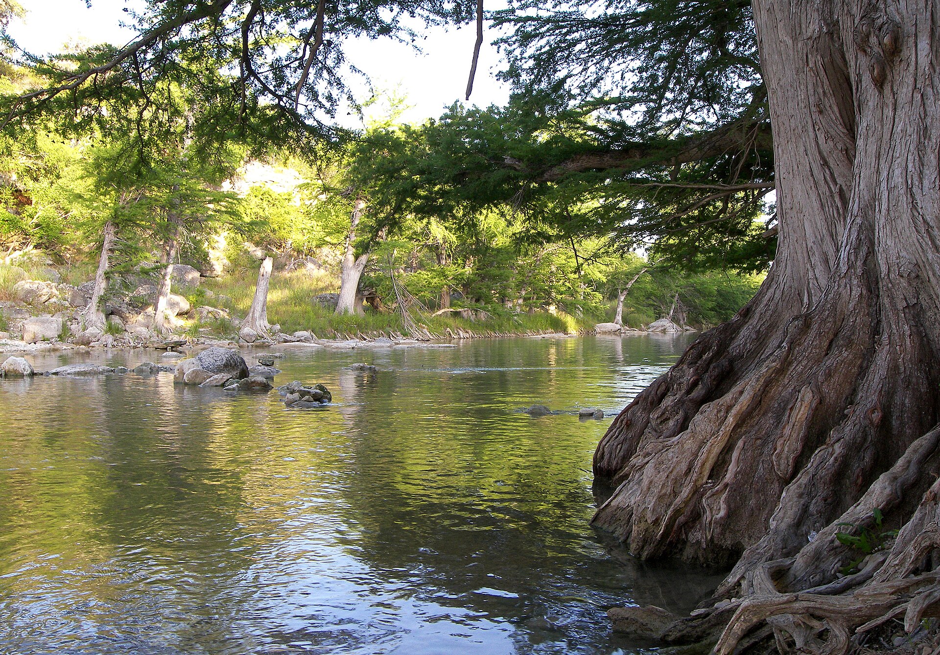
Major Rivers of Texas: Basins, Regions & Waterways Explained
Major Texas rivers and 15 river basins explained, including the Rio Grande, Brazos, Colorado, Guadalupe, Trinity and Sabine.
August 13, 2026 · About 12 minutes
The Texas Guidebook
Ten deeply reported Texas Defined guides, plus twenty-five focused supporting explainers and system profiles, connecting the water, roads, towns, landscapes, wildlife, homes, land and migration patterns that make Texas work the way it does.
Start with the big picture
These are not ten unrelated stories. Rivers influenced settlement. Reservoirs changed where cities could grow. Roads connected farms and ranches to markets. Courthouse squares organized towns. Plants, wildlife, architecture and migration all followed the geography in different ways. Read together, the guides form a working explanation of the state.
Quick answers
Each answer is the short version. The linked guide explains the history, geography and practical details behind it.
Land and water
Rivers, reservoirs, plants, trees and wildlife explain why different parts of Texas look, feel and function so differently.
Guide 1 of 10
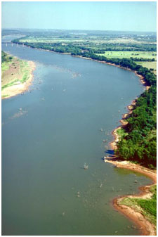
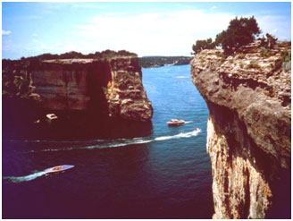
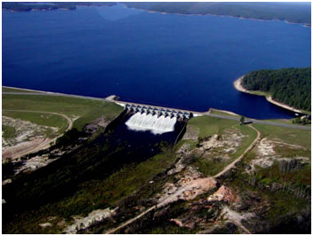
Lakes & Rivers
Major Texas rivers and 15 river basins explained, including the Rio Grande, Brazos, Colorado, Guadalupe, Trinity and Sabine.
August 13, 2026 · About 12 minutes
Guide 2 of 10
Guide 5 of 10
Guide 6 of 10
Wild Texas
August 13, 2026 · About 14 minutes
Guide 9 of 10
Wild Texas
August 13, 2026 · About 18 minutes
Built Texas
Road designations, courthouse squares, regional architecture and rural land ownership reveal how settlement, government and growth shaped everyday Texas.
Guide 3 of 10
Road Trips
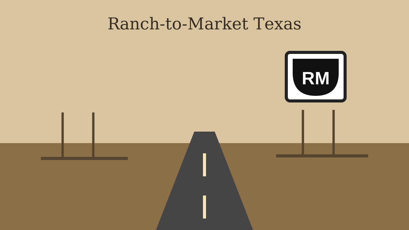
Those black-and-white FM shields are more than country-road decoration. They belong to a statewide highway system built to connect rural Texas to schools, towns and markets—and they still shape how the state feels from behind the wheel.
August 13, 2026 · About 11 minutes
Guide 4 of 10
Then & Now
August 13, 2026 · About 12 minutes
Guide 7 of 10
Guide 8 of 10
Homes and Land
August 13, 2026 · About 16 minutes
People and place
Migration and settlement patterns created regional identities that still show up in language, food, architecture, towns and traditions.
Guide 10 of 10
Then & Now
August 13, 2026 · About 18 minutes
Go deeper
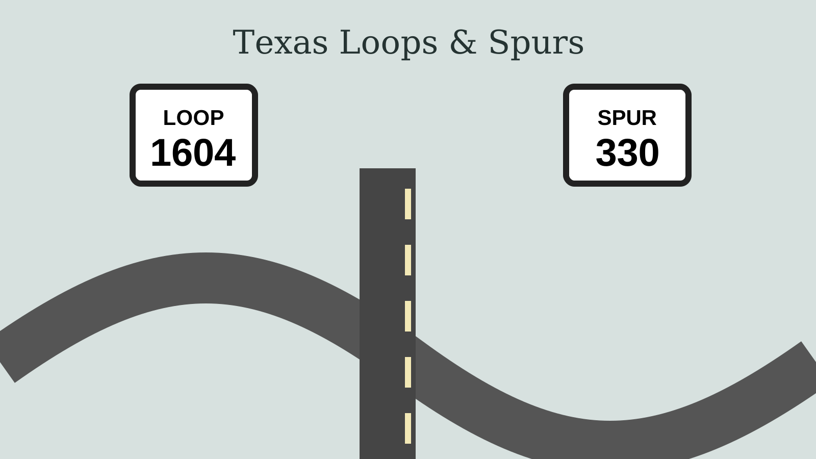
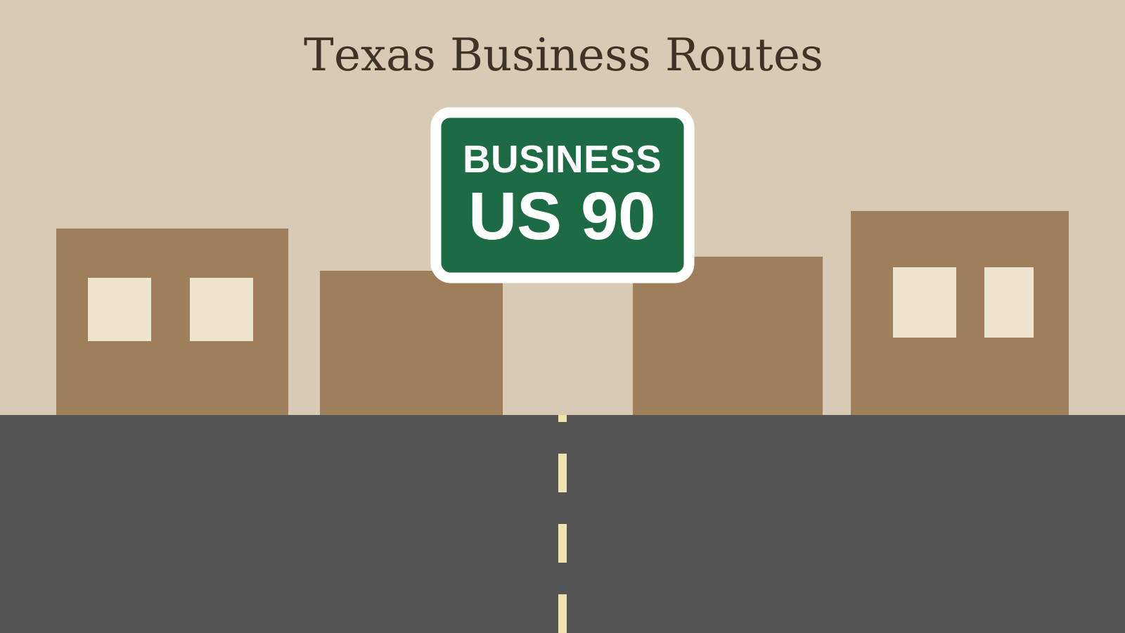
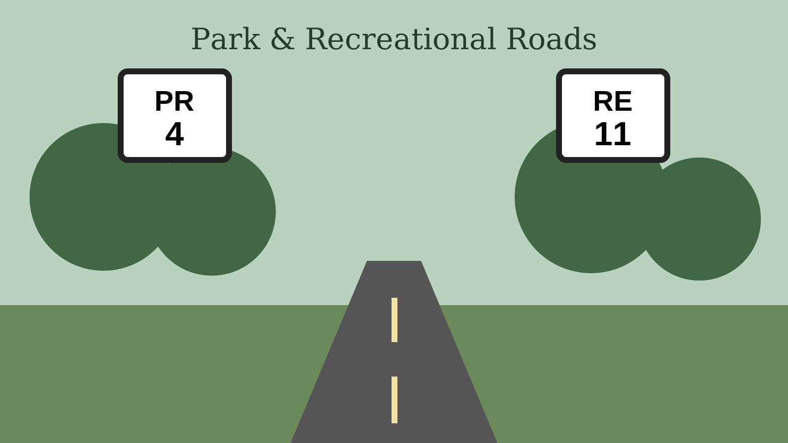
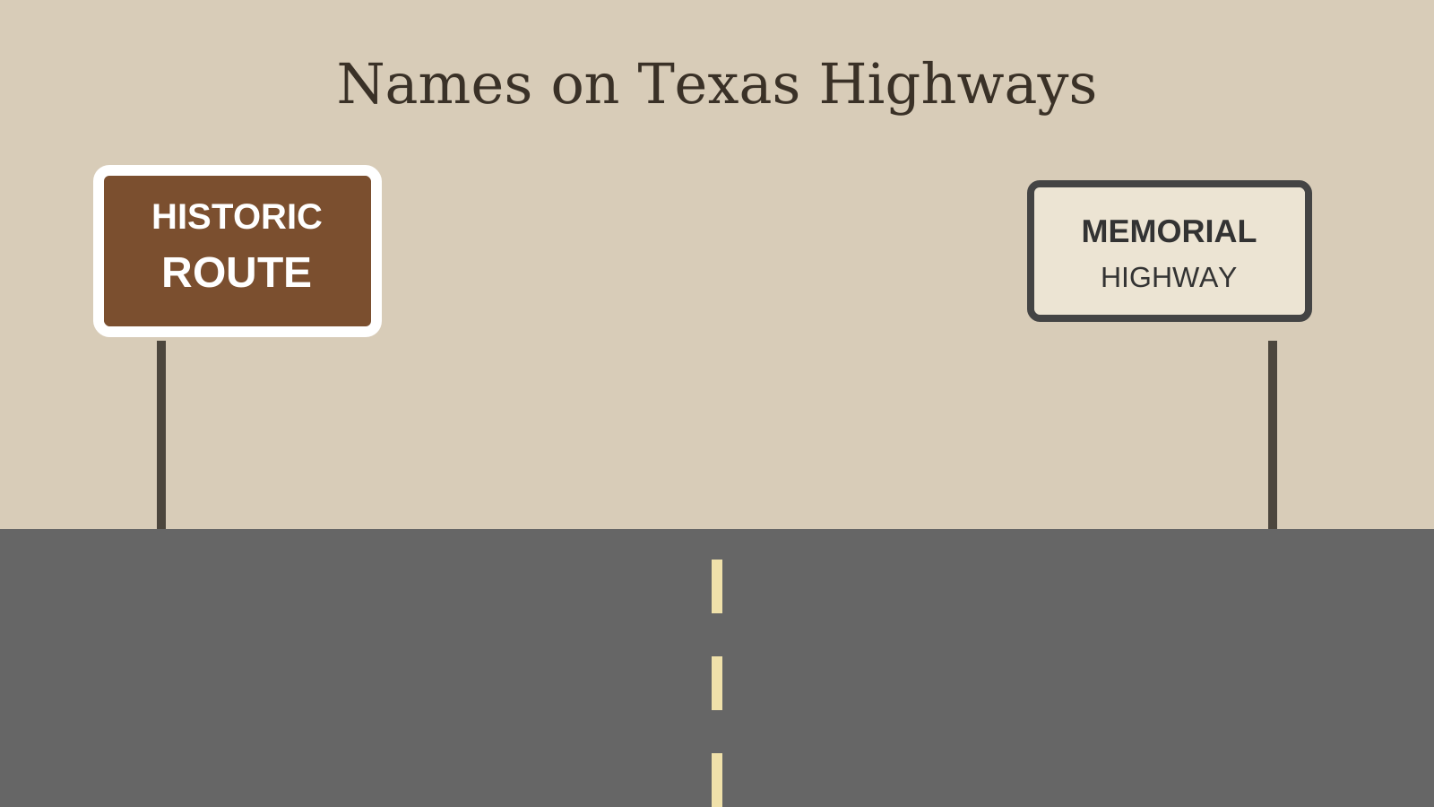
The first two layers break broad pillars into systems such as basins, aquifers, prairies, downtowns and railroads. River and reservoir profiles apply that framework to water, while the road-system layer decodes RM routes, loops, spurs, business routes, park roads and highway names.
Supporting explainers
Lakes & Rivers
August 16, 2026 · About 8 minutes
Road Trips
August 16, 2026 · About 8 minutes
Then & Now
August 16, 2026 · About 8 minutes
Wild Texas
August 16, 2026 · About 9 minutes
Then & Now
August 16, 2026 · About 9 minutes
Deeper guides
Lakes & Rivers
August 16, 2026 · About 9 minutes
Wild Texas
August 16, 2026 · About 9 minutes
Then & Now
August 16, 2026 · About 8 minutes
Homes and Land
August 16, 2026 · About 9 minutes
Major river profiles
Lakes & Rivers
August 16, 2026 · About 10 minutes
Lakes & Rivers
August 16, 2026 · About 10 minutes
Lakes & Rivers
August 16, 2026 · About 10 minutes
Lakes & Rivers
August 16, 2026 · About 10 minutes
Lakes & Rivers
August 16, 2026 · About 10 minutes
Reservoir water systems
Lakes & Rivers
August 16, 2026 · About 9 minutes
Lakes & Rivers
August 16, 2026 · About 9 minutes
Lakes & Rivers
August 16, 2026 · About 9 minutes
Lakes & Rivers
August 16, 2026 · About 9 minutes
Lakes & Rivers
August 16, 2026 · About 9 minutes
Texas road systems
Road Trips
August 16, 2026 · About 9 minutes
Road Trips
August 16, 2026 · About 9 minutes
Road Trips
August 16, 2026 · About 9 minutes
Road Trips
August 16, 2026 · About 9 minutes
Related primers
These sit outside the core 10-guide series. They connect naturally to Texas Explained, but they are not part of the 35-article core-and-depth collection.
Start with the physical map—forests, prairies, coast, limestone country, plains and desert—underneath many of the patterns in the core guides.
Read the primer →Trace the transition from plains and Hill Country toward the Chihuahuan Desert through rainfall, elevation, mountains, basins and arid West Texas geography.
Read the primer →See why Texas built such a dense local-government map and how county seats became organizing points for roads, records and civic life.
Read the primer →Zoom into one region where limestone, rivers, live oak, juniper, ranch roads and settlement history visibly reinforce one another.
Read the primer →Turn statewide knowledge about Texas plants, rainfall and regions into practical choices for a home landscape.
Read the primer →Follow migration, ranching, community traditions and regional identity into one of the state's most recognizable cultural maps.
Read the primer →