Texas Explained
Texas River Basins Explained: The Watersheds Behind the Map
Texas water makes more sense when you stop thinking only about individual rivers and start thinking in basins: the large drainage systems that connect rain, tributaries, reservoirs, cities, farms and the Gulf.
A river is a line on a map. A river basin is the whole landscape that drains toward that line. Once you see Texas that way, water stops looking like a collection of unrelated lakes and rivers and starts looking like a connected system.
The Texas Water Development Board recognizes 15 major river basins and eight coastal basins. Together they organize the flow of surface water across a state where rainfall, evaporation, soil, slope, vegetation and geology vary enormously from east to west.
What exactly is a river basin?
Imagine rain falling on a ridge. Water on one side eventually moves toward one river system; water on the other side drains somewhere else. That high ground is part of a watershed divide. The land on either side belongs to different basins even when the divide is subtle enough to miss from the road.
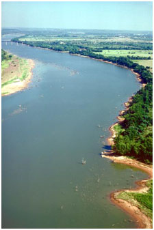
A major basin includes the main river, its tributaries and the land that drains into them. That means a city can sit far from the river itself and still be part of its basin. Reservoirs, creeks, floodplains and downstream bays are all pieces of the same hydrologic story.
Why Texas basins feel so different
Texas stretches from humid eastern forests to desert mountains. The Water Development Board notes that precipitation is one of the most important differences between basins, but it is not the only one. Evaporation, vegetation, soil type, slope, geology and land use also affect how much water becomes runoff and how quickly it moves.
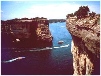
That is why an East Texas basin can carry broad, forested rivers while a West Texas basin may depend on far less dependable surface flow. Central Texas adds another pattern: limestone terrain, springs, flash-flooding creeks and rivers that can look calm until a major storm changes them quickly.
The big statewide basins
Some basin names are familiar because they are attached to Texas's best-known rivers: the Brazos, Colorado, Trinity, Guadalupe, Sabine, Neches, Nueces, Red and Rio Grande. Others are smaller but still important to the places they cross.
The map is not simply about size. A basin matters because it gathers water from many communities before carrying it toward another region. Upstream rainfall can become downstream river flow. A reservoir built for one metro area can sit inside a basin that also supports farms, wildlife habitat and coastal ecosystems farther away.
Coastal basins fill the spaces between major rivers
Texas also has designated coastal basins between the major river basins. These areas drain directly toward bays or the Gulf rather than through one of the large named river systems. Their names often combine the major basins on either side, which is a useful clue when reading a state water map.
The coastal-basins idea helps explain why Gulf Coast water does not all arrive through a famous river. Rain can move through bayous, creeks, marshes and smaller drainage networks straight toward an estuary.
Reservoirs belong to basins, not just counties
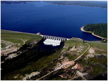
Texas reservoirs often get discussed as individual destinations or local water supplies, but hydrologically they sit inside river basins. A dam interrupts and stores part of a river system. The water entering a reservoir depends on what happens across the watershed above it.
This is one reason drought cannot be understood by looking only at rainfall over the lake. Reservoir inflow depends on how much rain falls across the contributing watershed, how dry the soil was before the storm, how much water is lost to evaporation and how the upstream landscape responds.
Basins are also planning units
The basin map is useful because water ignores city and county lines. A watershed can cross many local jurisdictions, so river planning has to think beyond any one municipal boundary. The same river may serve rural communities, major cities, industry, agriculture, recreation and environmental flows before it reaches the coast.
That does not mean every water decision is made at the basin scale. It means the basin is the physical system underneath those decisions.
How to read the Texas water map
- Start with the major river basin your community sits in.
- Look upstream to see where the basin gathers rainfall and tributary flow.
- Find major reservoirs and notice which river system feeds them.
- Follow the basin downstream toward the next city, agricultural region, bay or Gulf outlet.
- Compare the basin with Texas ecoregions to see how rainfall, soils and vegetation change the way water moves.
The basin is the hidden geography behind everyday Texas
County maps explain government. Highway maps explain movement. River-basin maps explain where surface water comes from and where it goes. They reveal relationships that are easy to miss when a lake is treated as a local attraction or a river as a blue line crossing a road.
Once you know your basin, Texas water becomes easier to read: the tributaries feed the river, the river feeds reservoirs and communities, the landscape controls runoff, and the whole system keeps moving toward another part of the state.
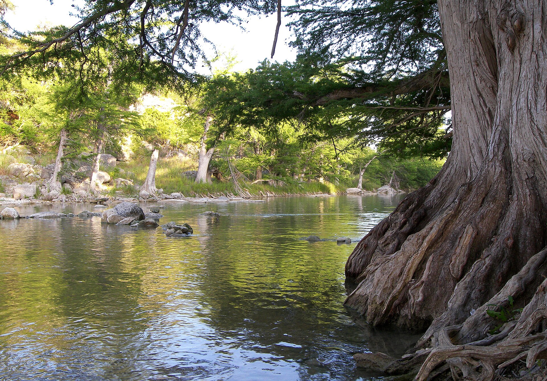
Image credit: Larry D. Moore · CC BY 4.0 · Wikimedia Commons
Primary source: Texas Water Development Board ↗
Filed under
- texas river basins
- texas watersheds
- texas rivers
- texas reservoirs
- texas water
- TWDB
Plan the trip
Places connected to this story
Destinations explicitly tied to this article in the Texas Defined guide.
Spring Branch · Comal County
Guadalupe River State Park
Four miles of Guadalupe River frontage between San Antonio and the Hill Country, pairing cypress-lined swimming and paddling water with trails, camping and access to the protected Honey Creek landscape.
Best season: Late spring through early fall for river time; fall through spring for comfortable hiking- Four miles of Guadalupe River frontage
- Swimming, tubing, paddling and fishing when river conditions allow
- Hill Country trails through prairie, oak woodland and river corridor
Del Rio · Val Verde County
Devils River State Natural Area
A remote, exceptionally clear spring-fed river natural area in Southwest Texas with two reservation-only units—Del Norte and Dan A. Hughes—protecting rugged limestone canyon country and primitive backcountry access.
Best season: Spring and fall for cooler backcountry travel; summer heat is severeUpdated Aug 2026- Del Norte Unit
- Dan A. Hughes Unit
- Clear spring-fed Devils River
From the magazine
More stories to read next
Lakes & Rivers
Toledo Bend Explained: Texas' Largest Reservoir and a Two-State Water Project
August 16, 2026 · About 9 minutes
Lakes & Rivers
Possum Kingdom Lake Explained: An Early Brazos River Multipurpose Reservoir
August 16, 2026 · About 9 minutes
Lakes & Rivers
Lake Whitney Explained: A Brazos River Reservoir Built for Multiple Jobs
August 16, 2026 · About 9 minutes