guides
The 7 Texas Regions, Defined
Texas does not have one universally accepted regional map. TexasDefined uses seven practical regions to organize the state's landscapes, cities, culture and travel: Big Bend Country, Gulf Coast, Hill Country, Panhandle Plains, Piney Woods, Prairies & Lakes and South Texas Plains.
Texas is one state on a map and several very different places on the ground. Pine forest near Louisiana, limestone river country west of Austin, High Plains around Amarillo, subtropical communities in the Rio Grande Valley and desert mountains near Big Bend all belong to Texas, but they do not look, feel or travel the same way.
That is why Texans, state agencies, tourism organizations, ecologists and historians use regional names so often. The complication is that they do not all draw the same lines. There is no single universally official seven-region map of Texas.
TexasDefined therefore uses one consistent editorial framework for statewide discovery. Our seven regions are meant to make the state easier to understand and explore while respecting the fact that real landscapes and cultures blend into one another.
The seven TexasDefined regions
- 1. Big Bend Country — far West Texas desert, mountains, dark skies and Rio Grande borderlands.
- 2. Gulf Coast — barrier islands, bays, marshes, ports and the coastal plain along the Gulf of Mexico.
- 3. Hill Country — Central Texas limestone hills, springs, rivers, ranch roads and small towns.
- 4. Panhandle Plains — the Panhandle, High Plains, caprock and canyon country of North and West Texas.
- 5. Piney Woods — the forested, lake-rich and bayou-cut landscapes of East Texas.
- 6. Prairies & Lakes — North and North-Central Texas prairie, reservoirs, historic towns and the Dallas–Fort Worth region.
- 7. South Texas Plains — brush country, ranchlands, border communities and the Rio Grande Valley.
1. Big Bend Country
Big Bend Country is TexasDefined's far-West Texas region: the Chihuahuan Desert, mountain ranges, immense skies and long distances of the Trans-Pecos. Big Bend National Park gives the region its best-known name, but the regional identity extends far beyond the park boundary.
Alpine, Marfa, Fort Davis, Marathon and Terlingua form a loose network of desert and mountain communities. The Davis Mountains add elevation and cooler air, while the Rio Grande cuts through canyons and marks an international border that has shaped the region for generations. TexasDefined also groups the El Paso borderlands with Big Bend Country because the far-west desert landscape, mountain geography and travel patterns connect more naturally here than with the state's plains to the east.
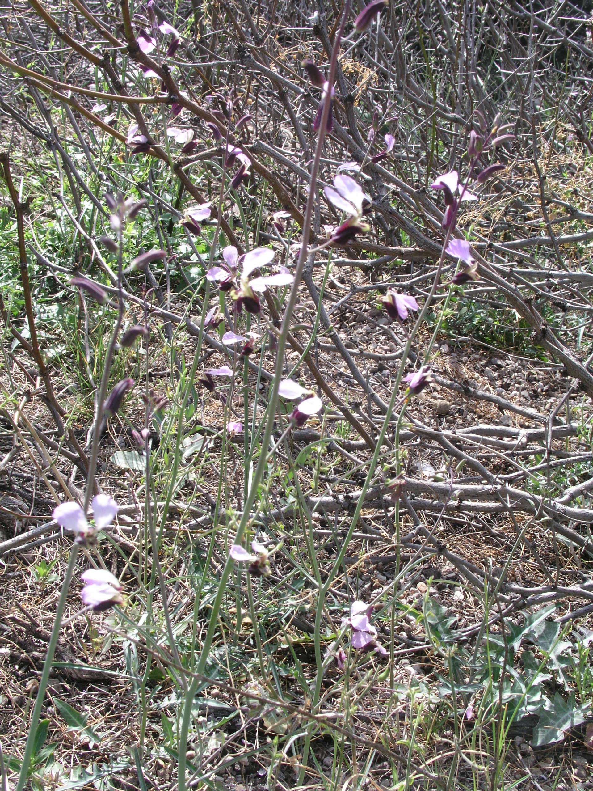
This is the region where planning matters most. Fuel, water, heat, cell coverage and drive time can all become practical concerns. In return, Big Bend Country offers the strongest sense of remoteness in Texas, along with exceptional hiking, geology, desert ecology and dark-sky viewing.
- Landscape: Chihuahuan Desert, mountain basins, canyons and high desert.
- Anchor places: Big Bend National Park, Alpine, Marfa, Fort Davis and El Paso.
- Known for: dark skies, desert hiking, scenic highways, borderlands history and distance.
2. Gulf Coast
The Gulf Coast follows Texas's relationship with the Gulf of Mexico. Beaches are part of it, but the region is broader: barrier islands, bays, marshes, estuaries, working ports, industrial waterways, fishing communities and coastal cities all belong to the story.
Houston and Galveston anchor the upper coast. Farther south, the Coastal Bend includes Corpus Christi, Rockport and Port Aransas. The lower coast eventually approaches the Rio Grande Valley, where TexasDefined's Gulf Coast and South Texas Plains identities overlap. That overlap is intentional: Brownsville can be understood as both a border city and a coastal city depending on the question being asked.
Weather and water define daily life here. Hurricanes, tropical rainfall, storm surge, salt air and flooding influence architecture, infrastructure and travel planning. The coast is also one of North America's great migration corridors, making wildlife refuges and coastal woodlots especially important for birding.
- Landscape: beaches, bays, marshes, coastal prairie and barrier islands.
- Anchor places: Houston, Galveston, Beaumont, Corpus Christi and Port Aransas.
- Known for: seafood, fishing, birding, beaches, ports and maritime history.
3. Hill Country
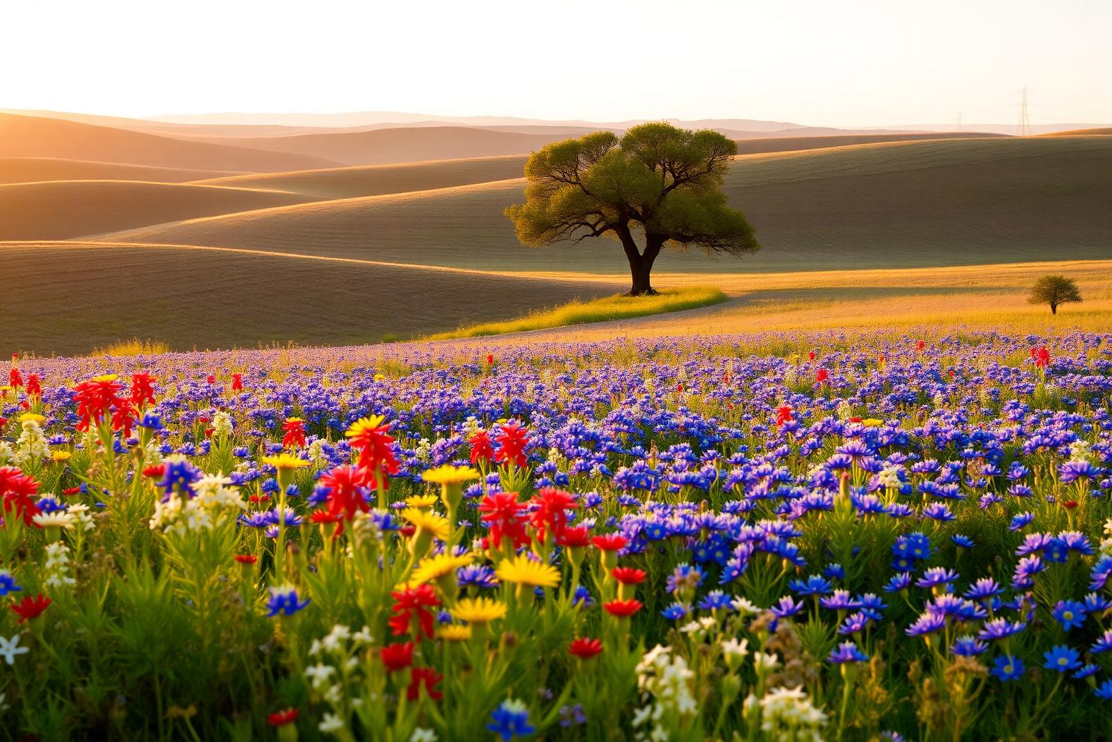
The Hill Country is the Central Texas landscape of limestone hills, clear rivers, spring-fed swimming holes, live oaks, ranch roads and small towns. It sits broadly west of Austin and north and west of San Antonio, with edges that fade into neighboring regions rather than stopping at a county line.
Fredericksburg, Kerrville, Wimberley, Johnson City, Blanco and Bandera are familiar anchors, but water is as important as any town. The Guadalupe, Frio, Blanco and other rivers create swimming, paddling and camping corridors, while springs and limestone geology shape both settlement and recreation.
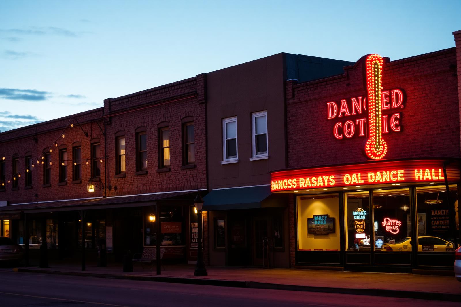
German, Czech, Mexican, Tejano and ranching traditions all contribute to the region's identity. Today wineries, destination restaurants and fast-growing communities sit beside old dance halls, ranch gates and historic courthouse towns. That mix is one reason 'Hill Country' has become one of the strongest regional identities in Texas.
- Landscape: limestone hills, springs, rivers, live oak and cedar country.
- Anchor places: Fredericksburg, Kerrville, Wimberley, Johnson City and Bandera.
- Known for: swimming holes, scenic drives, wildflowers, wineries, state parks and small towns.
4. Panhandle Plains
Panhandle Plains combines the Texas Panhandle with the High Plains and Llano Estacado landscapes around it. The region is defined by elevation, open sky, agriculture, ranching, wind and long horizons — until the table-flat land suddenly falls away into canyon country.
Amarillo is the best-known northern anchor and Lubbock anchors the southern High Plains. Palo Duro Canyon and Caprock Canyons show what lies beneath the plains, while Route 66 history, ranch culture, grain elevators and cotton country explain much of the human landscape.
Weather is impossible to ignore. The region can be colder, windier and more exposed than visitors expecting a uniformly hot Texas may imagine. Its openness is precisely what makes it distinctive: the sky often feels like the largest object in the landscape.
- Landscape: High Plains, caprock escarpments, canyon systems and open ranch country.
- Anchor places: Amarillo, Lubbock, Canyon, Palo Duro Canyon and Caprock Canyons.
- Known for: ranching, agriculture, Route 66, canyon hiking, wind and enormous sunsets.
5. Piney Woods
The Piney Woods are the forested East Texas region that most quickly challenges the stereotype that Texas is all dry open range. Tall pine forests, hardwood bottoms, bayous, wetlands and large lakes create a greener and more humid landscape tied ecologically and culturally to the broader American South.
Tyler, Longview, Nacogdoches, Lufkin and Marshall are important regional cities and towns. Caddo Lake is the most visually unusual landmark, with bald cypress and Spanish moss, but national forests, reservoirs, timber communities and historic downtowns make the region much larger than one lake.
East Texas foodways, timber history, African American history and proximity to Louisiana all shape the Piney Woods. The region is particularly strong for paddling, fishing, forest camping and travelers looking for older towns away from the state's largest metro corridors.
- Landscape: pine forest, hardwood bottoms, bayous, wetlands and lakes.
- Anchor places: Tyler, Longview, Nacogdoches, Lufkin and Caddo Lake.
- Known for: forests, paddling, fishing, timber history and historic East Texas towns.
6. Prairies & Lakes
Prairies & Lakes is TexasDefined's broad North and North-Central Texas interior between the Piney Woods and the western plains. Blackland Prairie, rolling countryside, reservoirs, historic county seats and rapid metropolitan growth all meet here.
Dallas–Fort Worth dominates the population map, but the region is not simply a metro label. Denton, Waco, Sherman, Granbury and scores of smaller towns sit among prairie remnants, ranchland and lake systems. Many of the 'lakes' central to modern North Texas life are reservoirs built for water supply, flood control and recreation.
The region is an especially useful example of old and new Texas occupying the same ground. Courthouse squares and agricultural landscapes can sit only a short drive from some of the fastest-growing suburbs in the country.
- Landscape: Blackland Prairie, rolling grassland, reservoirs and river corridors.
- Anchor places: Dallas, Fort Worth, Denton, Waco and major North Texas lakes.
- Known for: lake recreation, museums, sports, historic downtowns and metropolitan Texas.
7. South Texas Plains
South Texas Plains is TexasDefined's region of brush country, ranchlands, border communities and the Rio Grande Valley. It stretches south from the San Antonio sphere toward Laredo, McAllen, Edinburg and Brownsville, becoming hotter, flatter and increasingly subtropical toward the lower Rio Grande.
Mesquite, thorn scrub and ranch country dominate much of the interior. In the Valley, irrigation, citrus, palms and extraordinary bird diversity create a landscape that can feel very different from the rest of Texas. Mexican American and Tejano culture is foundational across the region, visible in language, food, music, ranching and family histories.
The Gulf-facing edge overlaps with the Gulf Coast region. That is not a flaw in the system. A place can participate in more than one geographic story even when TexasDefined assigns it one primary region for navigation.
- Landscape: thorn scrub, mesquite, ranchlands, Rio Grande floodplain and subtropical Valley.
- Anchor places: Laredo, McAllen, Edinburg, Brownsville and Kingsville.
- Known for: border culture, ranch history, birding, wildlife, tacos and the Rio Grande Valley.
How TexasDefined uses the seven regions
The seven-region model is an editorial and discovery system. TexasDefined uses the same region IDs across destination records, Explore navigation and regional landing pages so a park, lake, town, historic site, event or travel guide can participate in one consistent geographic structure.
The boundaries are deliberately practical rather than administrative. Counties do not always line up neatly with physical geography or cultural identity, and metropolitan areas can straddle regional transitions. When a place sits near an edge, TexasDefined assigns the primary region that best matches its landscape, travel patterns and surrounding destinations while acknowledging meaningful overlaps in the editorial copy.
The stable region names are Big Bend Country, Gulf Coast, Hill Country, Panhandle Plains, Piney Woods, Prairies & Lakes and South Texas Plains. Those names are the common vocabulary TexasDefined will use across statewide discovery going forward.
What about West Texas, Central Texas and the Rio Grande Valley?
They still matter. A seven-region taxonomy does not erase the regional names Texans actually use. 'West Texas' is a powerful cultural term that can include the Permian Basin, Trans-Pecos and other areas depending on who is speaking. 'Central Texas' can describe Austin, Waco, the Hill Country edge and surrounding counties. The Rio Grande Valley is a distinct subregion with an identity far stronger than a simple compass direction.
TexasDefined treats those names as subregions, cultural regions or useful aliases rather than forcing every familiar term to become a top-level navigation region. That keeps the statewide structure understandable without pretending Texas has only seven meaningful geographic identities.
Why the boundaries should stay a little fuzzy
Rainfall, geology, vegetation and elevation change gradually. So do food traditions, accents, architecture and settlement patterns. The Edwards Plateau does not stop because a county line appears. The coastal plain reaches inland. East Texas forest thins into prairie. South Texas brush country blends toward the coast.
A useful regional map should explain those patterns, not create false precision. TexasDefined's seven regions are best read as broad organizing areas with transition zones between them.
Choose a region by the trip you want
- For desert hiking, mountain scenery and dark skies: Big Bend Country.
- For beaches, bays, fishing and coastal birding: Gulf Coast.
- For swimming holes, scenic drives and small towns: Hill Country.
- For canyon scenery, High Plains and Route 66 history: Panhandle Plains.
- For forests, paddling and quiet lake country: Piney Woods.
- For reservoirs, museums, sports and North Texas city weekends: Prairies & Lakes.
- For border culture, ranch country and Rio Grande Valley birding: South Texas Plains.
One state, seven useful starting points
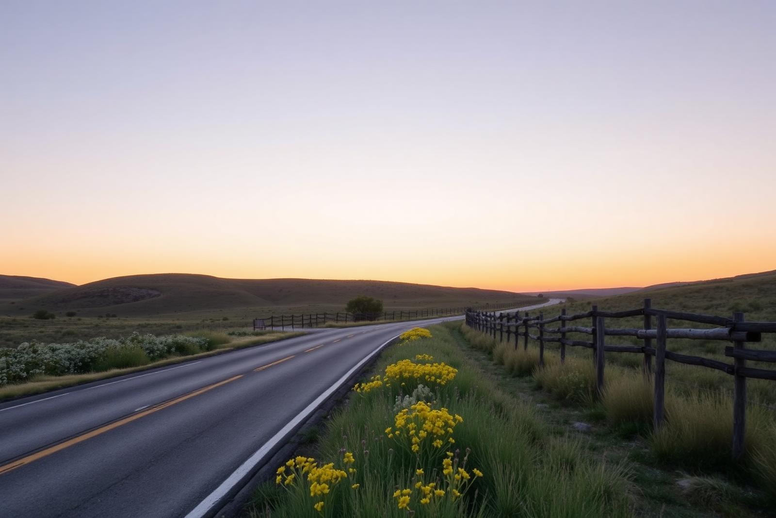
The point of defining regions is not to divide Texas into rigid boxes. It is to make the scale of the state understandable. The Gulf Coast lives with saltwater and storms. Big Bend Country is shaped by desert and distance. The Hill Country follows limestone and springs. The Panhandle Plains open to wind and sky. The Piney Woods belong to forest and water. Prairies & Lakes mixes grassland, reservoirs and metropolitan growth. South Texas Plains carries brush country and border culture toward the Rio Grande.
Together, the seven regions give TexasDefined a consistent way to organize a state that is too large and varied to explain as one landscape. They are starting points — and the roads between them are where Texas becomes most interesting.
Image credit: National Park Service / Wikimedia Commons
Filed under
- texas regions
- seven texas regions
- texas geography
- big bend country
- gulf coast
- hill country
- panhandle plains
- piney woods
- prairies and lakes
- south texas plains
- texas travel
From the magazine
More stories to read next
The Texas Guidebook
Texas by Season: A Practical Bucket List for Spring, Summer, Fall and Winter
August 20, 2026 · About 14 minutes
The Texas Guidebook
20 First-Time Texas Travel Mistakes—and How to Avoid Them
August 20, 2026 · About 16 minutes
The Texas Guidebook
21 Texas Traditions You Should Experience at Least Once
August 20, 2026 · About 16 minutes