Texas Explained
The Colorado River Explained: The Texas River That Runs Through Austin
Texas' Colorado River begins far west of Austin and runs entirely within the state to Matagorda Bay. Its long, relatively dry basin and chain of reservoirs show why river length and water yield are not the same thing.
Texas has its own Colorado River, separate from the Colorado River that carved the Grand Canyon. The Texas Colorado rises in West Texas, runs through the center of the state and eventually reaches Matagorda Bay and the Gulf. It is one of the clearest examples of how a river can be extremely long without producing an equally large volume of water.
A long river across a relatively dry basin
TWDB describes the Colorado Basin as the third largest river basin by area within Texas. The Colorado is the second-longest river in the state, yet only sixth in average annual flow volume. A large portion of its watershed lies in relatively arid parts of Texas, so the basin produces less runoff per unit of land than wetter river systems farther east.
That contrast is useful: a river's length does not tell you how much water it carries. Rainfall, evaporation, soils, vegetation, geology and the timing of storms all help determine how much water a basin actually yields.
The tributaries explain the Hill Country connection
The Colorado's tributary network includes the Concho, Llano, Pedernales and San Saba rivers as well as Pecan Bayou and many creeks. Those tributaries connect landscapes that can feel unrelated when you drive across them. The Pedernales and Llano are associated with the Hill Country; the main Colorado reaches Austin and then continues toward the Coastal Plain.
The reservoir chain is part of the river's modern identity
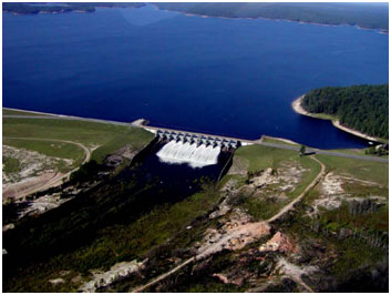
TWDB lists Lake Buchanan, Inks Lake, Lake LBJ, Lake Marble Falls, Lake Travis, Lake Austin and Lady Bird Lake among the reservoirs in the Colorado basin, along with many others farther upstream and downstream. Around Central Texas, that sequence makes it easy to forget that these named lakes are pieces of a river system.
Reservoirs store water, support recreation and help manage supply, but they also mean the Colorado is heavily managed. TWDB identifies balancing human water demands and environmental needs as an important issue in the basin.
Why Austin looks like a river-and-reservoir city
In Austin, the Colorado is visible as a broad urban water corridor, but the water arriving there is the product of an enormous upstream basin. The lakes above the city are not isolated attractions; they are connected storage on the same river. Downstream, the Colorado continues through a very different landscape before reaching Matagorda Bay.
What this river teaches about Texas water
- Long rivers can have relatively modest average flow when much of the watershed is dry.
- Tributaries connect West Texas, the Hill Country, Austin and the Coastal Plain inside one basin.
- Named lakes can be sequential reservoirs on a single river system.
- Urban water, recreation and environmental flows all depend on the same connected watershed.
- The basin changes character dramatically from its western headwaters to the Gulf Coast.
The Colorado is a map of Central Texas water
Following the Texas Colorado from west to east explains a surprising amount about the state. The river links dry interior country to spring-fed tributaries, a reservoir chain, one of Texas' largest cities and finally a coastal bay. It is a river where geography and infrastructure are almost impossible to separate—and that is exactly why it belongs at the center of any explanation of Texas water.
Primary source: Texas Water Development Board ↗
Filed under
- Colorado River Texas
- Colorado River basin
- Highland Lakes
- Texas rivers
- Austin water
- TWDB
Plan the trip
Places connected to this story
Destinations explicitly tied to this article in the Texas Defined guide.
Johnson City · Blanco County
Pedernales Falls State Park
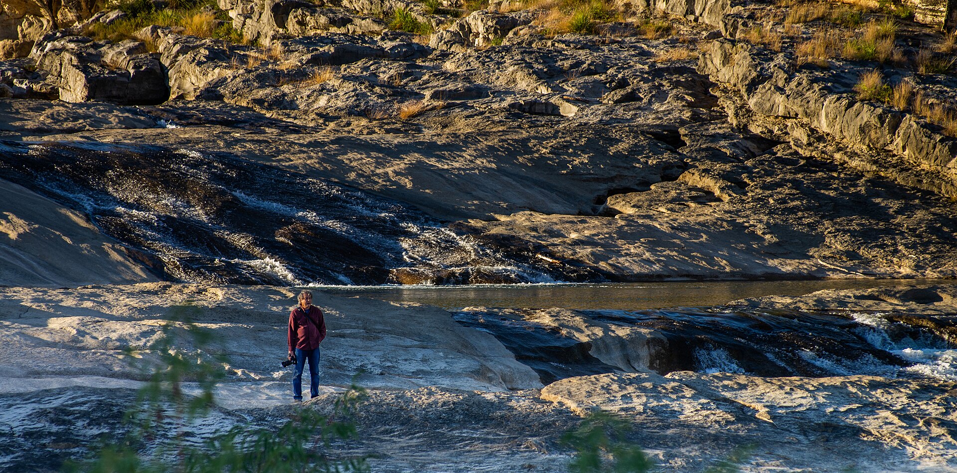
Thirty miles west of Austin, the Pedernales River pours across broad shelves of Hill Country limestone, creating a dramatic falls area plus separate places for swimming, hiking, camping and river access.
Best season: Fall through spring for hiking; warm months are popular for swimming in designated river areas- Pedernales Falls overlook and limestone river terraces
- Designated swimming and tubing access away from the falls area
- Hill Country hiking and biking trails including Twin Falls Nature Trail
From the magazine
More stories to read next
Lakes & Rivers
The Blue Hole in East Texas: Jasper County's Brilliant Quarry Lake
September 7, 2026 · About 8 minutes
Lakes & Rivers
Toledo Bend Explained: Texas' Largest Reservoir and a Two-State Water Project
August 16, 2026 · About 9 minutes
Lakes & Rivers
Possum Kingdom Lake Explained: An Early Brazos River Multipurpose Reservoir
August 16, 2026 · About 9 minutes