Texas Explained
The Guadalupe River Explained: Springs, Canyon Lake and a Hill Country River
The Guadalupe begins in the Hill Country, receives important spring-fed tributaries and flows toward San Antonio Bay. Its basin makes the groundwater-surface-water connection unusually easy to see.
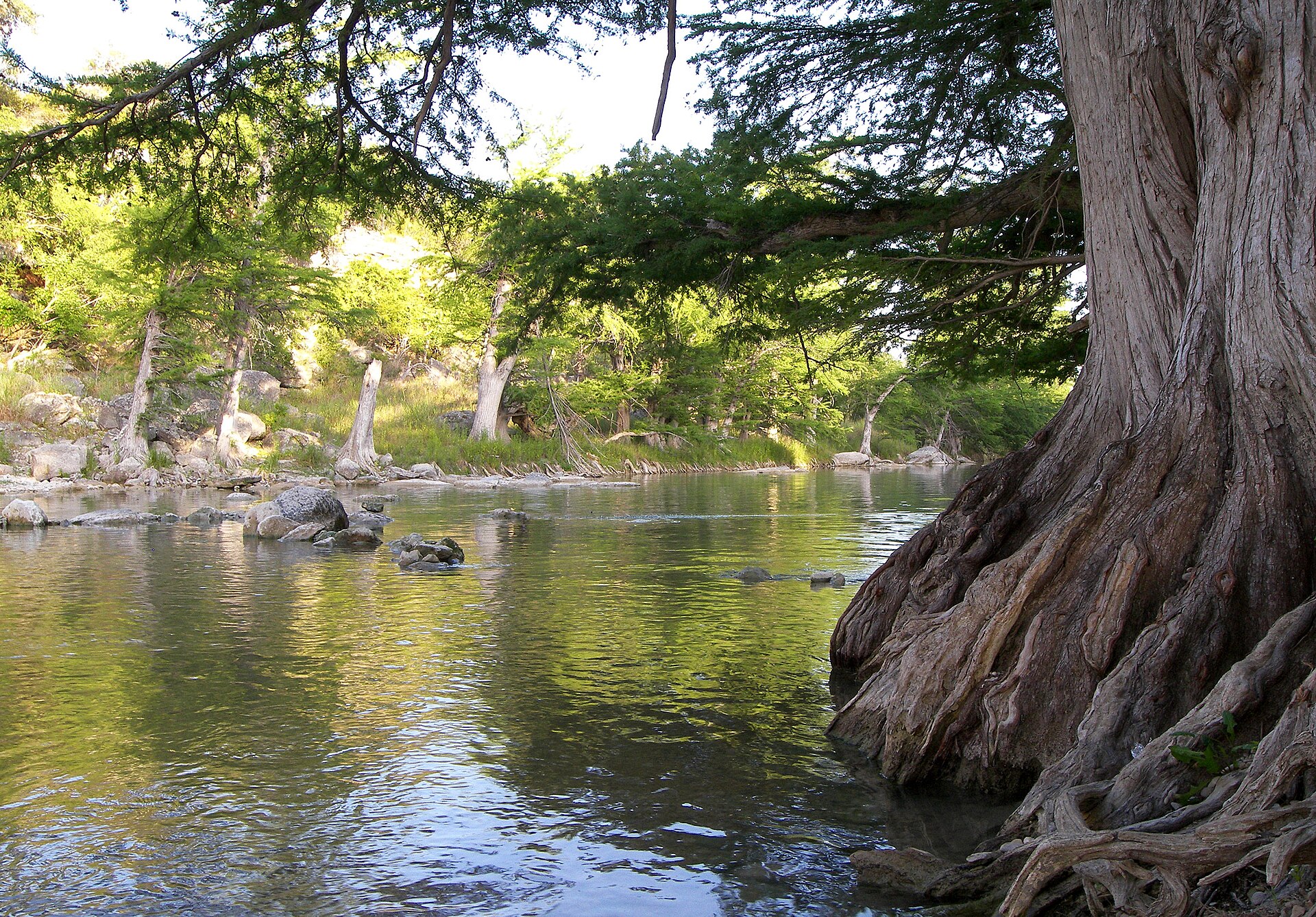
The Guadalupe is the river many Texans picture when they think about the Hill Country: clear water, limestone, cypress roots and recreation. But the basin is more complicated than a float trip. It connects spring-fed streams, aquifers, Canyon Lake, fast-growing communities and a river that ultimately leaves the hills and flows toward San Antonio Bay.
Where the Guadalupe begins and where it goes
TWDB traces the Guadalupe from the confluence of its North and South forks in Kerr County to San Antonio Bay. The basin is entirely within Texas. Important streams inside it include the Blanco, Comal and San Marcos rivers as well as Sandies and Coleto creeks.
That list matters because some of the best-known spring systems in Central Texas feed rivers inside the same basin. The Guadalupe is therefore a good place to see how groundwater can become surface water and how aquifer conditions can show up in river flow.
Groundwater and river flow are connected here
TWDB identifies overpumping of underlying aquifers as a major concern in the Guadalupe basin. Cities and irrigators have historically relied on groundwater, and because groundwater and surface water interact, heavy pumping can reduce base flows in the Guadalupe and tributaries.
Base flow is the portion of streamflow sustained between rain events, often by groundwater discharge. In a spring-influenced river system, that connection helps explain why river conditions cannot be understood from rainfall alone.
Canyon Lake changed the river's modern water system
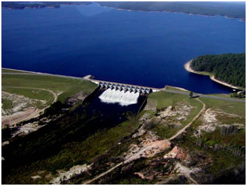
Canyon Lake sits on the Guadalupe northwest of New Braunfels. TWDB identifies the project as a U.S. Army Corps of Engineers reservoir used for flood control, hydropower, water supply and recreation. Downstream communities experience a river whose flow reflects both natural watershed conditions and managed reservoir releases.
The river changes as it leaves the Hill Country
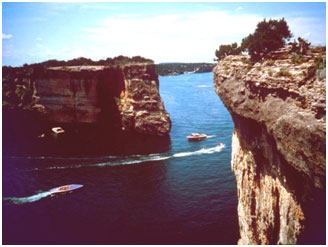
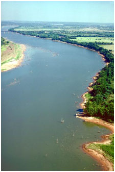
Upstream, limestone terrain and clear water dominate the popular image of the Guadalupe. Farther downstream, the river moves into lower, warmer country and becomes part of a larger coastal drainage system. The recreational Hill Country river and the lower-basin water-supply river are the same connected system.
Why public access matters
TPWD notes that Texas rivers provide recreation to millions of people and maintains paddling trails and leased-access programs in multiple basins. Guadalupe River State Park adds a major public access point with river frontage for swimming, paddling, fishing and other uses. Access is not the same everywhere along a Texas river, so public parks and designated access sites matter.
What the Guadalupe teaches
- A river can be strongly influenced by groundwater as well as direct runoff.
- Spring-fed tributaries make aquifer conditions visible at the surface.
- A major reservoir can reshape flood control, water supply and downstream flow management.
- The familiar Hill Country reach is only one part of a basin that continues toward the coast.
- Recreation, municipal supply and ecosystem needs all depend on the same connected water system.
A small basin with an outsized Texas identity
The Guadalupe basin is much smaller than the Brazos, Colorado or Rio Grande basins, but it concentrates many of the water questions Texans care about: springs, aquifer pumping, reservoirs, public river access, flood risk and rapid growth. That makes it one of the most useful rivers for understanding how Texas water works at human scale.
Primary source: Texas Water Development Board ↗
Filed under
- Guadalupe River
- Guadalupe River basin
- Canyon Lake
- Texas Hill Country
- Texas springs
- TWDB
Plan the trip
Places connected to this story
Destinations explicitly tied to this article in the Texas Defined guide.
Spring Branch · Comal County
Guadalupe River State Park
Four miles of Guadalupe River frontage between San Antonio and the Hill Country, pairing cypress-lined swimming and paddling water with trails, camping and access to the protected Honey Creek landscape.
Best season: Late spring through early fall for river time; fall through spring for comfortable hiking- Four miles of Guadalupe River frontage
- Swimming, tubing, paddling and fishing when river conditions allow
- Hill Country trails through prairie, oak woodland and river corridor
From the magazine
More stories to read next
Lakes & Rivers
Toledo Bend Explained: Texas' Largest Reservoir and a Two-State Water Project
August 16, 2026 · About 9 minutes
Lakes & Rivers
Possum Kingdom Lake Explained: An Early Brazos River Multipurpose Reservoir
August 16, 2026 · About 9 minutes
Lakes & Rivers
Lake Whitney Explained: A Brazos River Reservoir Built for Multiple Jobs
August 16, 2026 · About 9 minutes