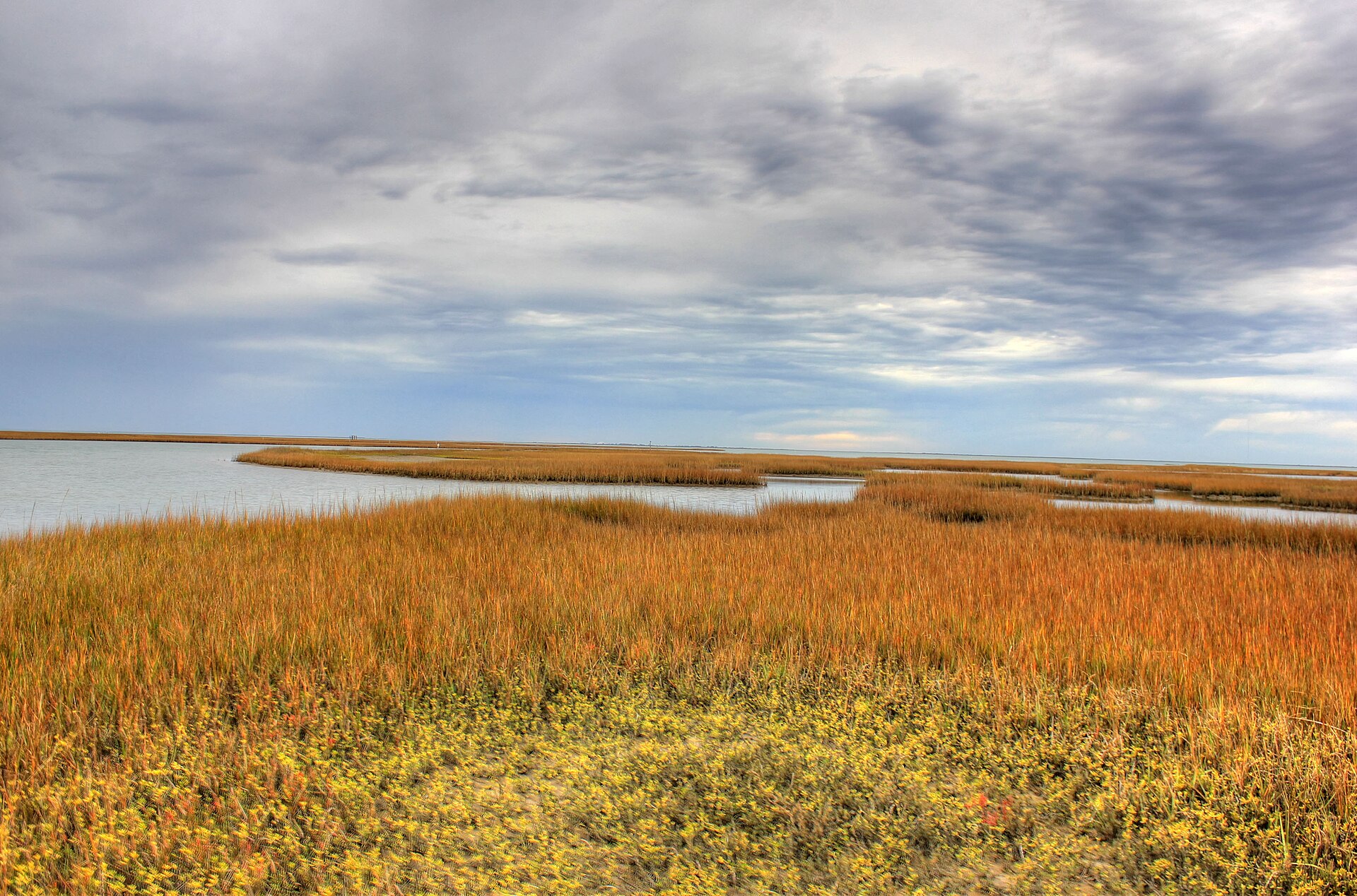
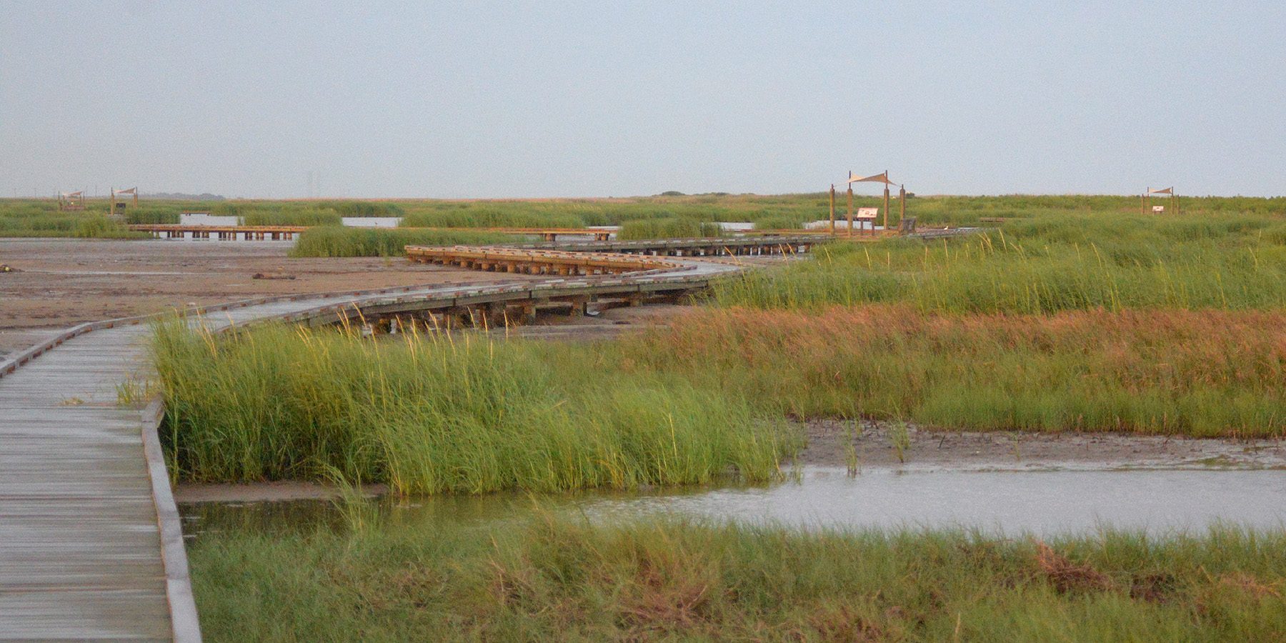
A narrow, erosion-sensitive Gulf shoreline at Sargent where the beach, coastal road and Matagorda County community meet a highly dynamic stretch of the middle Texas coast. TexasDefined treats Sargent Beach specifically as a open-Gulf beach in the Middle Gulf Coast, rather than collapsing it into a generic list of Texas beaches. That distinction affects what visitors should expect from the water, facilities, access and the amount of preparation a trip requires.
A major beach-stabilization and nourishment project began in 2026, so construction, access and shoreline conditions should be checked before visiting. Public access depends on current road, tide, construction, launch, weather or operational conditions, so a same-day check matters. Coastal conditions are unusually changeable: wind, tides, rip currents, sargassum, erosion, construction and storm recovery can alter a beach day even when the destination itself remains open. The managing source linked on this guide is therefore part of the trip plan, not just background reading.
Sargent Beach is associated with Matagorda County and the nearest practical base is Sargent. That location places it within a larger network of Gulf beaches, bay shorelines, barrier islands, wetlands and fishing communities, so it works best when readers understand whether they are choosing open surf, protected bay water, habitat exploration, beach driving or a managed park experience.
For a first visit, use the mapped point on this page as the representative public arrival or observation area, then follow posted signs and current agency guidance once on site. TexasDefined reviewed the destination source and coordinate evidence on 2026-09-06; the source date is shown so readers can distinguish researched planning guidance from timeless descriptive copy.






.jpg%3Fwidth%3D1600)