Skip to content
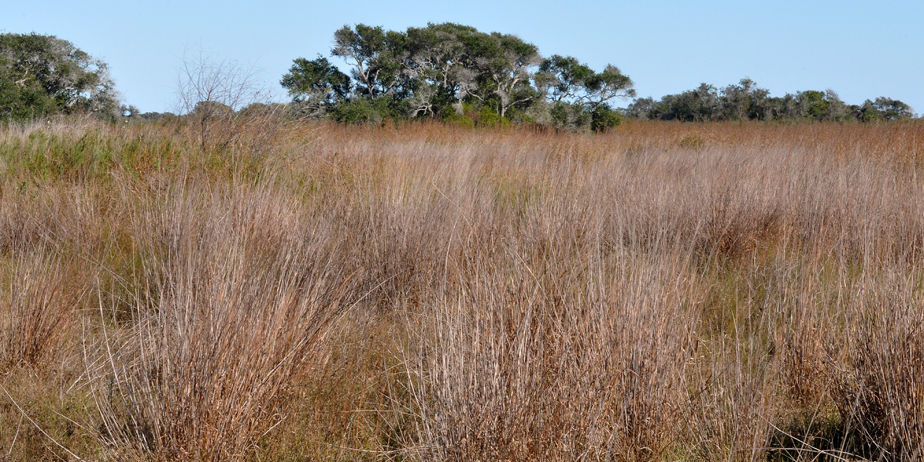
Sand dunes and coastal vegetation at Padre Island National Seashore

Gulf Coast · Beaches & Coast

Padre Island National Seashore

A long protected barrier-island coastline south of Corpus Christi where undeveloped Gulf beaches, dunes, tidal flats, sea-turtle conservation, bird migration and miles of beach driving preserve a much wilder Texas coast than the resort districts nearby.

Photography: National Park Service · Public domain · Wikimedia Commons

Plan the visit

Padre Island National Seashore at a glance

Where is Padre Island National Seashore?
Padre Island National Seashore is near Corpus Christi, Texas, in Nueces County.
When is the best time to visit Padre Island National Seashore?
Fall through spring for mild beach weather and birding; summer brings heat, humidity and storm risk but also seasonal sea-turtle activity, so conditions should guide every visit
Do I need to plan ahead for Padre Island National Seashore?
An entrance pass is required, but no general entry reservation is needed. Camping is first-come, first-served and has limited services. Driving south on the beach becomes increasingly remote; four-wheel drive may be necessary depending on distance and conditions, so check tides, weather and beach-driving advisories first.
Who manages Padre Island National Seashore?
National Park Service

The place

Why Padre Island National Seashore belongs on the list

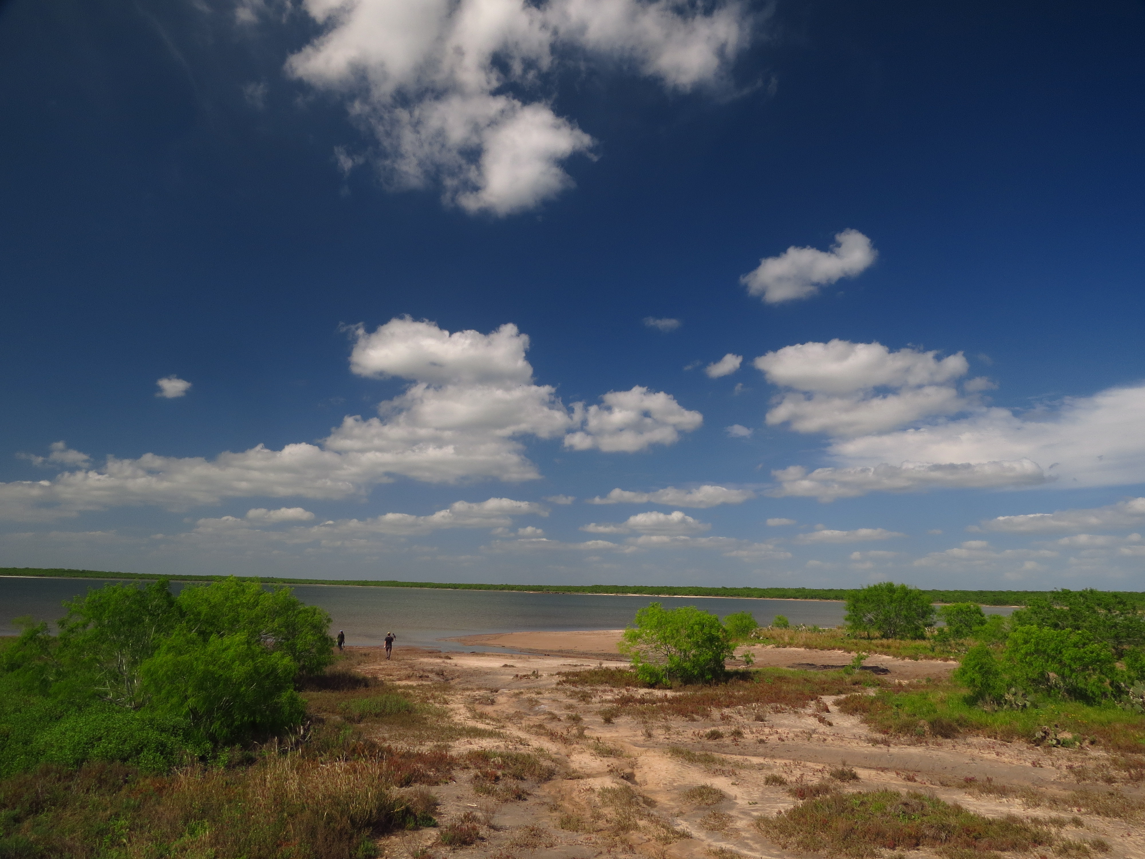
Padre Island National Seashore protects a long stretch of barrier island where the Texas coast still feels genuinely wild. Unlike the developed resort areas farther north, the seashore is dominated by dunes, open Gulf beach, tidal flats and hypersaline Laguna Madre habitat. That undeveloped scale is the reason to come, whether the plan is a few hours at Malaquite Beach or a remote drive far down-island.

Malaquite Visitor Center is the sensible first stop. It provides current conditions, beach access, ranger information and orientation before visitors decide how far south to travel. The developed area also gives families and travelers with mobility needs a more manageable introduction to the seashore before the road transitions onto open beach.

Beach driving is one of Padre Island's defining experiences and one of its biggest planning responsibilities. South Beach continues for dozens of miles, but conditions change with tides, storms, soft sand and traffic. The farther a vehicle travels, the less forgiving a breakdown becomes. Carry recovery equipment, water, food and a realistic fuel margin, and do not treat a two-wheel-drive vehicle as a guarantee of access simply because the first miles look easy.

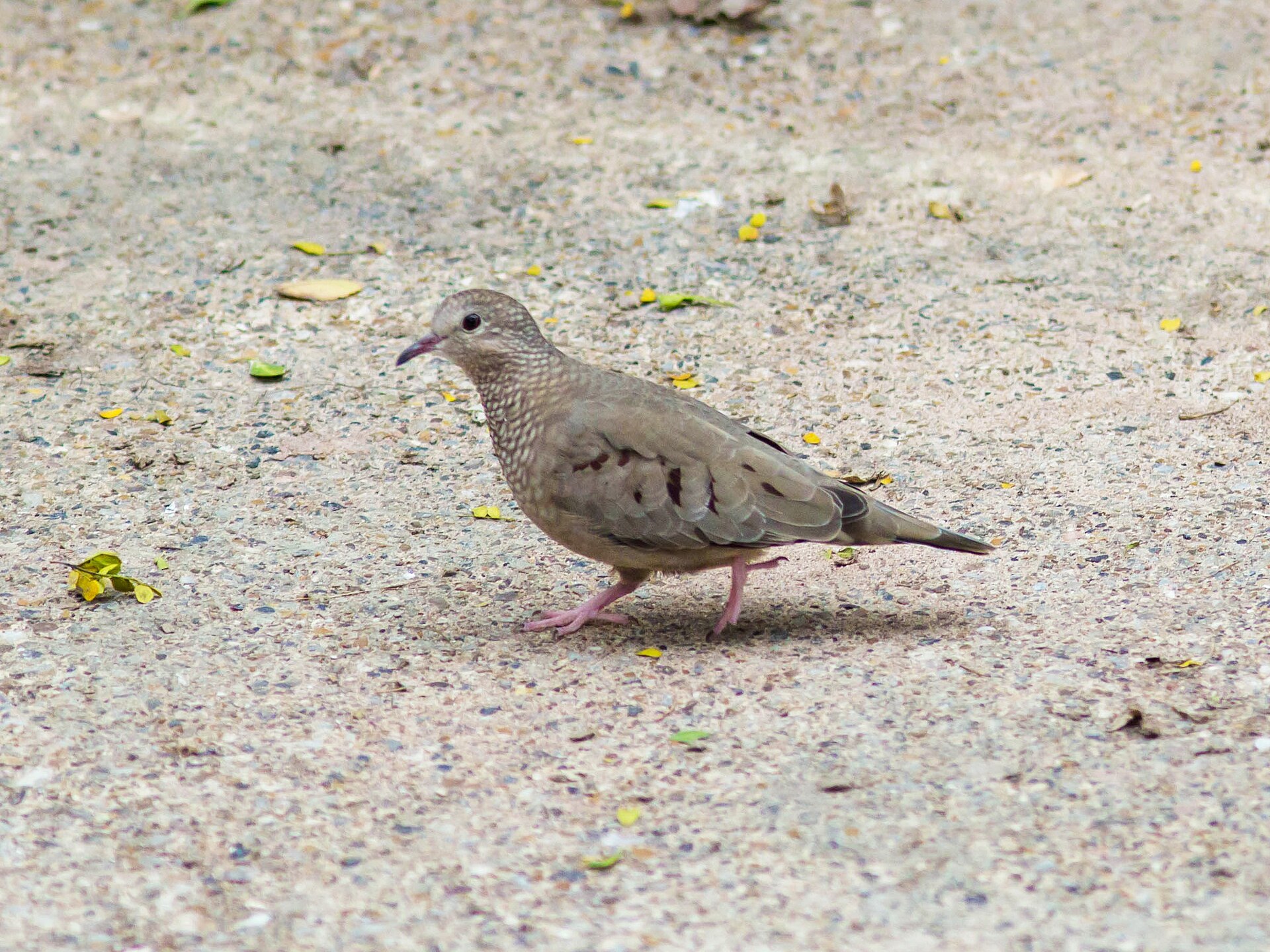
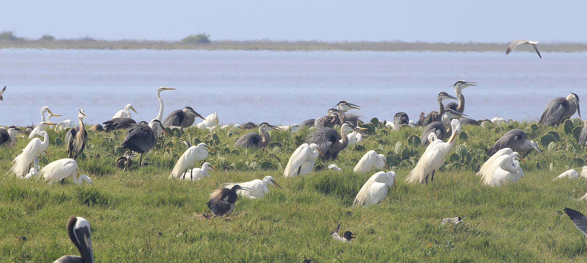
Wildlife gives the seashore another identity. Padre Island is internationally important for birds moving along the Gulf, and the park's Kemp's ridley sea-turtle recovery work has made seasonal hatchling releases one of the best-known conservation experiences on the Texas coast. Wildlife programs are never guaranteed on a given date, so visitors should follow current park announcements rather than building an entire trip around an expected release.

Camping is intentionally simple. Developed and primitive camp areas provide access to the coast, but reservations are not the organizing system used here and services become minimal away from Malaquite. Wind, salt, insects and sudden Gulf weather can turn an easy beach night into a demanding one, so preparation matters even when the campsite is close to the water.

The seashore pairs naturally with Corpus Christi and the rest of the Coastal Bend. North Padre Island has restaurants and lodging just outside the park, Mustang Island and Port Aransas extend the beach trip north, and Downtown Corpus Christi adds the Texas State Aquarium and USS Lexington. That lets travelers combine a protected natural coastline with classic family attractions without giving up the wilder beach experience.

The details

Plan the visit

Nearest town
Near Corpus Christi, Texas
Best season
Fall through spring for mild beach weather and birding; summer brings heat, humidity and storm risk but also seasonal sea-turtle activity, so conditions should guide every visit
Address
20420 Park Road 22, Corpus Christi, TX 78418
Entry & reservations
An entrance pass is required, but no general entry reservation is needed. Camping is first-come, first-served and has limited services. Driving south on the beach becomes increasingly remote; four-wheel drive may be necessary depending on distance and conditions, so check tides, weather and beach-driving advisories first.
Accessibility
Malaquite Visitor Center and its main facilities are accessible, with an accessible route toward the beach. The park has beach wheelchairs and walkers available for visitor use, and the Grasslands Nature Trail provides an accessible nature option. Primitive beach areas are much less predictable for mobility access.
Getting there
The seashore entrance is at the south end of North Padre Island via Park Road 22. There is no public transit to the park. Once pavement ends on South Beach, travel is directly on sand; check current beach conditions and know your vehicle's limits before continuing far down-island.

Tours & bookable experiences

Add an experience around Padre Island National Seashore

TexasDefined handles the destination planning. Viator can be useful for guided tours, tickets and organized activities near Corpus Christi. Availability changes, so the booking link checks current inventory rather than promising a specific product.

Affiliate disclosure: TexasDefined may earn a commission from qualifying Viator bookings, at no additional cost to you.

Quick answer

Planning a visit to Padre Island National Seashore

What is Padre Island National Seashore?
A long protected barrier-island coastline south of Corpus Christi where undeveloped Gulf beaches, dunes, tidal flats, sea-turtle conservation, bird migration and miles of beach driving preserve a much wilder Texas coast than the resort districts nearby.
When is the best time to go?
Fall through spring for mild beach weather and birding; summer brings heat, humidity and storm risk but also seasonal sea-turtle activity, so conditions should guide every visit
What should I know before arriving?
An entrance pass is required, but no general entry reservation is needed. Camping is first-come, first-served and has limited services. Driving south on the beach becomes increasingly remote; four-wheel drive may be necessary depending on distance and conditions, so check tides, weather and beach-driving advisories first.
Where is it?
Near Corpus Christi, Texas, in Nueces County.

Field notes

What to know before you go

Conditions, closures, fees and availability can change. Use these notes to plan, then confirm the latest details with the official site before making the drive.

Things to do

  • Birding along a globally important barrier-island migration corridor
  • South Beach driving and primitive camping for prepared visitors

What you’ll find

  • Malaquite Beach and Visitor Center

Don’t miss

  • Miles of undeveloped Gulf shoreline and dunes
  • Seasonal Kemp's ridley sea-turtle conservation programs

Good to know

  • Best time to go: Fall through spring for mild beach weather and birding; summer brings heat, humidity and storm risk but also seasonal sea-turtle activity, so conditions should guide every visit.
  • An entrance pass is required, but no general entry reservation is needed. Camping is first-come, first-served and has limited services. Driving south on the beach becomes increasingly remote; four-wheel drive may be necessary depending on distance and conditions, so check tides, weather and beach-driving advisories first.
  • Accessibility: Malaquite Visitor Center and its main facilities are accessible, with an accessible route toward the beach. The park has beach wheelchairs and walkers available for visitor use, and the Grasslands Nature Trail provides an accessible nature option. Primitive beach areas are much less predictable for mobility access.
  • Getting there: The seashore entrance is at the south end of North Padre Island via Park Road 22. There is no public transit to the park. Once pavement ends on South Beach, travel is directly on sand; check current beach conditions and know your vehicle's limits before continuing far down-island.

TexasDefined authority guide

Verified planning notes for Padre Island National Seashore

Operational facts are tied to official sources and a recorded review date. Supporting agency, institutional, conservation, science and historic-designation sources add context where useful. TexasDefined's planning assessment is editorial judgment—not a paid rating or a claim of an unrecorded personal visit.

Verified visitor information

What we checked

Reviewed August 17, 2026

Recommended visit
Half a day to a full day; longer for camping or remote beach travel
Managing authority
National Park Service[1]
Visitor address
20420 Park Road 22, Corpus Christi, TX 78418[1]
Entry / reservations
An entrance pass is required, but no general entry reservation is needed. Camping is first-come, first-served and has limited services. Driving south on the beach becomes increasingly remote; four-wheel drive may be necessary depending on distance and conditions, so check tides, weather and beach-driving advisories first.[1]
Evidence layer
3 distinct authority sources attached to this guide, including the controlling visitor source and supporting institutional context where available.

Editorial assessment

How to think about the visit

Physical effort
Moderate
Weather exposure
Fully outdoors
Advance planning
High
Family fit
Strong for beach and wildlife-focused families who prepare for sun, wind and changing coastal conditions
First-time Texas value
One of Texas's most important undeveloped Gulf Coast experiences

Why it matters to Texas

More than a photo stop

Padre Island National Seashore protects a long undeveloped barrier-island environment on the Gulf of Mexico, including beaches, dunes, hypersaline lagoon habitat and globally important sea-turtle conservation work.

Research & review: Texas Defined Editorial Desk. Operational details are checked against the linked controlling source; supporting sources deepen history, science, conservation or institutional context. Editorial assessments describe trip-planning value rather than a star rating. See the Top-25 methodology. Citation guidance.

Use the time you have

Three ways to visit

3 hours

Beach + visitor center

  1. 1Start with current conditions at the visitor center
  2. 2Walk the beach and dunes near developed access
  3. 3Watch for wildlife and shorebird activity

Full day

Coastal day

  1. 1Morning beach walk
  2. 2Explore both Gulf and Laguna Madre context
  3. 3Stay for late-day light and cooler temperatures

Full day or overnight

Remote-island plan

  1. 1Check tides, weather and driving conditions
  2. 2Travel only as far down-island as vehicle and conditions safely allow
  3. 3Carry recovery, water and communication supplies appropriate to remoteness

Before you go

Traveler questions, answered

How long should I allow for Padre Island National Seashore?
Half a day to a full day; longer for camping or remote beach travel
Do I need to plan ahead?
An entrance pass is required, but no general entry reservation is needed. Camping is first-come, first-served and has limited services. Driving south on the beach becomes increasingly remote; four-wheel drive may be necessary depending on distance and conditions, so check tides, weather and beach-driving advisories first.[1]
When is the best time to go?
Fall through spring for mild beach weather and birding; summer brings heat, humidity and storm risk but also seasonal sea-turtle activity, so conditions should guide every visit
What should I know about accessibility?
Malaquite Visitor Center and its main facilities are accessible, with an accessible route toward the beach. The park has beach wheelchairs and walkers available for visitor use, and the Grasslands Nature Trail provides an accessible nature option. Primitive beach areas are much less predictable for mobility access.
What should I pair with Padre Island National Seashore?
North Padre Island beaches (Just north of the seashore): Developed public beach areas and neighborhood services provide a more conventional beach-day option close to the park.
What is a worthwhile side trip?
Port Aransas (North on Mustang Island): Fishing, restaurants and beach-town culture make the strongest developed-island contrast to Padre Island National Seashore.

What's in the area

Build a fuller trip around Padre Island National Seashore

Padre Island National Seashore sits at the wild southern end of the Corpus Christi barrier-island corridor. North Padre provides the closest services, while Mustang Island, Port Aransas and Downtown Corpus Christi let travelers add family attractions, restaurants and developed beach-town experiences around the protected shoreline.

Nearby

Attractions close by

Easy additions that fit naturally around the main stop.

  • Just north of the seashore

    North Padre Island beaches

    Developed public beach areas and neighborhood services provide a more conventional beach-day option close to the park.

  • About 25 miles north

    Mustang Island State Park

    Camping, paddling and Gulf beach access create a state-park companion to the national seashore.

  • North Padre Island

    Packery Channel

    Jetties, fishing and Gulf views give visitors another coastal access point between the seashore and Corpus Christi.

  • Corpus Christi

    Oso Bay Wetlands Preserve

    Trails and wetland interpretation add a mainland birding and family-nature stop before or after the island.

Eat nearby

Where to eat and drink

Dining districts and food areas worth building into the same outing.

  • Closest dining area

    North Padre Island

    Casual seafood, tacos and beach-oriented restaurants are the easiest meal stop outside park boundaries.

  • Across the JFK Causeway

    Flour Bluff

    A larger mainland concentration of everyday restaurants and groceries is useful for resupply before entering the seashore.

  • About 25 miles north-west

    Downtown Corpus Christi

    Waterfront restaurants and a broader food scene pair well with museums, the aquarium and bayfront attractions.

  • Farther north on Mustang Island

    Port Aransas

    Seafood, bars and beach-town dining make Port Aransas a destination meal area on a longer Coastal Bend trip.

Stay nearby

Where to stay

The most practical lodging areas for minimizing driving and maximizing time on the ground.

  • Closest base

    North Padre Island

    Vacation rentals, condos and hotels keep visitors near the seashore entrance while preserving easy access to restaurants.

  • About 20–30 miles away

    Corpus Christi

    The broadest hotel selection is useful for families combining the national seashore with city attractions.

  • North on Mustang Island

    Port Aransas

    A classic beach-town base works well for a multi-day island trip that includes both developed and protected coastline.

  • Inside the seashore

    Park camping

    First-come camp areas put visitors on the coast itself, but services are limited and weather preparation is essential.

Explore more

Neighborhoods and districts

Nearby parts of the city that add character, shopping, history or nightlife.

  • Immediately north

    North Padre Island / Padre Isles

    Canals, beach neighborhoods and visitor services form the developed gateway to the national seashore.

  • Mainland side of the causeway

    Flour Bluff

    A practical Corpus Christi district for groceries, fuel and everyday services before island travel.

  • Bayfront

    Downtown Corpus Christi

    Museums, the marina and family attractions create the urban side of a Coastal Bend itinerary.

  • North on Mustang Island

    Port Aransas

    A walkable beach-town center adds shops, restaurants, fishing culture and a livelier evening scene.

With kids

Family-friendly stops

Good nearby additions when the itinerary includes younger travelers.

  • Inside the park

    Malaquite Visitor Center and beach

    Ranger information, an accessible developed area and immediate Gulf access make this the best first family stop.

  • Downtown Corpus Christi

    Texas State Aquarium

    Marine-life exhibits and conservation programs provide a major indoor family attraction tied directly to the Gulf.

  • Corpus Christi bayfront

    USS Lexington

    The preserved aircraft carrier adds naval and aviation history beside the aquarium.

  • North of the seashore

    Mustang Island State Park

    A more developed state-park beach day can complement the national seashore's remote feel.

Go farther

Worthwhile side trips

Places that justify extending the visit beyond the immediate area.

  • North on Mustang Island

    Port Aransas

    Fishing, restaurants and beach-town culture make the strongest developed-island contrast to Padre Island National Seashore.

  • About 25 miles north

    Mustang Island State Park

    Add paddling, camping and another Gulf beach landscape without leaving the barrier-island route.

  • About 25 miles north-west

    Corpus Christi bayfront

    The aquarium, USS Lexington, museums and waterfront parks can fill a separate city day.

  • Farther north in the Coastal Bend

    Rockport and Fulton

    Art, bays, birding and fishing communities provide a quieter coastal extension for travelers continuing beyond Corpus Christi.

Build the trip

Places that pair well with this stop

Nearby places, worthwhile detours and combinations for adding water, history, outdoors or a full weekend around this destination.

Close enough for the same trip

Nearby places

Places ordered by straight-line distance when reliable coordinates are available.

  • Corpus Christi · Nueces County

    Padre Island National Seashore Backcountry / South Beach

    The long undeveloped South Beach and down-island Gulf shoreline of Padre Island National Seashore, where remote beach driving, primitive camping and exceptional barrier-island solitude replace developed amenities.

    Best season: October through May for milder weather; summer works for beach days with heat, storms and surf conditions checked closelyUpdated Sep 2026
    • National-seashore coastline
    • Padre Island & South Texas setting
    • Corpus Christi access
    Explore this place

    Approx. 1 miles away

  • Corpus Christi · Nueces County

    Malaquite Beach

    The vehicle-free beach beside Malaquite Visitor Center in Padre Island National Seashore, offering a quieter developed access point with parking, restrooms and showers.

    Best season: October through May for milder weather; summer works for beach days with heat, storms and surf conditions checked closelyUpdated Sep 2026
    • National-seashore coastline
    • Padre Island & South Texas setting
    • Corpus Christi access
    Explore this place

    Approx. 2 miles away

  • Corpus Christi · Nueces County

    Whitecap Beach

    A North Padre Island Gulf beach at the end of Whitecap Boulevard with both pedestrian-only shoreline and vehicle-access areas near the Corpus Christi beach corridor.

    Best season: October through May for milder weather; summer works for beach days with heat, storms and surf conditions checked closelyUpdated Sep 2026
    • Open-Gulf beach
    • Padre Island & South Texas setting
    • Corpus Christi access
    Explore this place

    Approx. 13 miles away

  • Corpus Christi · Kleberg County

    Yarborough Pass

    A remote primitive camping and small-boat access area on the Laguna Madre side of Padre Island National Seashore, reached from South Beach by a high-clearance four-wheel-drive route.

    Best season: October through May for milder weather; summer works for beach days with heat, storms and surf conditions checked closelyUpdated Sep 2026
    • Coastal shoreline and habitat area
    • Padre Island & South Texas setting
    • Corpus Christi access
    Explore this place

    Approx. 16 miles away

  • Corpus Christi · Nueces County · Gulf Coast

    Oso Bay Coast & Wetlands Preserve

    The shallow Oso Bay shoreline and wetland system on Corpus Christi's south side, important for habitat, birding, nature education and paddling rather than conventional beach swimming.

    Best season: Fall through spring for comfortable exploring and birding; summer requires more heat, storm and insect planningUpdated Sep 2026
    • Coastal shoreline and habitat area
    • Mustang Island & Corpus Christi Bay setting
    • Corpus Christi access
    Explore this place

    Approx. 17 miles away

  • Corpus Christi · Nueces County · Gulf Coast

    Cole Park Beach

    The Corpus Christi Bay waterfront at Cole Park, best understood as a major city park and bayfront promenade with shoreline access rather than a formal open-Gulf beach.

    Best season: Fall through spring for comfortable exploring and birding; summer requires more heat, storm and insect planningUpdated Sep 2026
    • Coastal shoreline and habitat area
    • Mustang Island & Corpus Christi Bay setting
    • Corpus Christi access
    Explore this place

    Approx. 25 miles away

Around Corpus Christi

More near the closest town

Other destinations connected to Corpus Christi.

  • Corpus Christi · Nueces County · Gulf Coast

    Texas State Aquarium

    Corpus Christi’s waterfront aquarium combines Gulf and Caribbean marine life, wildlife presentations, conservation education and a major coastal visitor experience beside North Beach.

    Best season: Year-round; summer pairs naturally with a Corpus Christi beach trip, while cooler months make North Beach easier to combine with outdoor stops.Updated Aug 2026
    • Gulf and Caribbean marine life
    • Dolphin and wildlife presentations
    • Conservation and education
    Explore this place

    Approx. 28 miles away

  • Corpus Christi · Nueces County · Gulf Coast

    McGee Beach

    A downtown Corpus Christi Bay beach on Shoreline Boulevard within walking distance of the marina, hotels, museums and convention-center district.

    Best season: March through May and September through November for milder beach weather; summer is busiest and hottestUpdated Sep 2026
    • Protected-bay beach
    • Mustang Island & Corpus Christi Bay setting
    • Corpus Christi access
    Explore this place

    Approx. 26 miles away

  • Corpus Christi · Nueces County · Gulf Coast

    USS Lexington Museum

    The World War II Essex-class aircraft carrier USS Lexington (CV-16), preserved on Corpus Christi's North Beach as a National Historic Landmark and aviation museum.

    Best season: Year-round. Summer offers longer museum hours but the flight deck can be hot; cooler fall through spring weather is usually more comfortable for outdoor decks.Updated Aug 2026
    • World War II aircraft carrier
    • Flight deck
    • Naval aviation
    Explore this place

    Approx. 28 miles away

Build a better day

Pair this stop with something different

Nearby parks, water, towns, history and outdoor places that complement this destination.

  • Rockport · Aransas County · Gulf Coast

    Rockport

    A small central-coast town on Aransas Bay with art, fishing, birding and a working waterfront, well positioned for Goose Island State Park and winter whooping-crane trips.

    Best season: Fall through spring for birding and mild weather; summer for coastal recreationUpdated Sep 2026
    • Aransas Bay
    • Rockport Center for the Arts
    • Fishing and birding
    Explore this place

    Approx. 44 miles away

  • Fulton · Aransas County · Gulf Coast

    Fulton Mansion State Historic Site

    The elaborate 1870s mansion overlooking Aransas Bay reflects the wealth, technology and ambitions of George and Harriet Fulton. It is an architectural centerpiece for a Rockport-Fulton trip and a window into affluent Gulf Coast life after the Civil War.

    Best season: Year-round; spring and fall are usually the most comfortable for outdoor portions of a visit.Updated Aug 2026
    • Victorian architecture
    • Gulf Coast history
    • 19th-century technology
    Explore this place

    Approx. 47 miles away

  • Austwell · Aransas and Refugio counties County · Gulf Coast

    Aransas National Wildlife Refuge

    A vast coastal refuge north of Rockport protecting marsh, oak woodland and tidal flats best known as the principal wintering ground of the endangered whooping crane.

    Best season: November through March for whooping cranes; spring and fall for migrationUpdated Sep 2026
    • Wintering whooping cranes
    • Coastal marsh and tidal flats
    • Birding and wildlife drives
    Explore this place

    Approx. 69 miles away

  • Los Fresnos · Cameron County

    Laguna Atascosa National Wildlife Refuge

    A Lower Rio Grande Valley refuge protecting thornscrub, coastal prairie, wetlands and Laguna Madre habitat used by ocelots, aplomado falcons and hundreds of bird species.

    Best season: Fall through spring for birding and comfortable wildlife viewingUpdated Sep 2026
    • Ocelot conservation habitat
    • Exceptional Lower Valley birding
    • Coastal prairie and thornscrub
    Explore this place

    Approx. 82 miles away

  • Goliad · Goliad County · Gulf Coast

    Presidio La Bahía

    A restored Spanish colonial presidio in Goliad associated with the Texas Revolution and the Goliad Massacre, with a chapel, museum and fortified courtyard overlooking the San Antonio River valley.

    Best season: Fall through spring for comfortable historic-site touringUpdated Aug 2026
    • Spanish colonial presidio
    • Our Lady of Loreto Chapel
    • Goliad Campaign history
    Explore this place

    Approx. 85 miles away

Add some Texas context

Historic stops nearby

Historic sites, small towns and road-trip stops that add context to the route.

  • Goliad · Goliad County · Gulf Coast

    Zaragoza Birthplace State Historic Site

    Ignacio Zaragoza was born in the Goliad area and later commanded Mexican forces in their 1862 victory over the French at Puebla, commemorated by Cinco de Mayo. The birthplace connects Texas borderlands history to a major event in Mexican national memory and adds another layer to a Goliad history trip.

    Best season: Year-round; spring and fall are usually the most comfortable for outdoor portions of a visit.Updated Aug 2026
    • Ignacio Zaragoza
    • Cinco de Mayo
    • Texas-Mexico history
    Explore this place

    Approx. 86 miles away

  • Goliad · Goliad County

    Goliad

    Goliad is a South Texas courthouse town on the San Antonio River where Spanish mission history, Presidio La Bahía, the 1836 Goliad campaign, historic downtown streets and nearby parkland create one of the state's most concentrated Texas Revolution destinations.

    Best season: Fall through spring for historic touring and river walks; summer visits work best with early outdoor stops and midday time in museums or shaded sitesUpdated Sep 2026
    • Presidio La Bahía
    • Mission Espíritu Santo
    • Goliad campaign history
    Explore this place

    Approx. 86 miles away

Keep the day outside

More outdoors nearby

Parks, caverns and outdoor destinations that pair naturally with this stop.

  • Alamo · Cameron, Hidalgo, Starr and Willacy counties County

    Lower Rio Grande Valley National Wildlife Refuge

    Lower Rio Grande Valley National Wildlife Refuge protects a distributed wildlife corridor across deep South Texas, reconnecting thornscrub, resaca, river and brush habitats used by migratory birds and rare borderland species.

    Best season: Fall through spring for cooler temperatures, migration and peak birding activity.Updated Sep 2026
    • Lower Rio Grande wildlife corridor
    • Nearly 40,000 acres of public-use lands
    • Birding and wildlife photography
    Explore this place

    Approx. 106 miles away

  • Mission · Hidalgo County

    Bentsen-Rio Grande Valley State Park

    A flagship Lower Rio Grande Valley birding park near Mission, protecting subtropical resaca and thornscrub habitat where tropical species reach the northern edge of their range.

    Best season: Fall through spring for peak bird diversity and comfortable weatherUpdated Aug 2026
    • World Birding Center headquarters
    • About 360 recorded bird species
    • Hawk Observation Tower and migration viewing
    Explore this place

    Approx. 108 miles away

  • Wadsworth · Matagorda County · Gulf Coast

    Big Boggy National Wildlife Refuge

    Big Boggy National Wildlife Refuge protects coastal marsh and bay habitat near Matagorda Bay, with public use focused on wildlife-dependent recreation and seasonal waterfowl hunting in a remote Texas Mid-Coast setting.

    Best season: Fall through early spring for waterfowl, migratory birds and cooler coastal conditions.Updated Sep 2026
    • Matagorda Bay coastal marsh
    • Migratory waterfowl habitat
    • Remote wildlife observation
    Explore this place

    Approx. 135 miles away

  • Brazoria · Brazoria and Matagorda counties County · Gulf Coast

    San Bernard National Wildlife Refuge

    San Bernard National Wildlife Refuge protects more than 70,000 acres from Gulf beaches and coastal marshes inland through prairie, wetlands and bottomland forests along the Brazos and San Bernard river systems.

    Best season: Fall through spring for migratory birds and cooler hiking; spring migration is especially strong in forest tracts.Updated Sep 2026
    • Coastal marsh and prairie
    • Bottomland hardwood forests
    • More than 300 bird species
    Explore this place

    Approx. 145 miles away

Make a weekend of it

Build a full weekend

A mix of towns, food, history, parks and water that can turn one stop into a fuller itinerary.

  • Fannin · Goliad County · Gulf Coast

    Fannin Battleground State Historic Site

    The site preserves the landscape associated with the 1836 Battle of Coleto, where James Fannin's command was surrounded during the Texas Revolution. Pair it with Presidio La Bahía to follow the events that led from the Coleto surrender to the Goliad executions.

    Best season: Year-round; spring and fall are usually the most comfortable for outdoor portions of a visit.Updated Aug 2026
    • Texas Revolution
    • James Fannin
    • Goliad campaign
    Explore this place

    Approx. 88 miles away

  • Harlingen · Cameron County

    Iwo Jima Museum and Monument

    The monument and museum commemorate the Marines associated with the famous flag-raising on Mount Suribachi during the 1945 Battle of Iwo Jima. The site links the Rio Grande Valley to one of World War II's most recognizable images and to the military training history of South Texas.

    Best season: Year-round; spring and fall are usually the most comfortable for outdoor portions of a visit.Updated Aug 2026
    • World War II
    • U.S. Marines
    • Rio Grande Valley
    Explore this place

    Approx. 88 miles away

More like this

People also visit

Similar destinations, favoring the same region and the shortest available distance.

  • Galveston · Galveston County · Gulf Coast

    Moody Gardens

    Galveston’s Moody Gardens is a multi-attraction destination anchored by the Aquarium Pyramid, with ocean habitats, penguins, seals, sharks, jellyfish and conservation work beside Offatts Bayou.

    Best season: Year-round; summer works for a full Galveston family day, while cooler months make it easier to combine the pyramids with outdoor island stops.Updated Aug 2026
    • Aquarium Pyramid
    • Penguins, seals and sharks
    • Jellyfish and reefs
    Explore this place

    Approx. 196 miles away

  • Lake Jackson · Brazoria County · Gulf Coast

    Sea Center Texas

    Texas Parks and Wildlife’s Lake Jackson marine center combines public aquariums, Gulf Coast fisheries education and a working hatchery focused on Texas saltwater species.

    Best season: Year-round; a strong indoor educational stop during a Brazoria County or upper-coast trip.Updated Aug 2026
    • Texas marine-life aquariums
    • Working fish hatchery
    • Coastal fisheries education
    Explore this place

    Approx. 158 miles away

  • Port Aransas · Nueces County · Gulf Coast

    UT Marine Science Institute Patton Center

    The University of Texas Marine Science Institute’s Port Aransas visitor center uses large aquaria, interactive displays and nearby wetlands to explain local Gulf Coast ecosystems and research.

    Best season: Year-round; combine the indoor center with the Wetlands Education Center during mild mornings or cooler coastal seasons.Updated Aug 2026
    • Eight large aquaria
    • Marine research interpretation
    • Wetlands Education Center
    Explore this place

    Approx. 33 miles away

  • Galveston · Galveston County · Gulf Coast

    Galveston Island Historic Pleasure Pier

    A Gulf-front amusement pier extending over the water from Galveston's Seawall, combining roller-coaster and thrill rides, family rides, midway games, food and broad coastal views in the tradition of the island's historic entertainment piers.

    Best season: Spring and fall for the easiest combination of mild weather and outdoor rides; summer brings the fullest beach-season atmosphere but also heat, storms and larger crowdsUpdated Aug 2026
    • Iron Shark roller coaster and thrill rides over the Gulf
    • Galaxy Wheel and elevated coastal views
    • Family rides and midway games
    Explore this place

    Approx. 200 miles away

  • Sabine Pass · Jefferson County · Gulf Coast

    Sea Rim State Park

    A remote Gulf Coast park where marsh meets beach near Sabine Pass, combining more than five miles of shoreline with paddling trails, birding, fishing and primitive coastal camping.

    Best season: Fall through spring for birding and milder beach weatherUpdated Sep 2026
    • Gulf beach and coastal marsh in the same park
    • Paddling trails through marsh habitat
    • Strong birding during migration
    Explore this place

    Approx. 252 miles away

  • Sabine Pass · Jefferson County · Gulf Coast

    McFaddin Beach

    A remote Gulf shoreline associated with McFaddin National Wildlife Refuge, better suited to beachcombing, fishing, wildlife watching and self-reliant coastal trips than resort-style amenities.

    Best season: March through May and September through November for milder beach weather; summer is busiest and hottestUpdated Sep 2026
    • Open-Gulf beach
    • Upper Gulf Coast setting
    • Sabine Pass access
    Explore this place

    Approx. 249 miles away

Keep exploring the region

More in this part of Texas

Additional places from the same Texas region.

  • Houston · Harris County · Gulf Coast

    Space Center Houston

    Houston's public gateway to NASA's Johnson Space Center, where historic spacecraft, the shuttle-era Independence Plaza, astronaut training stories, Mission Control access and a flight-certified Saturn V connect the history of human spaceflight with NASA's current work.

    Best season: Year-round; weekdays outside major school breaks are usually easiest for tram-tour availability, while hot or stormy days can affect outdoor NASA toursUpdated Aug 2026
    • NASA Tram Tours into working areas of Johnson Space Center
    • Historic Mission Control and the Apollo-era control room
    • Independence Plaza with shuttle replica Independence mounted on historic NASA 905
    Explore this place

    Approx. 199 miles away

  • Houston · Harris County · Gulf Coast

    Houston Museum of Natural Science

    Houston's flagship natural-science museum in Hermann Park, with four floors of permanent halls covering dinosaurs, gems, energy, ancient cultures and Texas wildlife plus a planetarium, giant-screen theater, butterfly center and rotating special exhibitions.

    Best season: Year-round; weekday opening hours are the easiest time for a quieter visit, especially during summer heat, school breaks and wet weatherUpdated Aug 2026
    • Morian Hall of Paleontology and large dinosaur displays
    • Gem, mineral and energy halls
    • Burke Baker Planetarium
    Explore this place

    Approx. 197 miles away

  • High Island · Galveston County · Gulf Coast

    High Island Beach

    The northeastern Bolivar Peninsula shoreline near High Island, valued for open Gulf access and proximity to one of the Upper Coast's best-known spring-migration birding areas.

    Best season: March through May and September through November for milder beach weather; summer is busiest and hottestUpdated Sep 2026
    • Open-Gulf beach
    • Upper Gulf Coast setting
    • High Island access
    Explore this place

    Approx. 231 miles away

  • Crystal Beach · Galveston County · Gulf Coast

    Crystal Beach

    The central Bolivar Peninsula beach zone, with drive-on sand, public beach access, restrooms and rinse stations at key access roads, and a long shoreline used for fishing, camping and family beach days.

    Best season: March through May and September through November for milder beach weather; summer is busiest and hottestUpdated Sep 2026
    • Open-Gulf beach
    • Upper Gulf Coast setting
    • Crystal Beach access
    Explore this place

    Approx. 213 miles away

  • Port Bolivar · Galveston County · Gulf Coast

    Retillion Road Beach Access

    A Bolivar Peninsula access corridor commonly described online as Retillon or Retillion Beach, located near the western free-parking beach area and Bolivar Flats shoreline.

    Best season: March through May and September through November for milder beach weather; summer is busiest and hottestUpdated Sep 2026
    • Named public beach-access point
    • Upper Gulf Coast setting
    • Port Bolivar access
    Explore this place

    Approx. 205 miles away

  • Port Bolivar · Galveston County · Gulf Coast

    Fort Travis Seashore Park

    A county seashore park at the western tip of Bolivar Peninsula combining historic fortifications, ship-channel views, picnic space and coastal wetland scenery.

    Best season: March through May and September through November for milder beach weather; summer is busiest and hottestUpdated Sep 2026
    • Managed coastal park
    • Upper Gulf Coast setting
    • Port Bolivar access
    Explore this place

    Approx. 204 miles away

Read next

More from Beaches & Coast

Beaches & Coast

How to Pick the Right Texas Beach

The Texas coast is not one beach repeated for 367 miles. Barrier islands, fishing towns and bays each reward a different kind of weekend.

August 7, 2026 · About 4 minutes