Mission · Hidalgo County · South Texas Plains
Bentsen-Rio Grande Valley State Park
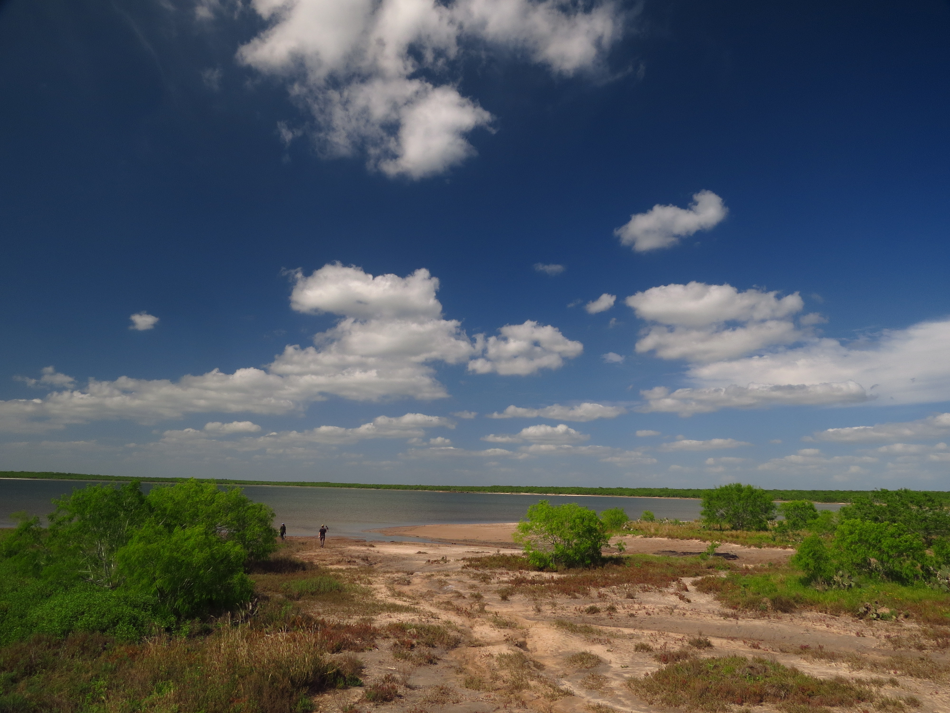
A flagship Lower Rio Grande Valley birding park near Mission, protecting subtropical resaca and thornscrub habitat where tropical species reach the northern edge of their range.
Best season: Fall through spring for peak bird diversity and comfortable weatherUpdated Aug 2026
- World Birding Center headquarters
- About 360 recorded bird species
- Hawk Observation Tower and migration viewing





.jpg%3Fwidth%3D1600)






.jpg%3Fwidth%3D1600)



.jpg%3Fwidth%3D1600)


