Skip to content
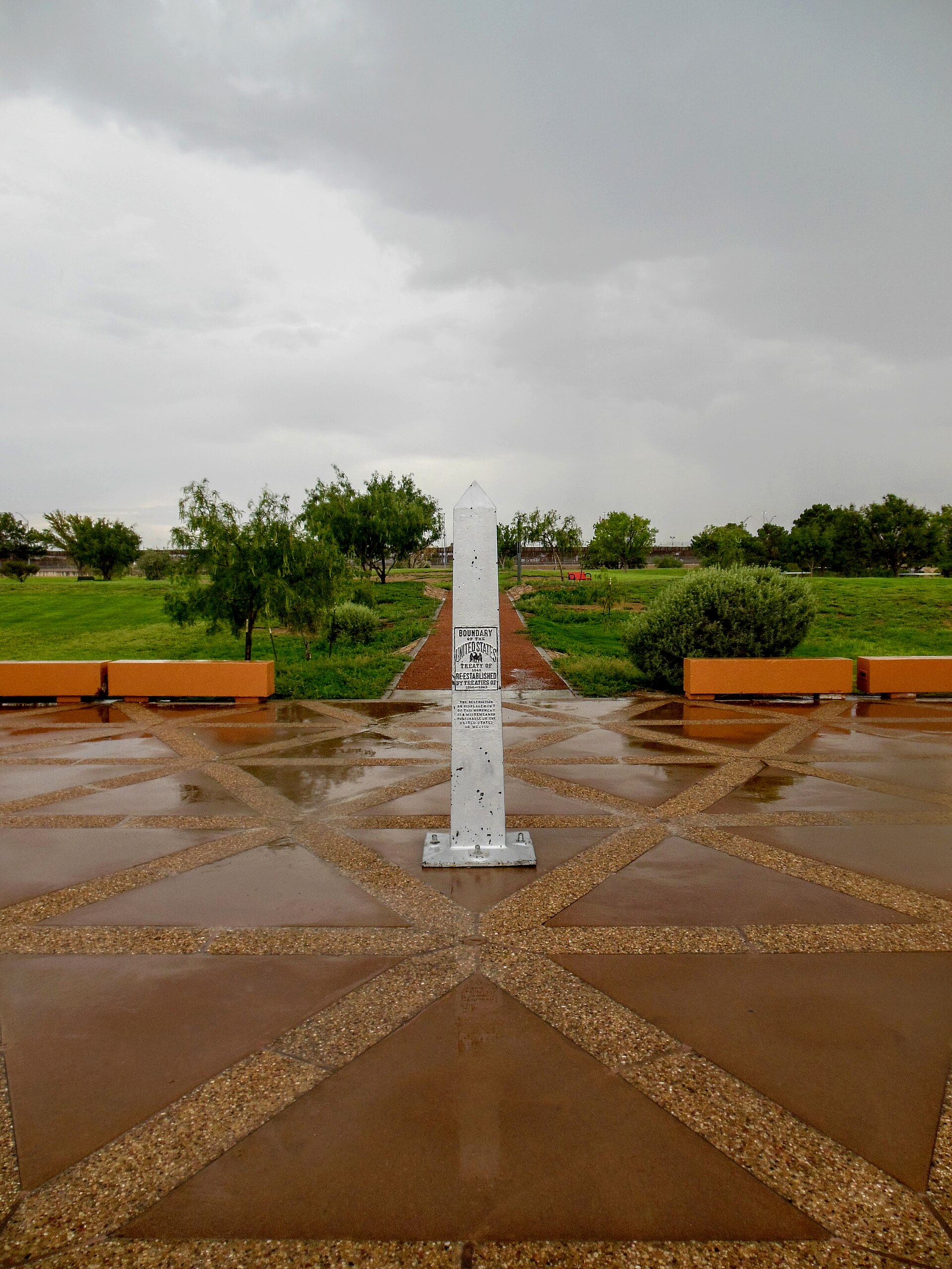
Presidio, Texas welcome sign in the Big Bend region

Big Bend Country · Small Towns

Presidio

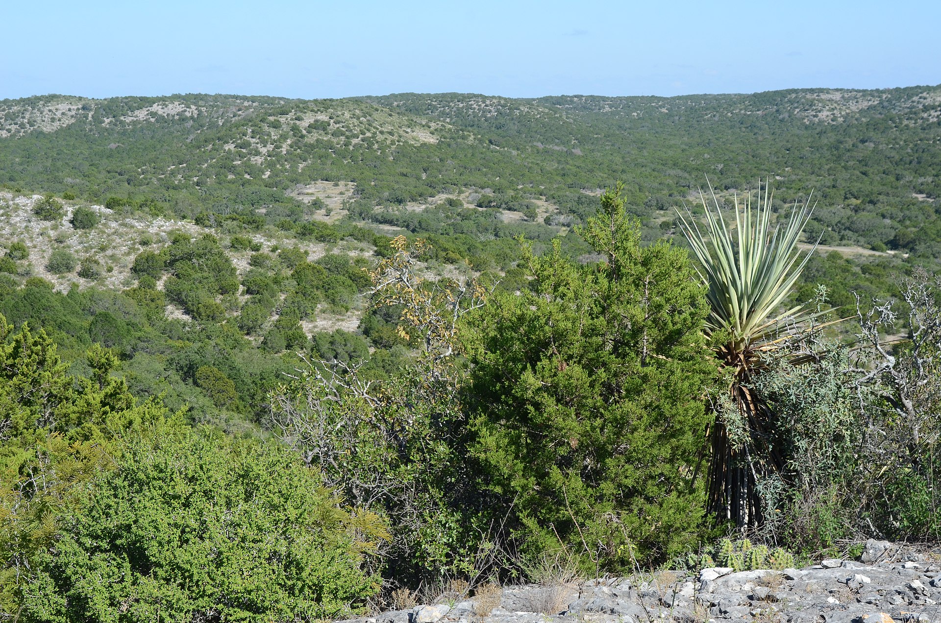
Presidio is a remote Rio Grande border community and western gateway to Big Bend Ranch State Park, combining deep La Junta history, Mexican-American border culture, Fort Leaton, dark skies and the celebrated FM 170 River Road through one of Texas' most dramatic desert landscapes.

Photography: Yuan Yufei / Jadecolour · CC BY-SA 3.0 · Wikimedia Commons

Plan the visit

Presidio at a glance

Where is Presidio?
Presidio is near Presidio, Texas, in Presidio County.
When is the best time to visit Presidio?
Late fall through early spring for desert travel; February through April for possible Big Bend bluebonnets; year-round for border culture with strong summer heat precautions
Do I need to plan ahead for Presidio?
Presidio is remote and summer heat can be severe. Carry water, fuel early, confirm park/road conditions, and bring the required travel documents if you plan to cross the international bridge into Ojinaga rather than remaining on the U.S. side.

The place

Why Presidio belongs on the list

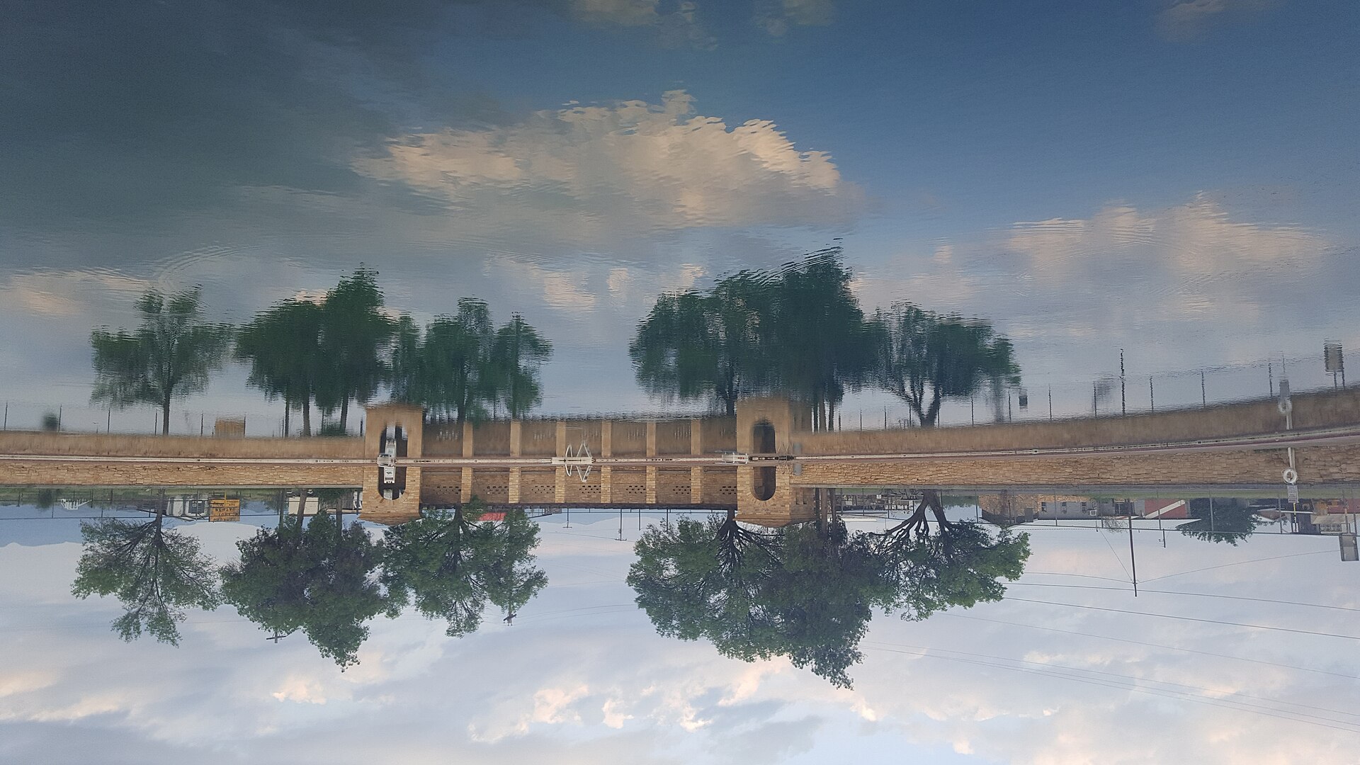
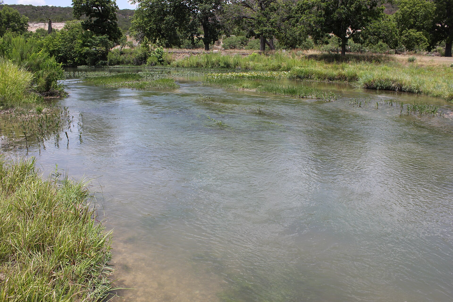
Presidio sits at the Rio Grande in a cultural landscape shaped by Indigenous settlement, Spanish-era missions, ranching, trade and the modern relationship with neighboring Ojinaga. The city's tourism department presents that cross-border identity as part of the town's everyday character while also emphasizing Presidio as a base for remote West Texas travel.

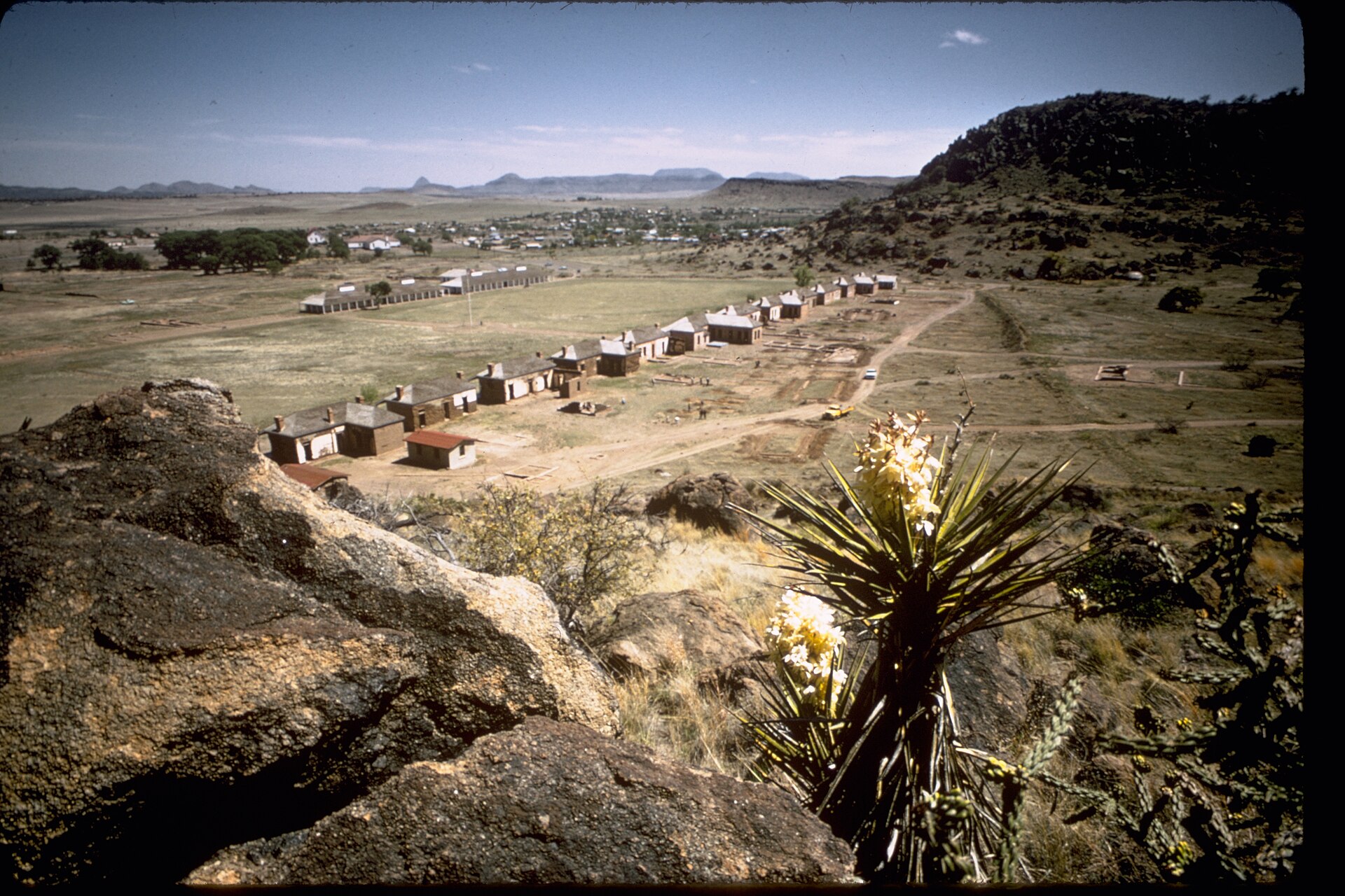
Fort Leaton and Big Bend Ranch State Park give Presidio exceptional destination depth. The fortified adobe trading post serves as a historic gateway, while FM 170 follows the river through canyons, desert mountains, trailheads and overlooks toward Lajitas and the broader Big Bend landscape.

A first visit should not be rushed. Use Presidio for supplies and local food, visit Fort Leaton, then give the River Road or a state-park segment its own daylight block. Remote roads, heat and long distances make advance planning more important here than in most Texas courthouse towns.

The details

Plan the visit

Nearest town
Near Presidio, Texas
Best season
Late fall through early spring for desert travel; February through April for possible Big Bend bluebonnets; year-round for border culture with strong summer heat precautions
Entry & reservations
Presidio is remote and summer heat can be severe. Carry water, fuel early, confirm park/road conditions, and bring the required travel documents if you plan to cross the international bridge into Ojinaga rather than remaining on the U.S. side.
Accessibility
City services and developed visitor facilities are the lower-effort core. Fort Leaton's historic surfaces, desert trails, overlooks and primitive park areas vary considerably; check TPWD accessibility information for specific park sites.
Getting there
Presidio is on the Rio Grande at US 67 and FM 170 in far West Texas. Fort Leaton is just east of town; FM 170 continues southeast along the Rio Grande toward Big Bend Ranch State Park and Lajitas.

Tours & bookable experiences

Add an experience around Presidio

TexasDefined handles the destination planning. Viator can be useful for guided tours, tickets and organized activities near Presidio. Availability changes, so the booking link checks current inventory rather than promising a specific product.

Affiliate disclosure: TexasDefined may earn a commission from qualifying Viator bookings, at no additional cost to you.

Quick answer

Planning a visit to Presidio

What is Presidio?
Presidio is a remote Rio Grande border community and western gateway to Big Bend Ranch State Park, combining deep La Junta history, Mexican-American border culture, Fort Leaton, dark skies and the celebrated FM 170 River Road through one of Texas' most dramatic desert landscapes.
When is the best time to go?
Late fall through early spring for desert travel; February through April for possible Big Bend bluebonnets; year-round for border culture with strong summer heat precautions
What should I know before arriving?
Presidio is remote and summer heat can be severe. Carry water, fuel early, confirm park/road conditions, and bring the required travel documents if you plan to cross the international bridge into Ojinaga rather than remaining on the U.S. side.
Where is it?
Near Presidio, Texas, in Presidio County.

Field notes

What to know before you go

Conditions, closures, fees and availability can change. Use these notes to plan, then confirm the latest details with the official site before making the drive.

Don’t miss

  • Fort Leaton
  • FM 170 River Road
  • Big Bend Ranch State Park gateway
  • Rio Grande border culture
  • dark skies
  • La Junta history

Good to know

  • Best time to go: Late fall through early spring for desert travel; February through April for possible Big Bend bluebonnets; year-round for border culture with strong summer heat precautions.
  • Presidio is remote and summer heat can be severe. Carry water, fuel early, confirm park/road conditions, and bring the required travel documents if you plan to cross the international bridge into Ojinaga rather than remaining on the U.S. side.
  • Accessibility: City services and developed visitor facilities are the lower-effort core. Fort Leaton's historic surfaces, desert trails, overlooks and primitive park areas vary considerably; check TPWD accessibility information for specific park sites.
  • Getting there: Presidio is on the Rio Grande at US 67 and FM 170 in far West Texas. Fort Leaton is just east of town; FM 170 continues southeast along the Rio Grande toward Big Bend Ranch State Park and Lajitas.

What's in the area

Build a fuller trip around Presidio

Use Presidio as the service base for Fort Leaton and one substantial River Road or Big Bend Ranch State Park segment.

Nearby

Attractions close by

Easy additions that fit naturally around the main stop.

  • Fort Leaton

    A historic adobe trading-post complex and western gateway to Big Bend Ranch State Park.

  • FM 170 River Road

    A dramatic Rio Grande scenic corridor linking Presidio with Big Bend Ranch State Park and Lajitas.

Eat nearby

Where to eat and drink

Dining districts and food areas worth building into the same outing.

  • Presidio

    Local Mexican and border-region restaurants are an important part of the town's cultural identity and a practical stop before remote drives.

Stay nearby

Where to stay

The most practical lodging areas for minimizing driving and maximizing time on the ground.

  • Presidio

    A strategic base for the western Big Bend corridor and River Road.

Explore more

Neighborhoods and districts

Nearby parts of the city that add character, shopping, history or nightlife.

  • Downtown Presidio

    The city-services and local-culture core near the international border.

With kids

Family-friendly stops

Good nearby additions when the itinerary includes younger travelers.

  • Fort Leaton

    A developed history stop that can anchor a family Big Bend route before longer scenic drives.

Go farther

Worthwhile side trips

Places that justify extending the visit beyond the immediate area.

  • Big Bend region

    Continue through Marfa, Alpine, Terlingua and the parks of far West Texas.

  • Texas Trip Planner

    Build a Fort Leaton, River Road and border-culture itinerary around Presidio.

Build the trip

Places that pair well with this stop

Nearby places, worthwhile detours and combinations for adding water, history, outdoors or a full weekend around this destination.

Close enough for the same trip

Nearby places

Places ordered by straight-line distance when reliable coordinates are available.

  • Presidio · Presidio County · Big Bend Country

    Big Bend Ranch State Park

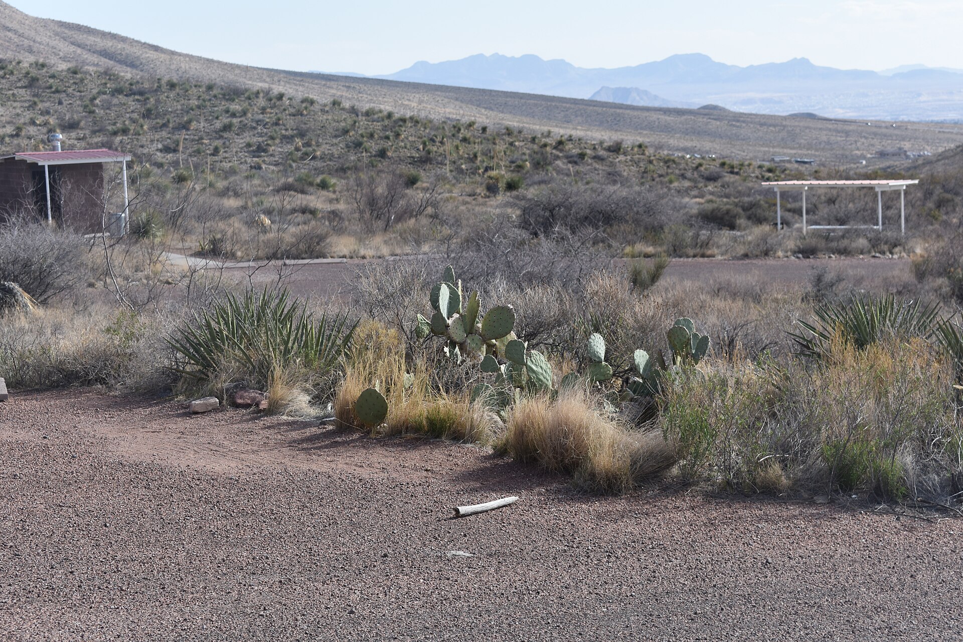
    Texas' largest state park, stretching through remote Chihuahuan Desert mountains, canyons and Rio Grande country west of Presidio with rugged roads, trails and primitive camps.

    Best season: October through April; summer heat can be dangerous
    • Rio Grande canyon country
    • Remote Chihuahuan Desert backcountry
    • Hiking, mountain biking and horseback riding
    Explore this place

    Approx. 28 miles away

  • Terlingua · Brewster County · Big Bend Country

    Terlingua

    A desert community and historic mining ghost town beside Big Bend National Park, known for Chisos views, porch culture, chili history and its role as a base for river and desert trips.

    Best season: October through April; summer heat is extremeUpdated Sep 2026
    • Terlingua Ghost Town
    • Chisos Mountains views
    • Big Bend gateway
    Explore this place

    Approx. 48 miles away

  • Marfa · Presidio County · Big Bend Country

    Marfa

    A tiny Trans-Pecos town where contemporary art, ranching history, minimalist architecture and huge desert skies create one of Texas' most distinctive cultural destinations.

    Best season: Fall through spring; summer days are hot and winter nights can be coldUpdated Sep 2026
    • Chinati Foundation
    • Contemporary art and architecture
    • Marfa Lights viewing area
    Explore this place

    Approx. 56 miles away

  • Terlingua · Big Bend Country

    Chisos Basin, Big Bend

    The mountain heart of Big Bend National Park, where the Chisos rise above the Chihuahuan Desert and major trails begin from a high-elevation basin surrounded by cliffs and iconic views.

    Best season: Fall through spring for the broadest hiking comfort; always check current heat, weather and access alertsUpdated Aug 2026
    • Window View and Window Trail scenery
    • High-elevation Chisos Mountains hiking
    • Big Bend National Park dark skies
    Explore this place

    Approx. 68 miles away

  • Alpine · Brewster County · Big Bend Country

    Alpine

    A high-desert college town beneath the Davis Mountains, serving as a practical Big Bend base with galleries, local food, Sul Ross State University and quick access to scenic West Texas drives.

    Best season: Fall through spring for regional exploring; summer afternoons are hot but elevation moderates nightsUpdated Sep 2026
    • Museum of the Big Bend
    • Sul Ross State University
    • Walkable downtown
    Explore this place

    Approx. 70 miles away

  • Terlingua · Brewster County · Big Bend Country

    Big Bend National Park

    A vast Chihuahuan Desert national park where the Rio Grande, the Chisos Mountains and some of Texas's most dramatic canyon country meet, with scenic drives, long-distance hiking, dark skies and enough geographic range to reward several days rather than a single overlook stop.

    Best season: Fall through spring for hiking and lower-elevation exploring; summer heat can be extreme, so warm-season plans should favor early starts, higher elevations and conservative distancesUpdated Aug 2026
    • Santa Elena Canyon and the Rio Grande
    • Chisos Basin, the Window and high-country trails
    • Ross Maxwell Scenic Drive and desert geology
    Explore this place

    Approx. 72 miles away

Build a better day

Pair this stop with something different

Nearby parks, water, towns, history and outdoor places that complement this destination.

  • Fort Davis · Jeff Davis County · Big Bend Country

    Fort Davis National Historic Site

    One of the Southwest's best-preserved frontier Army posts, set beneath the Davis Mountains with restored barracks, officers' quarters and exhibits interpreting soldiers, civilians and Buffalo Soldiers on the nineteenth-century Texas frontier.

    Best season: Fall through spring for mild temperatures; summer mornings are more comfortable for walking the open post grounds
    • Restored frontier military buildings
    • Buffalo Soldier history
    • Davis Mountains setting
    Explore this place

    Approx. 77 miles away

  • Monahans · Ward County · Big Bend Country

    Monahans Sandhills State Park

    A West Texas field of wind-shaped dunes where visitors can roam without marked trails, rent sand discs, camp beneath wide skies and watch the landscape change after every strong wind.

    Best season: Fall through spring for comfortable dune exploration; summer sand and air temperatures can be extreme
    • Open dune field shaped constantly by West Texas wind
    • Sand-disc rentals for sledding the dunes
    • No fixed trails, allowing free exploration across the sand
    Explore this place

    Approx. 170 miles away

  • Sheffield · Crockett County · Big Bend Country

    Fort Lancaster State Historic Site

    Established in 1855, Fort Lancaster protected a strategic overland route linking San Antonio and El Paso across West Texas. The isolated ruins make the scale, distance and logistical difficulty of 19th-century travel across the Edwards Plateau immediately understandable.

    Best season: Year-round; spring and fall are usually the most comfortable for outdoor portions of a visit.Updated Aug 2026
    • frontier forts
    • San Antonio-El Paso road
    • West Texas
    Explore this place

    Approx. 178 miles away

  • Socorro · El Paso County · Big Bend Country

    Old Socorro Mission

    The Socorro area preserves one of the oldest mission landscapes associated with Spanish colonial settlement in what is now Texas. It belongs on an El Paso Mission Trail itinerary connecting Indigenous, Spanish and Mexican history along the Rio Grande.

    Best season: Year-round; spring and fall are usually the most comfortable for outdoor portions of a visit.Updated Aug 2026
    • Spanish missions
    • El Paso Mission Trail
    • borderlands
    Explore this place

    Approx. 185 miles away

  • El Paso · El Paso County · Big Bend Country

    Chamizal National Memorial

    An El Paso national memorial telling the story of a century-long U.S.–Mexico boundary dispute resolved peacefully in 1963, with museum exhibits, cultural programs and broad lawns beside the international border.

    Best season: Fall through spring for comfortable outdoor walking; indoor exhibits make the site useful year-round
    • U.S.–Mexico boundary history
    • Chamizal Cultural Center and museum
    • Public art and performance programs
    Explore this place

    Approx. 196 miles away

Add some water

Nearby water stops

Lakes, rivers, springs and coastal places that can fit into the same trip.

  • Balmorhea · Reeves County · Big Bend Country

    Balmorhea State Park

    A West Texas oasis built around San Solomon Springs and the world’s largest spring-fed swimming pool, where clear 72-to-76-degree water fills a historic CCC-era park in the desert.

    Best season: Year-round for the spring-fed pool; summer is busiest, while spring and fall pair swimming with milder desert weather
    • 1.3-acre spring-fed swimming pool supplied by San Solomon Springs
    • Crystal-clear water typically 72 to 76 degrees year-round
    • Swimming and scuba diving in water up to about 25 feet deep
    Explore this place

    Approx. 102 miles away

  • Del Rio · Val Verde County · Big Bend Country

    Devils River State Natural Area

    A remote, exceptionally clear spring-fed river natural area in Southwest Texas with two reservation-only units—Del Norte and Dan A. Hughes—protecting rugged limestone canyon country and primitive backcountry access.

    Best season: Spring and fall for cooler backcountry travel; summer heat is severeUpdated Aug 2026
    • Del Norte Unit
    • Dan A. Hughes Unit
    • Clear spring-fed Devils River
    Explore this place

    Approx. 205 miles away

  • Junction · Kimble County

    South Llano River State Park

    A clear-river Hill Country park near Junction where swimming, tubing, paddling, turkey habitat, pecan bottomlands and miles of trails come together along the spring-fed South Llano River.

    Best season: Spring and fall for trails and river weather; summer for swimming and tubing with heat precautionsUpdated Sep 2026
    • South Llano River swimming and tubing
    • Multiple tuber put-in and take-out points
    • Paddling on the spring-fed river
    Explore this place

    Approx. 280 miles away

  • Spring Branch · Comal County

    Guadalupe River State Park

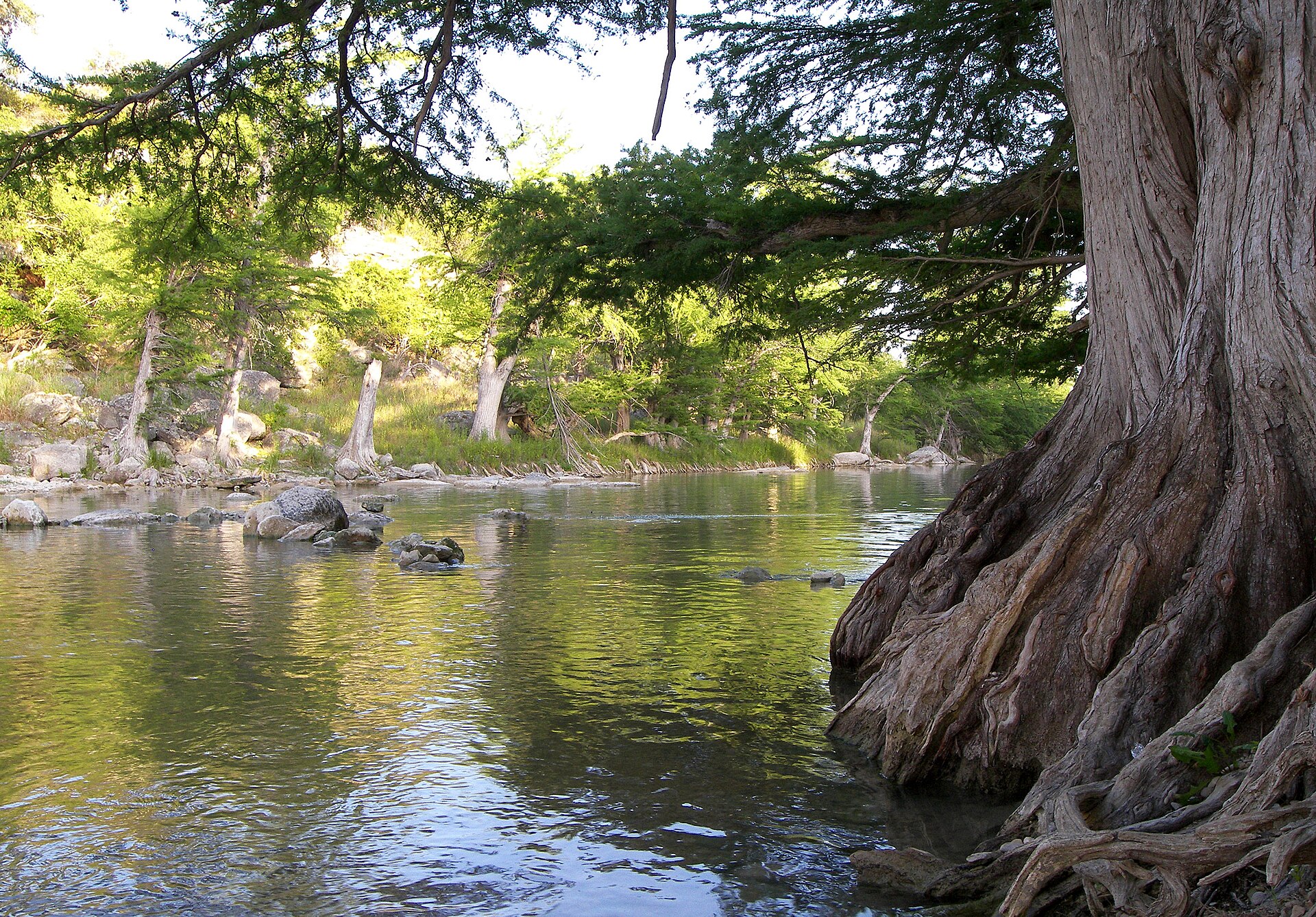
    Four miles of Guadalupe River frontage between San Antonio and the Hill Country, pairing cypress-lined swimming and paddling water with trails, camping and access to the protected Honey Creek landscape.

    Best season: Late spring through early fall for river time; fall through spring for comfortable hiking
    • Four miles of Guadalupe River frontage
    • Swimming, tubing, paddling and fishing when river conditions allow
    • Hill Country trails through prairie, oak woodland and river corridor
    Explore this place

    Approx. 353 miles away

Add some Texas context

Historic stops nearby

Historic sites, small towns and road-trip stops that add context to the route.

  • Pecos · Reeves County · Big Bend Country

    Pecos

    Pecos is a Trans-Pecos crossroads and rodeo-history town on I-20, known for its 1883 rodeo tradition, Reeves County Courthouse, western trails, Pecos Bill lore, public art and a growing visitor-services role between Midland-Odessa, the Davis Mountains and far West Texas.

    Best season: Fall through spring for outdoor walking and West Texas road trips; rodeo and festival dates for the strongest event atmosphere; summer with heat precautionsUpdated Sep 2026
    • world's-first-rodeo tradition
    • Reeves County Courthouse
    • western trail history
    Explore this place

    Approx. 139 miles away

Keep the day outside

More outdoors nearby

Parks, caverns and outdoor destinations that pair naturally with this stop.

  • Salt Flat · Culberson County · Big Bend Country

    Guadalupe Mountains National Park

    A remote West Texas national park protecting the fossilized Capitan Reef, Guadalupe Peak—the highest point in Texas—McKittrick Canyon, El Capitan and rugged desert-to-mountain trails near the New Mexico line.

    Best season: Spring and fall for hiking; fall is especially popular for McKittrick Canyon color, while winter can bring strong winds and summer demands conservative heat planningUpdated Aug 2026
    • Guadalupe Peak, the highest point in Texas
    • El Capitan and the exposed fossilized Capitan Reef
    • McKittrick Canyon and fall foliage
    Explore this place

    Approx. 163 miles away

  • El Paso · El Paso County · Big Bend Country

    Franklin Mountains State Park

    A rugged mountain park rising directly through El Paso, with desert hiking, mountain biking, climbing and high overlooks across the city, Rio Grande valley and surrounding Chihuahuan Desert.

    Best season: October through April; summer hiking should be limited to cool hours
    • North Franklin Peak country
    • Desert hiking and mountain biking
    • Rock climbing
    Explore this place

    Approx. 205 miles away

More like this

People also visit

Similar destinations, favoring the same region and the shortest available distance.

  • Sonora · Sutton County

    Sonora

    Sonora is an I-10 Sutton County town at the meeting point of the Hill Country and West Texas, combining a historic courthouse and Main Street, Eaton Hill trails, ranching history and one of the state's most celebrated show caves just southwest of town.

    Best season: Fall through spring for Eaton Hill and downtown walking; the Caverns of Sonora stays warm and humid year-round and requires separate tour planningUpdated Sep 2026
    • Caverns of Sonora
    • Sutton County Courthouse
    • Eaton Hill Nature Center
    Explore this place

    Approx. 234 miles away

  • Rocksprings · Edwards County

    Rocksprings

    Rocksprings is an Edwards Plateau courthouse town best known as the required departure point for Devil's Sinkhole State Natural Area, where reservation-only tours lead to a National Natural Landmark cave and one of Texas' largest seasonal Mexican free-tailed bat colonies.

    Best season: Late spring through early fall for seasonal bat flights; fall through spring for quieter plateau drives and courthouse-town explorationUpdated Sep 2026
    • Devil's Sinkhole visitor center
    • seasonal bat flights
    • Edwards County Courthouse
    Explore this place

    Approx. 252 miles away

  • Leakey · Real County

    Leakey

    Leakey is the Real County seat and practical hub of the Frio Canyon, pairing a historic limestone courthouse with Frio River recreation, scenic Hill Country drives, nearby Garner State Park and access to the Lost Maples and Three Twisted Sisters landscape.

    Best season: Spring through early fall for Frio River trips; fall for foliage and scenic driving; winter for quieter courthouse-town and canyon explorationUpdated Sep 2026
    • Frio Canyon
    • Frio River
    • Real County Courthouse
    Explore this place

    Approx. 277 miles away

  • Junction · Kimble County

    Junction

    Junction is a Kimble County river town where the North and South Llano meet, combining a compact county-seat core with paddling, tubing, fishing, birding, dark skies, Lovers Leap overlooks and South Llano River State Park just south of town.

    Best season: Spring through early fall for river recreation; fall through spring for hiking, birding, dark skies and cooler scenic drivesUpdated Sep 2026
    • South Llano River
    • North Llano River
    • South Llano River State Park
    Explore this place

    Approx. 283 miles away

Keep exploring the region

More in this part of Texas

Additional places from the same Texas region.

  • San Angelo · Tom Green County · Big Bend Country

    San Angelo State Park

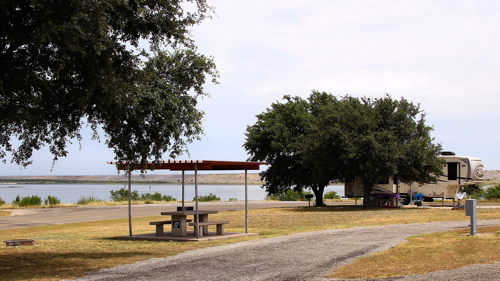
    A large Concho Valley park on O.C. Fisher Reservoir with miles of hiking, biking and equestrian trails, wildlife habitat and a landscape tied to the official Texas State Longhorn Herd.

    Best season: Fall through spring; summer heat can be severe
    • Extensive hiking, biking and equestrian trails
    • Texas State Longhorn Herd connection
    • O.C. Fisher Reservoir
    Explore this place

    Approx. 265 miles away

  • Big Spring · Howard County · Big Bend Country

    Big Spring State Park

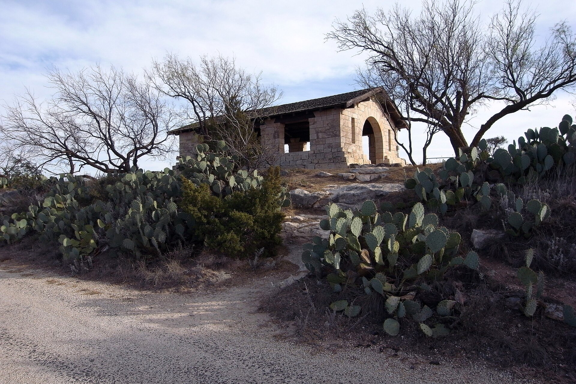
    A compact West Texas park atop Scenic Mountain, where a CCC-built loop road and overlooks provide broad views across Big Spring and the surrounding plains.

    Best season: Fall through spring; sunrise and sunset are especially rewarding
    • Scenic Mountain overlooks
    • CCC-built loop road and stonework
    • Sunrise and sunset views
    Explore this place

    Approx. 251 miles away

  • Brackettville · Kinney County · Big Bend Country

    Kickapoo Cavern State Park

    A remote western Hill Country park near Brackettville with wild-cave tours, rugged trails and seasonal evening flights of Mexican free-tailed bats from Stuart Bat Cave.

    Best season: Spring and fall for hiking; bat flights are seasonal
    • Guided wild-cave tours in Kickapoo Cavern
    • Seasonal bat flights from Stuart Bat Cave
    • Rugged limestone hiking and mountain biking
    Explore this place

    Approx. 236 miles away

  • Midland · Midland County · Big Bend Country

    Bush Family Home State Historic Site

    The Midland home preserves the West Texas years of a family that would produce presidents, governors, a vice president and two first and second ladies. The house gives presidential history a domestic West Texas setting and helps explain how Midland's postwar boom shaped the Bush family's early years.

    Best season: Year-round; spring and fall are usually the most comfortable for outdoor portions of a visit.Updated Aug 2026
    • presidential history
    • Midland
    • 20th-century Texas
    Explore this place

    Approx. 217 miles away

  • El Paso · El Paso County · Big Bend Country

    Magoffin Home State Historic Site

    The 1875 adobe home preserves the story of a multicultural borderlands family influential in El Paso's civic, trade and regional development. The architecture and family story provide a strong introduction to El Paso as a borderlands city shaped by overlapping Mexican, American and regional traditions.

    Best season: Year-round; spring and fall are usually the most comfortable for outdoor portions of a visit.Updated Aug 2026
    • borderlands history
    • adobe architecture
    • El Paso
    Explore this place

    Approx. 197 miles away

Read next

More from Small Towns

Small Towns

How to Read a Texas Small Town

Start at the courthouse, find the old commercial street, ask what still opens before eight and stay long enough to see the town as more than a photo stop.

August 7, 2026 · About 4 minutes