Skip to content
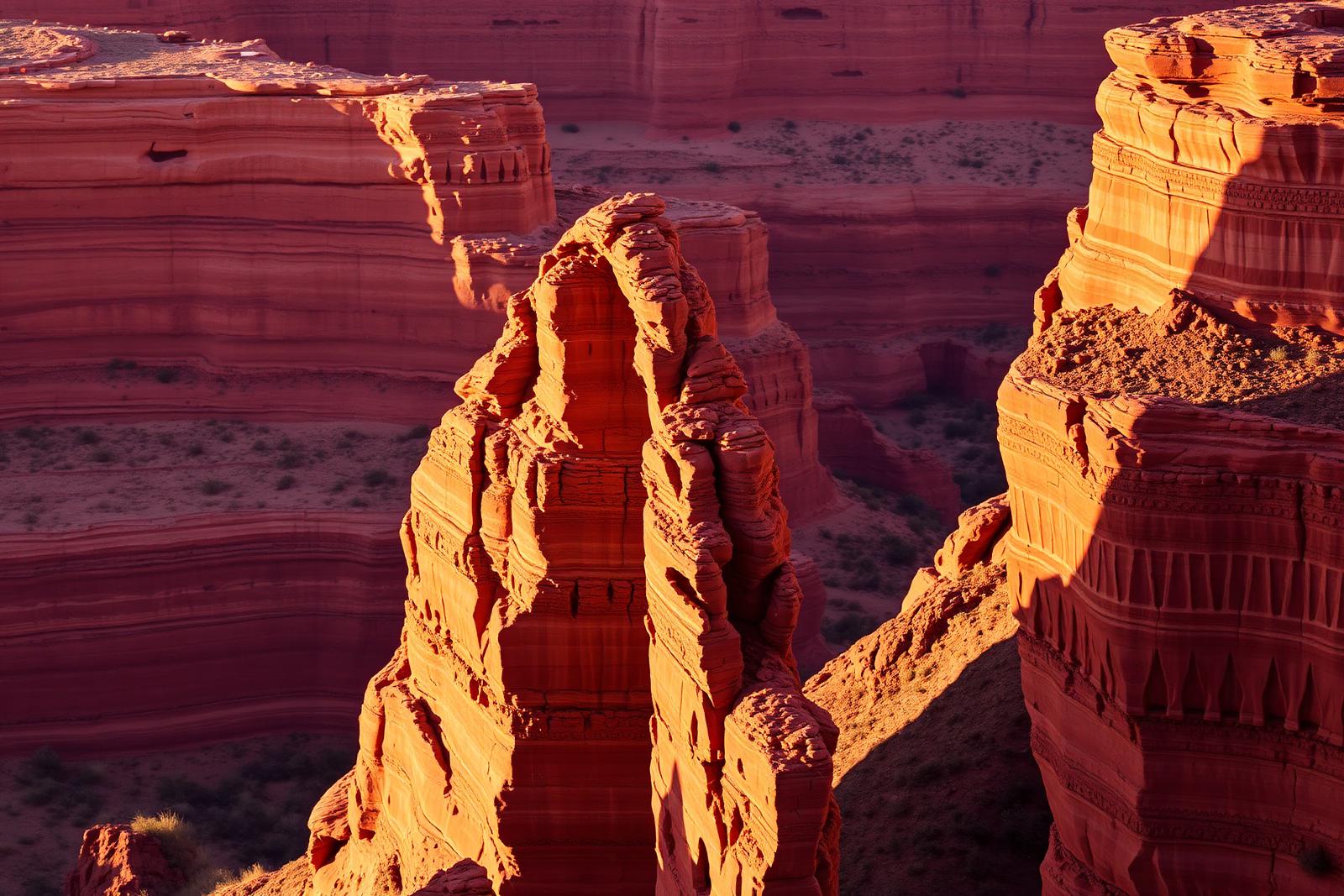
Layered red canyon walls and open landscape in Palo Duro Canyon State Park

Panhandle Plains · State Parks

Palo Duro Canyon State Park

The Panhandle's immense red-rock canyon state park, often called the Grand Canyon of Texas, with more than 30 miles of hiking, biking and equestrian trails, dramatic rim-to-floor drives, CCC history and the iconic Lighthouse formation near Canyon and Amarillo.

Photography: Gail Frederick · CC BY 2.0 · Wikimedia Commons

Plan the visit

Palo Duro Canyon State Park at a glance

Where is Palo Duro Canyon State Park?
Palo Duro Canyon State Park is near Canyon, Texas, in Randall County.
When is the best time to visit Palo Duro Canyon State Park?
Spring and fall for hiking; winter can be excellent on mild days, while summer requires early starts, heat awareness and frequent water breaks on exposed canyon trails
Do I need to plan ahead for Palo Duro Canyon State Park?
Day-use reservations are strongly recommended because the park can reach capacity. Trail access can change with heat, rain and maintenance, and camping, cabins or glamping require separate reservations. Check current alerts before driving into the canyon.
Who manages Palo Duro Canyon State Park?
Texas Parks and Wildlife Department

The place

Why Palo Duro Canyon State Park belongs on the list

Palo Duro Canyon State Park is where the flat scale of the Texas Panhandle suddenly breaks open. The canyon exposes layers of red, orange and pale rock carved by the Prairie Dog Town Fork of the Red River, creating a landscape so different from the surrounding plains that the descent from the rim feels like entering another region.

The Lighthouse Trail is the park's best-known hike, leading toward a tall hoodoo formation that has become Palo Duro's visual symbol. Its popularity should not obscure the rest of the trail system: shorter canyon-floor walks, rim views, mountain-bike routes and equestrian trails let visitors choose a day based on weather, ability and how much time they want to spend away from the car.

Driving into the canyon is itself part of the attraction. The park road drops from broad rim overlooks to the floor, passing trailheads, campgrounds and CCC-era structures. Visitors who cannot tackle a long trail can still understand the canyon's scale by combining overlooks, the visitor center, short walks and carefully chosen roadside stops.

Heat is the main planning constraint. Canyon-floor temperatures can climb quickly, shade is limited and exposed trails become dangerous when hikers underestimate water needs or start too late. Texas Parks and Wildlife can close trails because of excessive heat or wet conditions, so the best summer strategy is an early start followed by indoor or shaded attractions around Canyon and Amarillo.

Palo Duro also has a strong cultural layer. Civilian Conservation Corps crews built roads, cabins and park infrastructure in the 1930s, while the seasonal TEXAS Outdoor Musical uses the canyon walls as a dramatic backdrop for a long-running Panhandle production. Those experiences make the park more than a geology stop, especially for an overnight visitor.

Canyon is the nearest town and home to the Panhandle-Plains Historical Museum, one of the best companions to the park because it explains the region's Indigenous, ranching, transportation and settlement history. Amarillo is close enough to provide a larger lodging and dining base, and a longer Panhandle route can add Cadillac Ranch, Caprock Canyons, Lake Meredith and Alibates Flint Quarries.

The details

Plan the visit

Nearest town
Near Canyon, Texas
Best season
Spring and fall for hiking; winter can be excellent on mild days, while summer requires early starts, heat awareness and frequent water breaks on exposed canyon trails
Address
11450 Park Road 5, Canyon, TX 79015
Entry & reservations
Day-use reservations are strongly recommended because the park can reach capacity. Trail access can change with heat, rain and maintenance, and camping, cabins or glamping require separate reservations. Check current alerts before driving into the canyon.
Accessibility
Texas Parks and Wildlife offers accessible facilities and an all-terrain wheelchair program that can expand access to some rugged areas with advance arrangements. Individual trails vary widely in grade, surface and exposure, so review current accessibility details for the specific experience you want.
Getting there
The park is east of Canyon and south-east of Amarillo. The entrance road descends steeply from the rim to the canyon floor; check weather and park alerts before arrival, especially after heavy rain or during extreme heat.

Tours & bookable experiences

Add an experience around Palo Duro Canyon State Park

TexasDefined handles the destination planning. Viator can be useful for guided tours, tickets and organized activities near Canyon. Availability changes, so the booking link checks current inventory rather than promising a specific product.

Affiliate disclosure: TexasDefined may earn a commission from qualifying Viator bookings, at no additional cost to you.

Quick answer

Planning a visit to Palo Duro Canyon State Park

What is Palo Duro Canyon State Park?
The Panhandle's immense red-rock canyon state park, often called the Grand Canyon of Texas, with more than 30 miles of hiking, biking and equestrian trails, dramatic rim-to-floor drives, CCC history and the iconic Lighthouse formation near Canyon and Amarillo.
When is the best time to go?
Spring and fall for hiking; winter can be excellent on mild days, while summer requires early starts, heat awareness and frequent water breaks on exposed canyon trails
What should I know before arriving?
Day-use reservations are strongly recommended because the park can reach capacity. Trail access can change with heat, rain and maintenance, and camping, cabins or glamping require separate reservations. Check current alerts before driving into the canyon.
Where is it?
Near Canyon, Texas, in Randall County.

Field notes

What to know before you go

Conditions, closures, fees and availability can change. Use these notes to plan, then confirm the latest details with the official site before making the drive.

Things to do

  • Lighthouse Trail and the park's signature rock formation
  • More than 30 miles of hiking, biking and equestrian trails

Don’t miss

  • Canyon rim overlooks and scenic drive to the floor
  • CCC-built cabins and park history
  • Seasonal TEXAS Outdoor Musical in the canyon amphitheater

Good to know

  • Best time to go: Spring and fall for hiking; winter can be excellent on mild days, while summer requires early starts, heat awareness and frequent water breaks on exposed canyon trails.
  • Day-use reservations are strongly recommended because the park can reach capacity. Trail access can change with heat, rain and maintenance, and camping, cabins or glamping require separate reservations. Check current alerts before driving into the canyon.
  • Check reservations before making the drive.
  • Accessibility: Texas Parks and Wildlife offers accessible facilities and an all-terrain wheelchair program that can expand access to some rugged areas with advance arrangements. Individual trails vary widely in grade, surface and exposure, so review current accessibility details for the specific experience you want.
  • Getting there: The park is east of Canyon and south-east of Amarillo. The entrance road descends steeply from the rim to the canyon floor; check weather and park alerts before arrival, especially after heavy rain or during extreme heat.

TexasDefined authority guide

Verified planning notes for Palo Duro Canyon State Park

Operational facts are tied to official sources and a recorded review date. Supporting agency, institutional, conservation, science and historic-designation sources add context where useful. TexasDefined's planning assessment is editorial judgment—not a paid rating or a claim of an unrecorded personal visit.

Verified visitor information

What we checked

Reviewed August 17, 2026

Recommended visit
4–6 hours; a full day for hiking and evening programming
Managing authority
Texas Parks and Wildlife Department[1]
Visitor address
11450 Park Road 5, Canyon, TX 79015[1]
Entry / reservations
Day-use reservations are strongly recommended because the park can reach capacity. Trail access can change with heat, rain and maintenance, and camping, cabins or glamping require separate reservations. Check current alerts before driving into the canyon.[1]
Evidence layer
4 distinct authority sources attached to this guide, including the controlling visitor source and supporting institutional context where available.

Editorial assessment

How to think about the visit

Physical effort
Moderate
Weather exposure
Fully outdoors
Advance planning
Moderate
Family fit
Strong when trail difficulty and heat are matched to the group
First-time Texas value
The signature natural-landscape stop in the Texas Panhandle

Why it matters to Texas

More than a photo stop

Palo Duro Canyon reveals a dramatic cut through the Texas Panhandle plains, exposing colorful geology and a landscape tied to Indigenous history, ranching and the region's modern recreation culture. Its road-accessible canyon floor makes large-scale geology unusually approachable.

Research & review: Texas Defined Editorial Desk. Operational details are checked against the linked controlling source; supporting sources deepen history, science, conservation or institutional context. Editorial assessments describe trip-planning value rather than a star rating. See the Top-25 methodology. Citation guidance.

Use the time you have

Three ways to visit

2–3 hours

Canyon sampler

  1. 1Stop at rim viewpoints
  2. 2Drive the canyon road
  3. 3Take a short trail near the canyon floor

4–5 hours

Active half day

  1. 1Early scenic overlooks
  2. 2Complete one moderate trail
  3. 3Picnic or stop at a canyon-floor area

Full day

Full canyon day

  1. 1Hike early
  2. 2Explore scenic road stops during midday
  3. 3Stay for sunset or scheduled evening programming

Before you go

Traveler questions, answered

How long should I allow for Palo Duro Canyon State Park?
4–6 hours; a full day for hiking and evening programming
Do I need to plan ahead?
Day-use reservations are strongly recommended because the park can reach capacity. Trail access can change with heat, rain and maintenance, and camping, cabins or glamping require separate reservations. Check current alerts before driving into the canyon.[1]
When is the best time to go?
Spring and fall for hiking; winter can be excellent on mild days, while summer requires early starts, heat awareness and frequent water breaks on exposed canyon trails
What should I know about accessibility?
Texas Parks and Wildlife offers accessible facilities and an all-terrain wheelchair program that can expand access to some rugged areas with advance arrangements. Individual trails vary widely in grade, surface and exposure, so review current accessibility details for the specific experience you want.
What should I pair with Palo Duro Canyon State Park?
Panhandle-Plains Historical Museum (About 15 miles west in Canyon): A major regional museum at West Texas A&M explains Panhandle archaeology, ranching, petroleum, art and settlement history.
What is a worthwhile side trip?
Cadillac Ranch (West of Amarillo): Add one of Texas's best-known roadside-art landmarks to the same Panhandle itinerary.

What's in the area

Build a fuller trip around Palo Duro Canyon State Park

Palo Duro is close enough to Canyon and Amarillo that the best trip mixes canyon time with Panhandle museums, Route 66 culture and regional landmarks. Canyon is the history-focused base; Amarillo adds the largest lodging, dining and family-attraction selection.

Nearby

Attractions close by

Easy additions that fit naturally around the main stop.

  • About 15 miles west in Canyon

    Panhandle-Plains Historical Museum

    A major regional museum at West Texas A&M explains Panhandle archaeology, ranching, petroleum, art and settlement history.

  • Inside the park seasonally

    TEXAS Outdoor Musical

    The long-running outdoor production uses the canyon amphitheater as its backdrop and can turn a day visit into an evening experience.

  • About 30 miles north-west

    Cadillac Ranch

    The famous row of buried Cadillacs west of Amarillo adds a quick Route 66-era art stop to the same trip.

  • Amarillo

    Route 66 Historic District

    Neon, shops, restaurants and vintage roadside character along Sixth Avenue provide an urban contrast to the canyon.

Eat nearby

Where to eat and drink

Dining districts and food areas worth building into the same outing.

  • About 15 miles west

    Canyon town center

    Local restaurants and cafes are the closest broad meal option outside the park.

  • About 30 miles north

    Amarillo Route 66 / Sixth Avenue

    Independent restaurants, bars and coffee pair food with a historic roadside district.

  • About 30 miles north

    Downtown Amarillo

    A larger restaurant selection works well for travelers staying in the city.

  • Inside the park

    Park Trading Post

    Limited food and supplies can be useful during a long park day, but carrying water and backup snacks remains essential.

Stay nearby

Where to stay

The most practical lodging areas for minimizing driving and maximizing time on the ground.

  • Inside the park

    Palo Duro Canyon cabins and campsites

    Staying in the canyon maximizes sunrise, sunset and trail time; book well ahead for popular dates.

  • About 15 miles west

    Canyon

    The closest town base keeps the park and Panhandle-Plains Historical Museum convenient.

  • About 30 miles north

    Amarillo

    The largest selection of hotels and services works best for visitors combining several Panhandle attractions.

  • Canyon area

    Glamping options near the park

    Private and park-area glamping can preserve the outdoor feel for travelers who do not want conventional camping.

Explore more

Neighborhoods and districts

Nearby parts of the city that add character, shopping, history or nightlife.

  • Nearest town

    Canyon

    A compact university town with a historic center and regional museum makes the natural community companion to the park.

  • About 30 miles north

    Amarillo Route 66 District

    Historic Sixth Avenue adds neon, shops, restaurants and old-road character.

  • About 30 miles north

    Downtown Amarillo

    Civic buildings, entertainment and restaurants provide a city base for a multi-attraction Panhandle weekend.

With kids

Family-friendly stops

Good nearby additions when the itinerary includes younger travelers.

  • Canyon

    Panhandle-Plains Historical Museum

    Large collections and regional history give families a substantial indoor option during midday heat.

  • Amarillo

    Don Harrington Discovery Center

    Hands-on science and space exhibits make a useful family day component away from exposed canyon trails.

  • Amarillo

    Amarillo Zoo

    A manageable family attraction can fill a few hours before or after a shorter park visit.

  • Inside the park

    Short rim overlooks and visitor center

    Families can experience the canyon's scale without committing young hikers to a long, exposed trail.

Go farther

Worthwhile side trips

Places that justify extending the visit beyond the immediate area.

  • West of Amarillo

    Cadillac Ranch

    Add one of Texas's best-known roadside-art landmarks to the same Panhandle itinerary.

  • About 90 miles south-east

    Caprock Canyons State Park

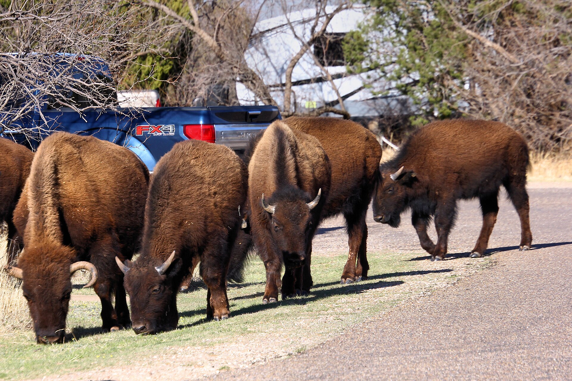
    Bison, rugged trails and another dramatic break in the plains reward travelers extending the trip beyond Palo Duro.

  • About 65 miles north

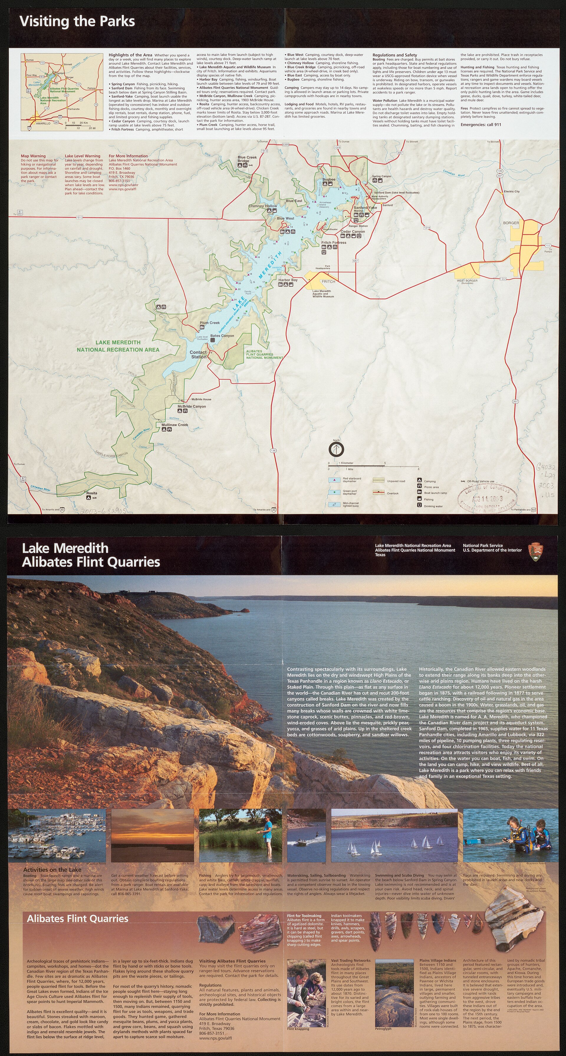
    Lake Meredith National Recreation Area

    Reservoir scenery, hiking and boating introduce a different Panhandle landscape.

  • North-east of Amarillo

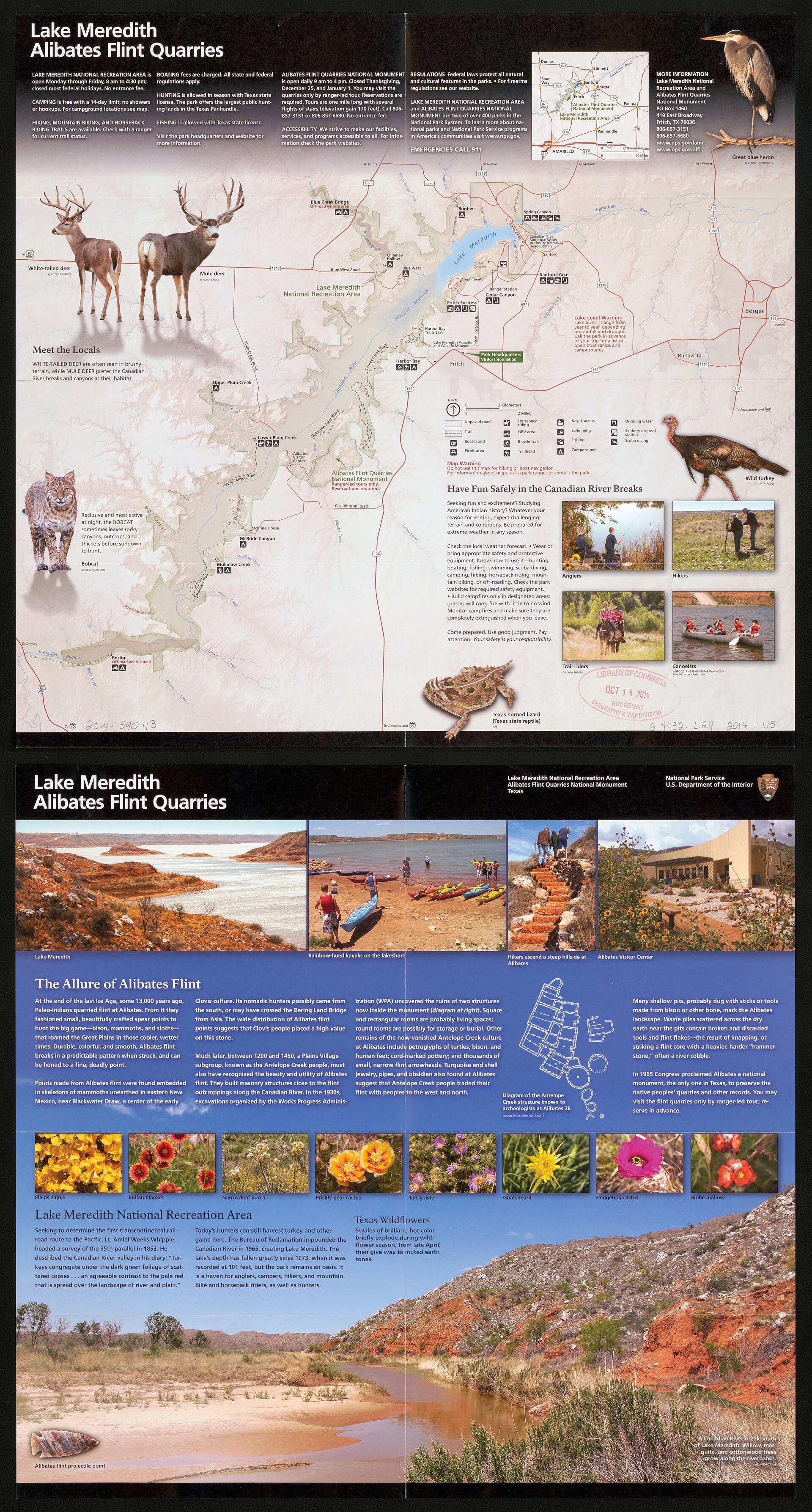
    Alibates Flint Quarries National Monument

    Ranger-led archaeology and the story of high-quality flint connect the Panhandle landscape to thousands of years of human use.

Build the trip

Places that pair well with this stop

Nearby places, worthwhile detours and combinations for adding water, history, outdoors or a full weekend around this destination.

Close enough for the same trip

Nearby places

Places ordered by straight-line distance when reliable coordinates are available.

  • Amarillo · Potter County · Panhandle Plains

    Cadillac Ranch

    Amarillo's landmark roadside-art installation of ten vintage Cadillacs buried nose-first in a Panhandle field, created by Ant Farm in 1974 and transformed by decades of visitor-applied paint into an ever-changing symbol of Route 66 car culture.

    Best season: Spring and fall for comfortable temperatures; sunrise and late afternoon give the flat Panhandle landscape its best light, while rain can turn the dirt approach muddyUpdated Aug 2026
    • Ten Cadillacs buried nose-first in a Panhandle field
    • Visitor-applied spray paint that continually changes the artwork
    • A defining roadside-art stop on the Route 66 corridor
    Explore this place

    Approx. 21 miles away

  • Umbarger · Randall County · Panhandle Plains

    Buffalo Lake National Wildlife Refuge

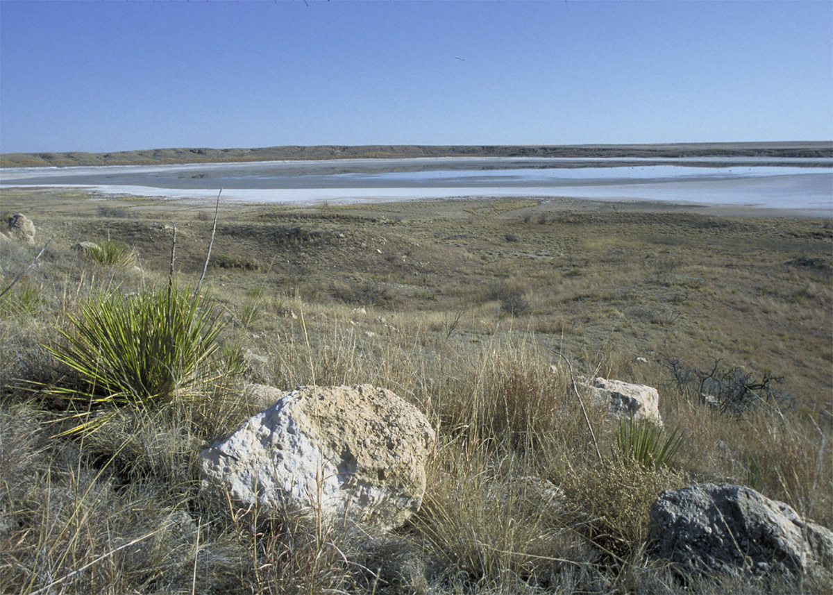
    Buffalo Lake National Wildlife Refuge south of Umbarger protects more than 7,600 acres of High Plains grassland and playa-country habitat where a former reservoir is now largely dry but wildlife viewing remains the central attraction.

    Best season: Spring and fall for migration and moderate temperatures; winter can bring raptors and open-country birds.Updated Sep 2026
    • High Plains grasslands
    • Prairie dogs and grassland birds
    • Auto-tour road
    Explore this place

    Approx. 24 miles away

  • Goodnight · Armstrong County · Panhandle Plains

    Goodnight Ranch State Historic Site

    The ranch interprets Charles and Mary Ann Goodnight and the cattle, conservation and business history of the Texas Panhandle. It is a natural companion to Palo Duro Canyon for visitors interested in how ranching transformed the Southern Plains.

    Best season: Year-round; spring and fall are usually the most comfortable for outdoor portions of a visit.Updated Aug 2026
    • Charles Goodnight
    • ranching
    • Panhandle history
    Explore this place

    Approx. 29 miles away

  • Fritch · Potter County · Panhandle Plains

    Alibates Flint Quarries National Monument

    A Texas Panhandle national monument preserving multicolored flint quarries used for at least 13,000 years, explored through a visitor center and reservation-only ranger hikes above Lake Meredith country.

    Best season: April through October for the main ranger-program season; shoulder months can be cooler for outdoor walks
    • Ancient Alibates flint quarries
    • Reservation-only ranger quarry hike
    • Visitor center and museum exhibits
    Explore this place

    Approx. 41 miles away

  • Fritch · Hutchinson County · Panhandle Plains

    Lake Meredith National Recreation Area

    A large Canadian River reservoir in the Texas Panhandle surrounded by breaks and dry plains, with free access to boating, fishing, swimming, hiking, camping and backcountry roads.

    Best season: Year-round; spring and fall are especially comfortable for hiking while summer favors water recreation
    • Lake Meredith boating and fishing
    • Free camping areas
    • Spring Canyon swimming area
    Explore this place

    Approx. 44 miles away

  • Quitaque · Briscoe County · Panhandle Plains

    Caprock Canyons State Park & Trailway

    Red-rock canyon country beneath the Caprock Escarpment, home to the official Texas State Bison Herd, Lake Theo and a trail network that connects with a long converted-rail Trailway across the Panhandle.

    Best season: Spring and fall for hiking and biking; summer heat can be severe
    • Official Texas State Bison Herd roaming restored prairie
    • Canyon trails and overlooks beneath the Caprock Escarpment
    • Caprock Canyons Trailway with bridges and historic Clarity Tunnel
    Explore this place

    Approx. 54 miles away

Build a better day

Pair this stop with something different

Nearby parks, water, towns, history and outdoor places that complement this destination.

  • Muleshoe · Bailey County · Panhandle Plains

    Muleshoe National Wildlife Refuge

    Muleshoe National Wildlife Refuge on the western High Plains is Texas's oldest national wildlife refuge and is especially known for winter concentrations of lesser sandhill cranes around playa wetlands and native grasslands.

    Best season: Late fall through early spring for sandhill cranes; spring and fall for migration and milder hiking weather.Updated Sep 2026
    • Texas's oldest national wildlife refuge
    • Lesser sandhill crane concentrations
    • High Plains playa wetlands
    Explore this place

    Approx. 94 miles away

  • Canadian · Hemphill County

    Canadian

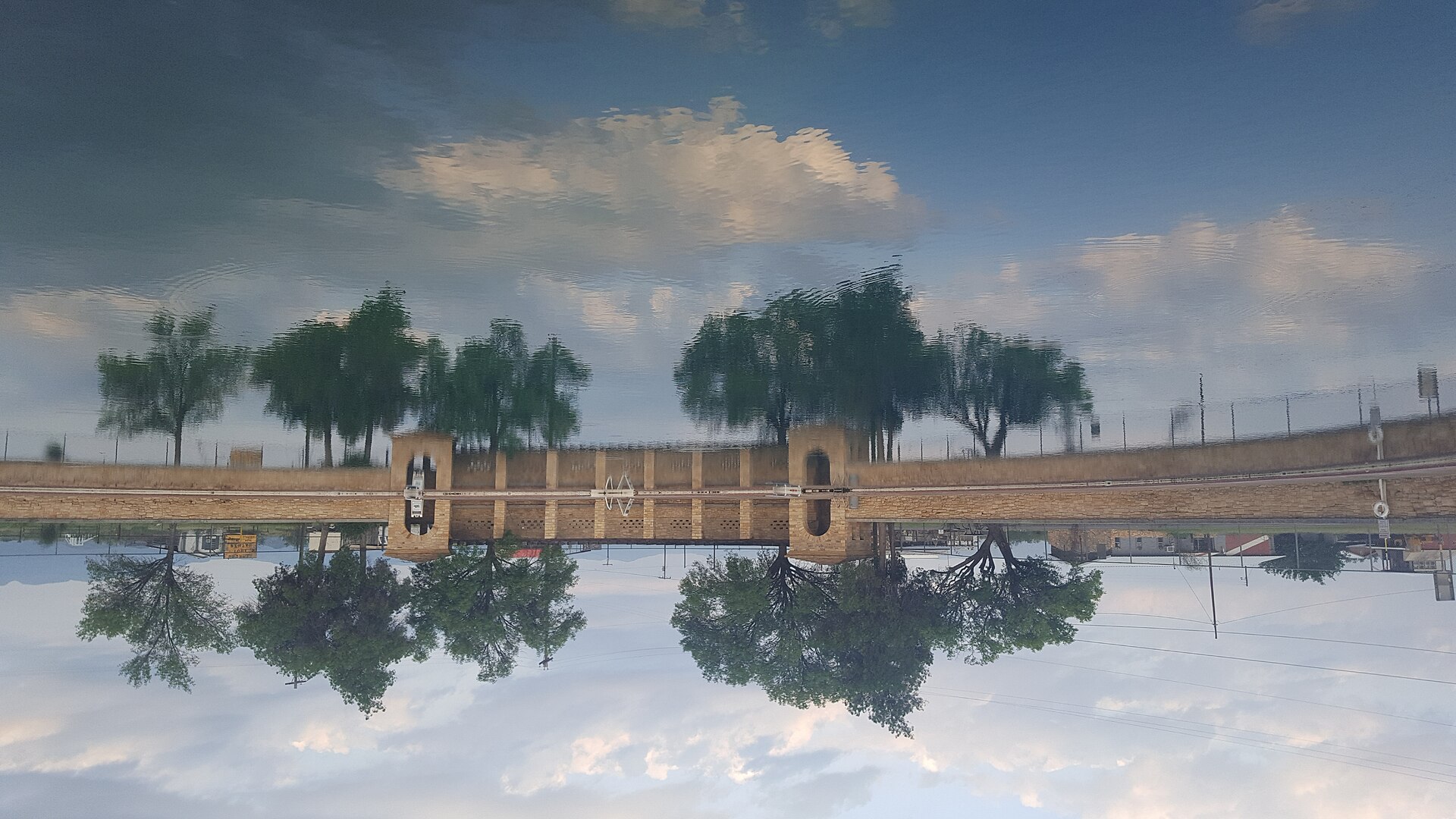
    Canadian is a Hemphill County Panhandle town in the Canadian River Valley where an active cultural district, art and pioneer museums, a restored river wagon bridge, wildlife habitat, historic Main Street and fall-color country create an unusually deep arts-and-outdoors destination.

    Best season: Spring and fall for river-valley trails, wildlife and comfortable walking; fall for foliage; year-round for museums, galleries and cultural programmingUpdated Sep 2026
    • Canadian Cultural District
    • Canadian River Wagon Bridge
    • The Citadelle Art Foundation
    Explore this place

    Approx. 98 miles away

  • Seymour · Baylor County

    Seymour

    Seymour is a North Texas Baylor County town whose standout identity comes from world-class Permian fossil beds, the Whiteside Museum of Natural History, a historic downtown, large city park and an unusually broad set of family recreation spaces.

    Best season: Fall through spring for downtown and park time; museums work year-round, while summer outdoor recreation is best in cooler hoursUpdated Sep 2026
    • Whiteside Museum of Natural History
    • Permian Red Beds
    • Seymour Memorial Park
    Explore this place

    Approx. 169 miles away

  • Graham · Young County

    Graham

    Graham is a north-central Texas courthouse town built around an unusually large downtown square, with western-trail history, public art, local shopping and dining, and easy access to Lake Graham, Lake Eddleman and the wider Possum Kingdom country.

    Best season: Fall through spring for downtown walking and regional drives; warm months for lake recreation when weather and water conditions are suitableUpdated Sep 2026
    • large downtown square
    • Young County Courthouse
    • courthouse archway
    Explore this place

    Approx. 220 miles away

Add some water

Nearby water stops

Lakes, rivers, springs and coastal places that can fit into the same trip.

  • Balmorhea · Reeves County

    Balmorhea State Park

    A West Texas oasis built around San Solomon Springs and the world’s largest spring-fed swimming pool, where clear 72-to-76-degree water fills a historic CCC-era park in the desert.

    Best season: Year-round for the spring-fed pool; summer is busiest, while spring and fall pair swimming with milder desert weather
    • 1.3-acre spring-fed swimming pool supplied by San Solomon Springs
    • Crystal-clear water typically 72 to 76 degrees year-round
    • Swimming and scuba diving in water up to about 25 feet deep
    Explore this place

    Approx. 304 miles away

  • Junction · Kimble County

    South Llano River State Park

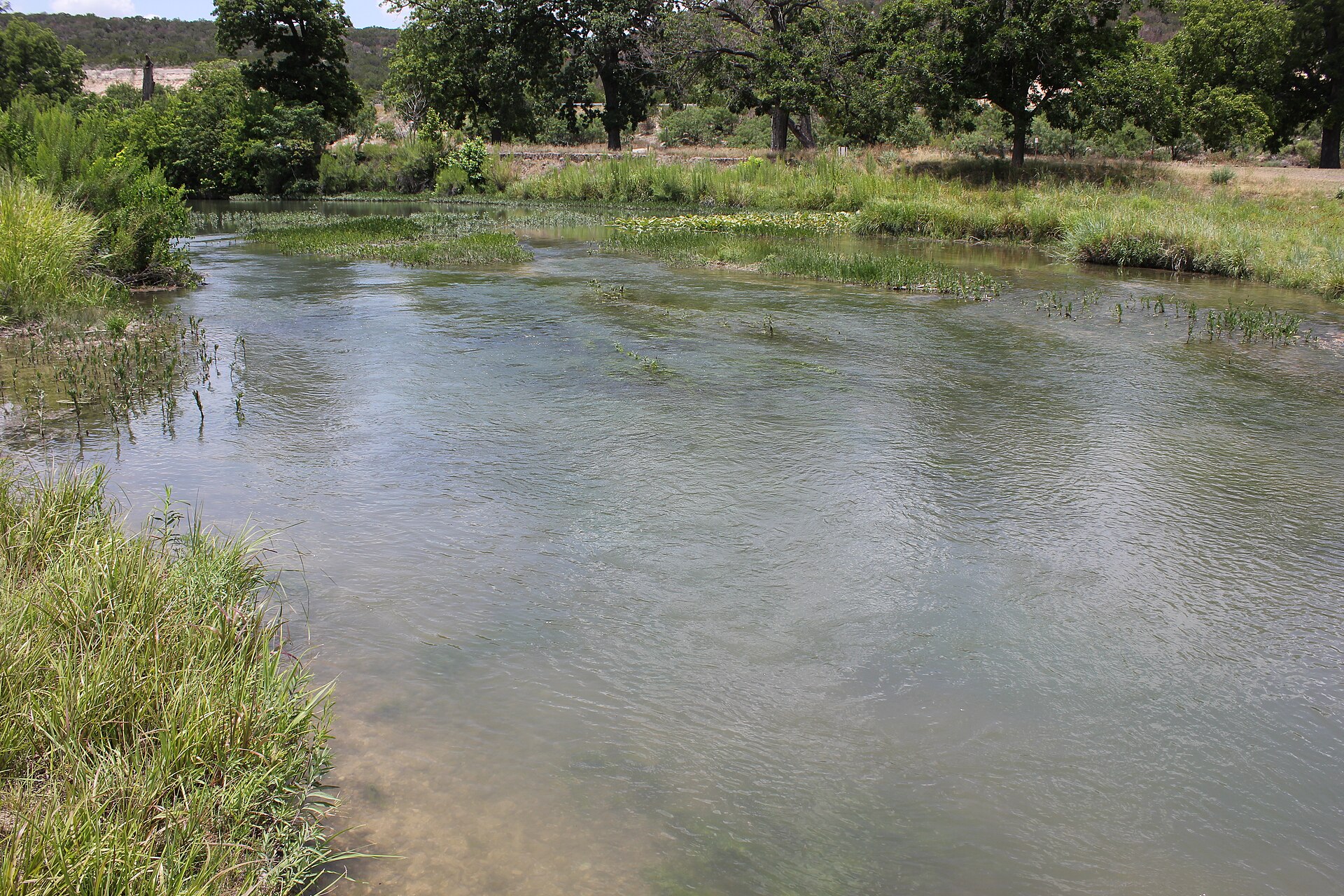
    A clear-river Hill Country park near Junction where swimming, tubing, paddling, turkey habitat, pecan bottomlands and miles of trails come together along the spring-fed South Llano River.

    Best season: Spring and fall for trails and river weather; summer for swimming and tubing with heat precautionsUpdated Sep 2026
    • South Llano River swimming and tubing
    • Multiple tuber put-in and take-out points
    • Paddling on the spring-fed river
    Explore this place

    Approx. 332 miles away

  • Lampasas · Lampasas County

    Hancock Springs Park

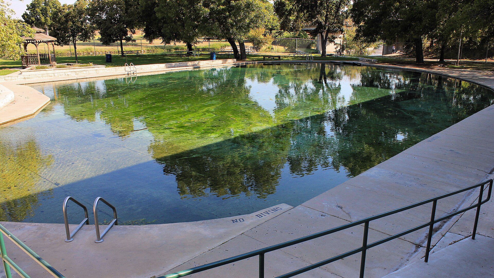
    A historic spring-fed city park in Lampasas built around one of Texas' oldest continuously used public swimming pools, with cool artesian water, mature shade and a strong connection to the town's mineral-springs history.

    Best season: Late spring through summer for swimming; spring and fall for a quieter park visitUpdated Aug 2026
    • Spring-fed Hancock Springs Pool
    • Historic Lampasas mineral-springs setting
    • Picnic, playground and park facilities
    Explore this place

    Approx. 340 miles away

  • Del Rio · Val Verde County

    Devils River State Natural Area

    A remote, exceptionally clear spring-fed river natural area in Southwest Texas with two reservation-only units—Del Norte and Dan A. Hughes—protecting rugged limestone canyon country and primitive backcountry access.

    Best season: Spring and fall for cooler backcountry travel; summer heat is severeUpdated Aug 2026
    • Del Norte Unit
    • Dan A. Hughes Unit
    • Clear spring-fed Devils River
    Explore this place

    Approx. 352 miles away

Add some Texas context

Historic stops nearby

Historic sites, small towns and road-trip stops that add context to the route.

  • Lubbock · Lubbock County

    Silent Wings Museum

    Lubbock's museum of the World War II military glider program, built on the former South Plains Army Air Field where American glider pilots trained.

    Best season: Year-round indoor museum. Spring and fall are the most comfortable seasons for combining the museum with outdoor Lubbock history stops.Updated Aug 2026
    • CG-4A glider
    • World War II glider pilots
    • South Plains Army Air Field
    Explore this place

    Approx. 92 miles away

  • Slaton · Lubbock County · Panhandle Plains

    Slaton Harvey House

    Built in 1912 for the Fred Harvey Company, the Mission Revival Harvey House served Santa Fe Railway passengers and employees on the South Plains. The restored building is a strong railroad-history stop near Lubbock and a reminder that Harvey Houses helped shape travel culture across the Southwest.

    Best season: Year-round; spring and fall are usually the most comfortable for outdoor portions of a visit.Updated Aug 2026
    • railroad history
    • Fred Harvey Company
    • South Plains
    Explore this place

    Approx. 107 miles away

Keep the day outside

More outdoors nearby

Parks, caverns and outdoor destinations that pair naturally with this stop.

  • Quanah · Hardeman County · Panhandle Plains

    Copper Breaks State Park

    Quiet red-earth breaks and rolling prairie near Quanah, known for dark skies, rugged short trails, Lake Copper Breaks and a landscape tied to the history of the Texas Longhorn herd.

    Best season: Fall through spring; clear moonless nights are best for stargazing
    • International Dark Sky setting and astronomy programs
    • Red-earth breaks and prairie trails
    • Lake Copper Breaks fishing and paddling
    Explore this place

    Approx. 126 miles away

  • Big Spring · Howard County

    Big Spring State Park

    A compact West Texas park atop Scenic Mountain, where a CCC-built loop road and overlooks provide broad views across Big Spring and the surrounding plains.

    Best season: Fall through spring; sunrise and sunset are especially rewarding
    • Scenic Mountain overlooks
    • CCC-built loop road and stonework
    • Sunrise and sunset views
    Explore this place

    Approx. 191 miles away

  • Monahans · Ward County

    Monahans Sandhills State Park

    A West Texas field of wind-shaped dunes where visitors can roam without marked trails, rent sand discs, camp beneath wide skies and watch the landscape change after every strong wind.

    Best season: Fall through spring for comfortable dune exploration; summer sand and air temperatures can be extreme
    • Open dune field shaped constantly by West Texas wind
    • Sand-disc rentals for sledding the dunes
    • No fixed trails, allowing free exploration across the sand
    Explore this place

    Approx. 241 miles away

More like this

People also visit

Similar destinations, favoring the same region and the shortest available distance.

  • San Angelo · Tom Green County

    San Angelo State Park

    A large Concho Valley park on O.C. Fisher Reservoir with miles of hiking, biking and equestrian trails, wildlife habitat and a landscape tied to the official Texas State Longhorn Herd.

    Best season: Fall through spring; summer heat can be severe
    • Extensive hiking, biking and equestrian trails
    • Texas State Longhorn Herd connection
    • O.C. Fisher Reservoir
    Explore this place

    Approx. 253 miles away

  • Glen Rose · Somervell County

    Dinosaur Valley State Park

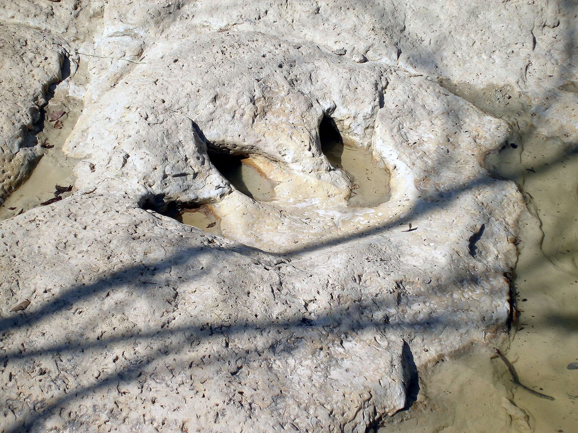
    A Paluxy River park near Glen Rose where 113-million-year-old dinosaur tracks appear in the limestone riverbed, backed by more than 20 miles of trails through rugged North Texas terrain.

    Best season: Spring and fall for hiking; track visibility depends on Paluxy River levels
    • Main Track Site and Ballroom Track Site in the Paluxy River bed
    • Tracks from sauropods and Acrocanthosaurus preserved in limestone
    • More than 20 miles of hiking and biking trails
    Explore this place

    Approx. 293 miles away

  • Bend · San Saba County

    Colorado Bend State Park

    A rugged Colorado River park northwest of Austin with 70-foot Gorman Falls, spring-fed pools, cave tours and more than 35 miles of hike-and-bike trails through limestone canyon country.

    Best season: Fall through spring for hiking; spring flow and recent rainfall can affect waterfalls and pools
    • Gorman Falls, a 70-foot spring-fed travertine waterfall
    • More than 35 miles of hiking and biking trails
    • Spicewood Springs pools and Colorado River access
    Explore this place

    Approx. 333 miles away

  • El Paso · El Paso County

    Franklin Mountains State Park

    A rugged mountain park rising directly through El Paso, with desert hiking, mountain biking, climbing and high overlooks across the city, Rio Grande valley and surrounding Chihuahuan Desert.

    Best season: October through April; summer hiking should be limited to cool hours
    • North Franklin Peak country
    • Desert hiking and mountain biking
    • Rock climbing
    Explore this place

    Approx. 348 miles away

Keep exploring the region

More in this part of Texas

Additional places from the same Texas region.

  • Lubbock · Lubbock County · Panhandle Plains

    Science Spectrum Museum & Aquarium

    Lubbock’s Science Spectrum combines hundreds of hands-on science exhibits and an OMNI theater with the city’s only public aquarium, including a Texas-focused Brazos River exhibit.

    Best season: Year-round; particularly useful as an indoor Lubbock family stop during extreme heat, cold or wind.Updated Aug 2026
    • Lubbock’s public aquarium
    • Texas Alive! Brazos River Journey
    • Hands-on science exhibits
    Explore this place

    Approx. 101 miles away

Read next

More from State Parks

State Parks

Down Into the Panhandle

A complete first-timer’s guide to the Lighthouse Trail at Palo Duro Canyon: distance, heat, water, timing, the final climb, and how to make the canyon a full day instead of one photograph.

August 20, 2026 · About 14 minutes

State Parks

The Texas State Park You Should Start With

There is no single best park. There is a best first park for the kind of Texas you want to understand — canyon, coast, granite, forest or river.

August 7, 2026 · About 4 minutes