Skip to content
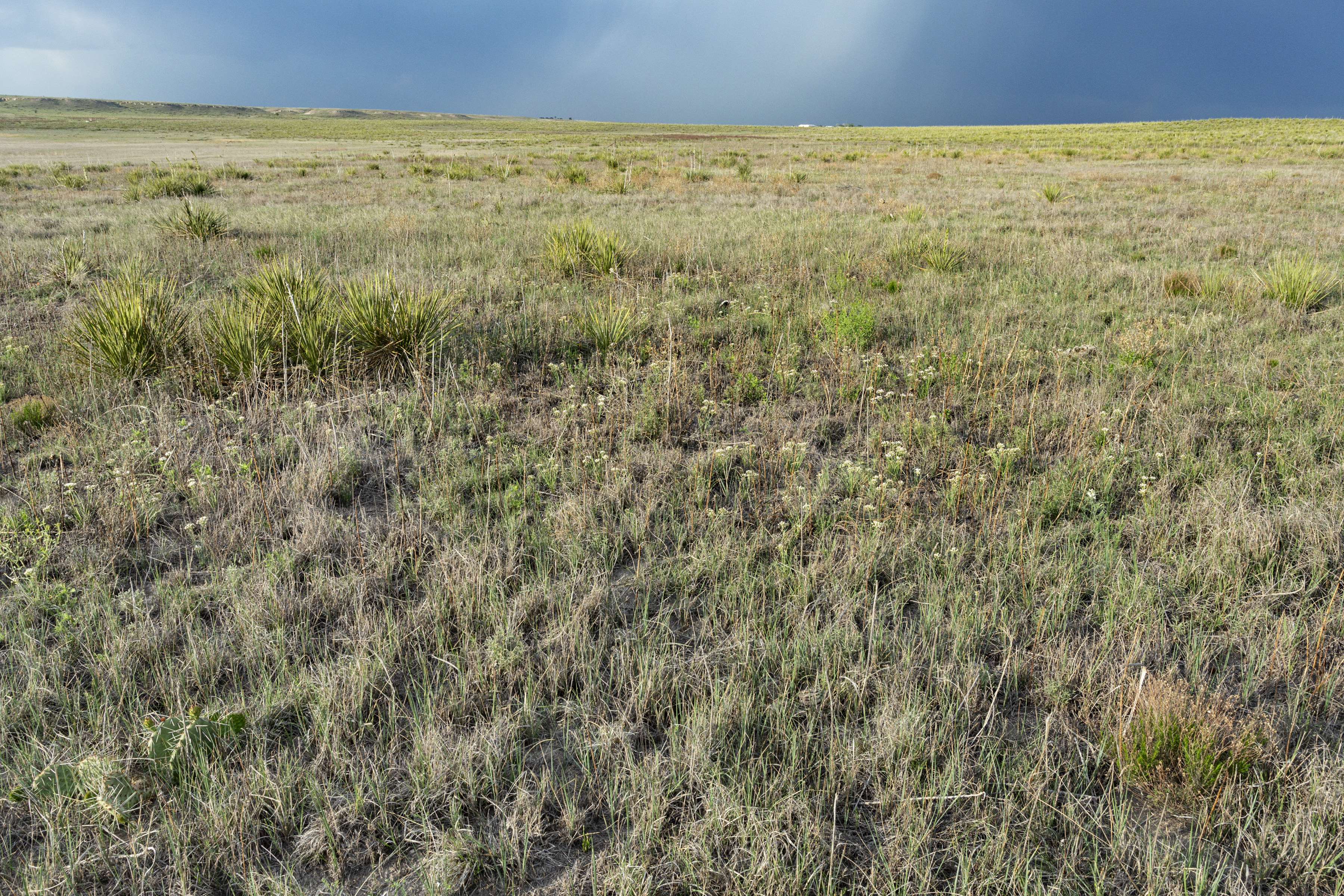
Prairie and playa landscape at Muleshoe National Wildlife Refuge on the Southern High Plains

Panhandle Plains · Outdoors & Wildlife

Muleshoe National Wildlife Refuge

Muleshoe National Wildlife Refuge on the western High Plains is Texas's oldest national wildlife refuge and is especially known for winter concentrations of lesser sandhill cranes around playa wetlands and native grasslands.

Photography: Wyman Meinzer · Public domain · U.S. Fish and Wildlife Service

Plan the visit

Muleshoe National Wildlife Refuge at a glance

Where is Muleshoe National Wildlife Refuge?
Muleshoe National Wildlife Refuge is near Muleshoe, Texas, in Bailey County.
When is the best time to visit Muleshoe National Wildlife Refuge?
Late fall through early spring for sandhill cranes; spring and fall for migration and milder hiking weather.
Do I need to plan ahead for Muleshoe National Wildlife Refuge?
This is a remote High Plains refuge with limited services. Check playa water conditions, weather, camping rules and seasonal hunting information before setting out.
Who manages Muleshoe National Wildlife Refuge?
U.S. Fish and Wildlife Service

The place

Why Muleshoe National Wildlife Refuge belongs on the list

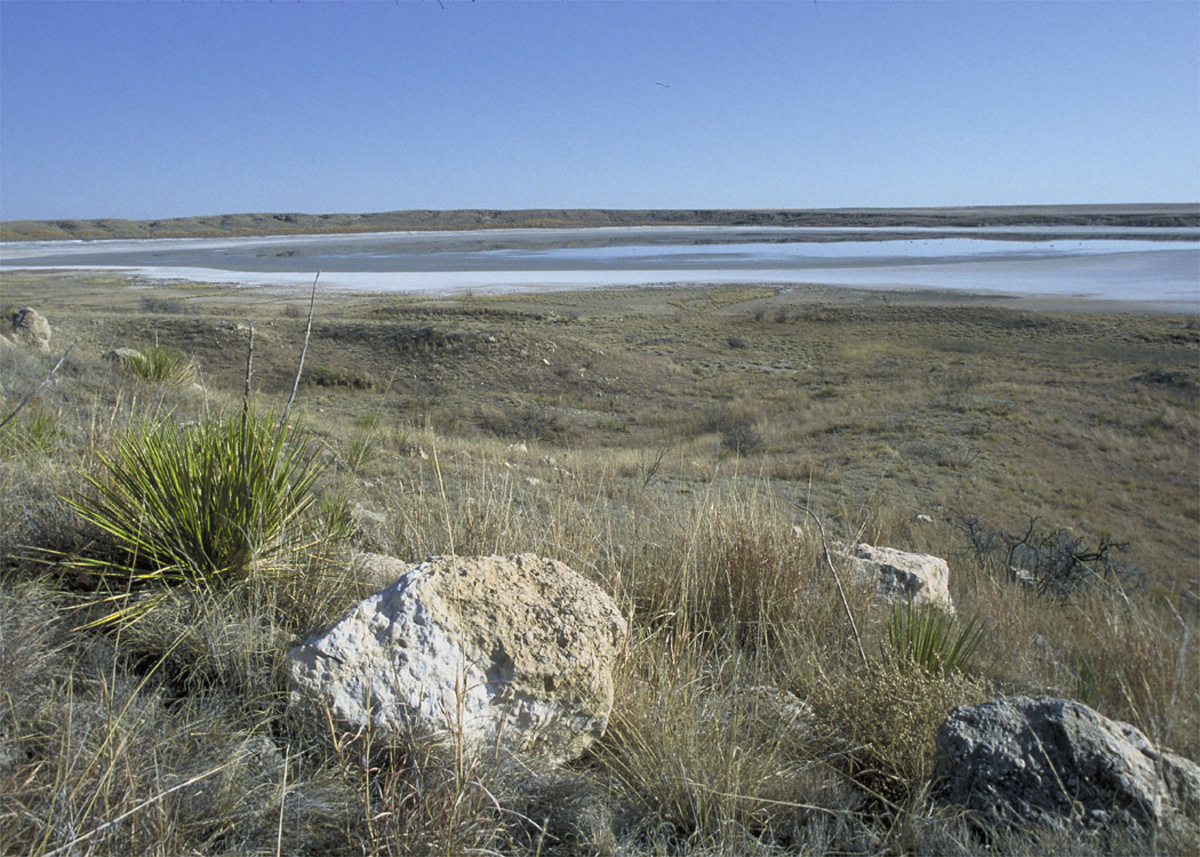
Established in 1935, Muleshoe is the oldest national wildlife refuge in Texas. Its conservation significance comes from the High Plains relationship between grassland and shallow playa basins, which can hold water episodically and become critical resting and feeding habitat for migratory birds.

The refuge is best known for large numbers of lesser sandhill cranes that use the area between fall and spring. The spectacle depends on weather, water and migration timing, so the experience varies from year to year rather than functioning like a fixed attraction.

Muleshoe's remoteness is part of its appeal. Visitors should expect wind, broad horizons, limited shade and fewer services than at a developed park, making advance fuel, water and weather planning important for photography, hiking or primitive camping.

The details

Plan the visit

Nearest town
Near Muleshoe, Texas
Best season
Late fall through early spring for sandhill cranes; spring and fall for migration and milder hiking weather.
Entry & reservations
This is a remote High Plains refuge with limited services. Check playa water conditions, weather, camping rules and seasonal hunting information before setting out.

Quick answer

Planning a visit to Muleshoe National Wildlife Refuge

What is Muleshoe National Wildlife Refuge?
Muleshoe National Wildlife Refuge on the western High Plains is Texas's oldest national wildlife refuge and is especially known for winter concentrations of lesser sandhill cranes around playa wetlands and native grasslands.
When is the best time to go?
Late fall through early spring for sandhill cranes; spring and fall for migration and milder hiking weather.
What should I know before arriving?
This is a remote High Plains refuge with limited services. Check playa water conditions, weather, camping rules and seasonal hunting information before setting out.
Where is it?
Near Muleshoe, Texas, in Bailey County.

Field notes

What to know before you go

Conditions, closures, fees and availability can change. Use these notes to plan, then confirm the latest details with the official site before making the drive.

Things to do

  • Texas's oldest national wildlife refuge
  • Hiking and primitive camping

Don’t miss

  • Lesser sandhill crane concentrations
  • High Plains playa wetlands

Good to know

  • Best time to go: Late fall through early spring for sandhill cranes; spring and fall for migration and milder hiking weather..
  • This is a remote High Plains refuge with limited services. Check playa water conditions, weather, camping rules and seasonal hunting information before setting out.

Build the trip

Places that pair well with this stop

Nearby places, worthwhile detours and combinations for adding water, history, outdoors or a full weekend around this destination.

Close enough for the same trip

Nearby places

Places ordered by straight-line distance when reliable coordinates are available.

  • Lubbock · Lubbock County

    Silent Wings Museum

    Lubbock's museum of the World War II military glider program, built on the former South Plains Army Air Field where American glider pilots trained.
    Best season: Year-round indoor museum. Spring and fall are the most comfortable seasons for combining the museum with outdoor Lubbock history stops.Updated Aug 2026
    • CG-4A glider
    • World War II glider pilots
    • South Plains Army Air Field
    Explore this place

    Approx. 57 miles away

  • Lubbock · Lubbock County · Panhandle Plains

    Science Spectrum Museum & Aquarium

    Lubbock’s Science Spectrum combines hundreds of hands-on science exhibits and an OMNI theater with the city’s only public aquarium, including a Texas-focused Brazos River exhibit.

    Best season: Year-round; particularly useful as an indoor Lubbock family stop during extreme heat, cold or wind.Updated Aug 2026
    • Lubbock’s public aquarium
    • Texas Alive! Brazos River Journey
    • Hands-on science exhibits
    Explore this place

    Approx. 59 miles away

  • Slaton · Lubbock County · Panhandle Plains

    Slaton Harvey House

    Built in 1912 for the Fred Harvey Company, the Mission Revival Harvey House served Santa Fe Railway passengers and employees on the South Plains. The restored building is a strong railroad-history stop near Lubbock and a reminder that Harvey Houses helped shape travel culture across the Southwest.

    Best season: Year-round; spring and fall are usually the most comfortable for outdoor portions of a visit.Updated Aug 2026
    • railroad history
    • Fred Harvey Company
    • South Plains
    Explore this place

    Approx. 73 miles away

Build a better day

Pair this stop with something different

Nearby parks, water, towns, history and outdoor places that complement this destination.

  • Canyon · Randall County · Panhandle Plains

    Palo Duro Canyon State Park

    The Panhandle's immense red-rock canyon state park, often called the Grand Canyon of Texas, with more than 30 miles of hiking, biking and equestrian trails, dramatic rim-to-floor drives, CCC history and the iconic Lighthouse formation near Canyon and Amarillo.

    Best season: Spring and fall for hiking; winter can be excellent on mild days, while summer requires early starts, heat awareness and frequent water breaks on exposed canyon trailsUpdated Aug 2026
    • Lighthouse Trail and the park's signature rock formation
    • Canyon rim overlooks and scenic drive to the floor
    • More than 30 miles of hiking, biking and equestrian trails
    Explore this place

    Approx. 94 miles away

  • Quitaque · Briscoe County · Panhandle Plains

    Caprock Canyons State Park & Trailway

    Red-rock canyon country beneath the Caprock Escarpment, home to the official Texas State Bison Herd, Lake Theo and a trail network that connects with a long converted-rail Trailway across the Panhandle.

    Best season: Spring and fall for hiking and biking; summer heat can be severe
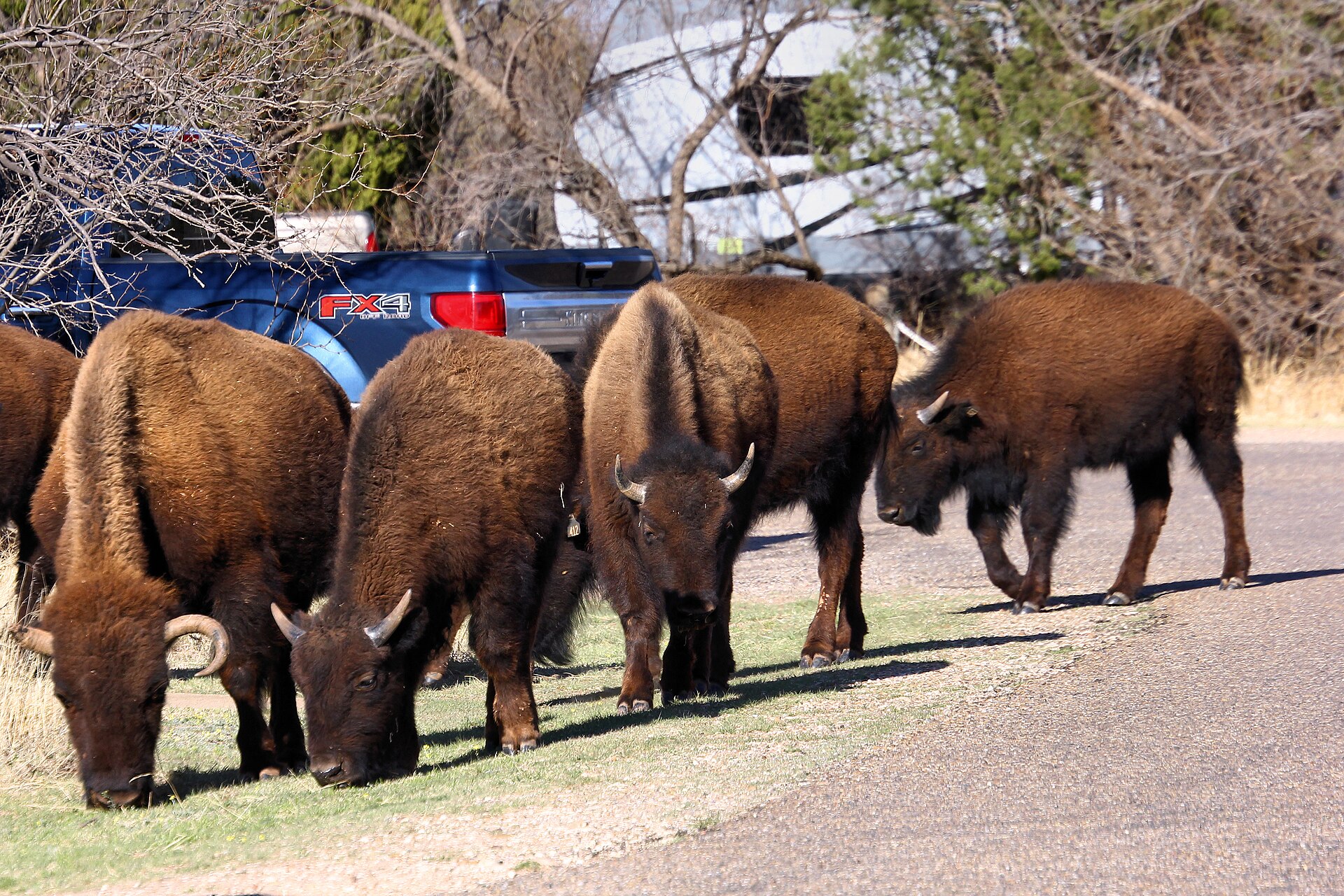
    • Official Texas State Bison Herd roaming restored prairie
    • Canyon trails and overlooks beneath the Caprock Escarpment
    • Caprock Canyons Trailway with bridges and historic Clarity Tunnel
    Explore this place

    Approx. 103 miles away

  • Fritch · Hutchinson County · Panhandle Plains

    Lake Meredith National Recreation Area

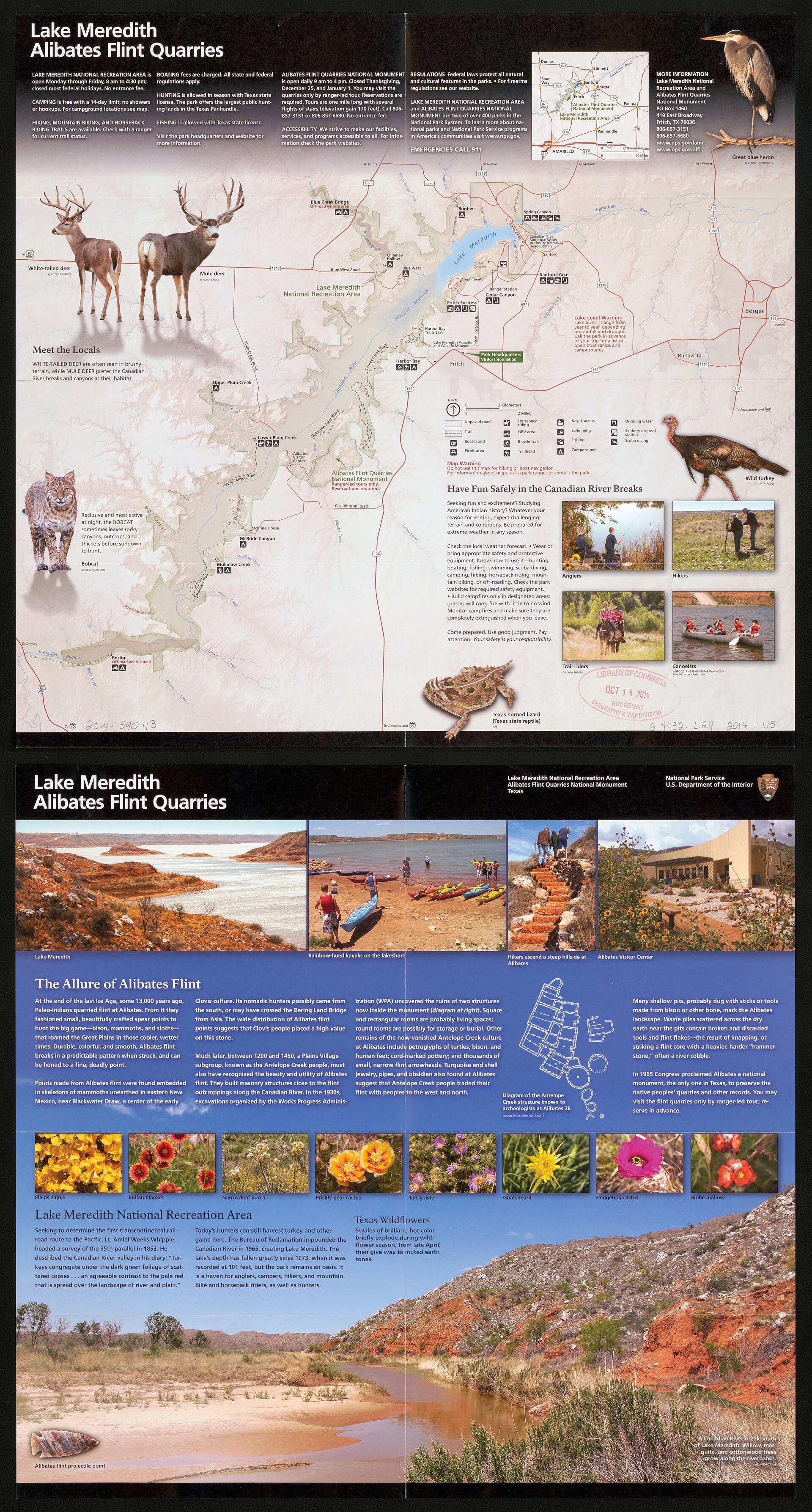
    A large Canadian River reservoir in the Texas Panhandle surrounded by breaks and dry plains, with free access to boating, fishing, swimming, hiking, camping and backcountry roads.

    Best season: Year-round; spring and fall are especially comfortable for hiking while summer favors water recreation
    • Lake Meredith boating and fishing
    • Free camping areas
    • Spring Canyon swimming area
    Explore this place

    Approx. 130 miles away

  • Big Spring · Howard County

    Big Spring State Park

    A compact West Texas park atop Scenic Mountain, where a CCC-built loop road and overlooks provide broad views across Big Spring and the surrounding plains.

    Best season: Fall through spring; sunrise and sunset are especially rewarding
    • Scenic Mountain overlooks
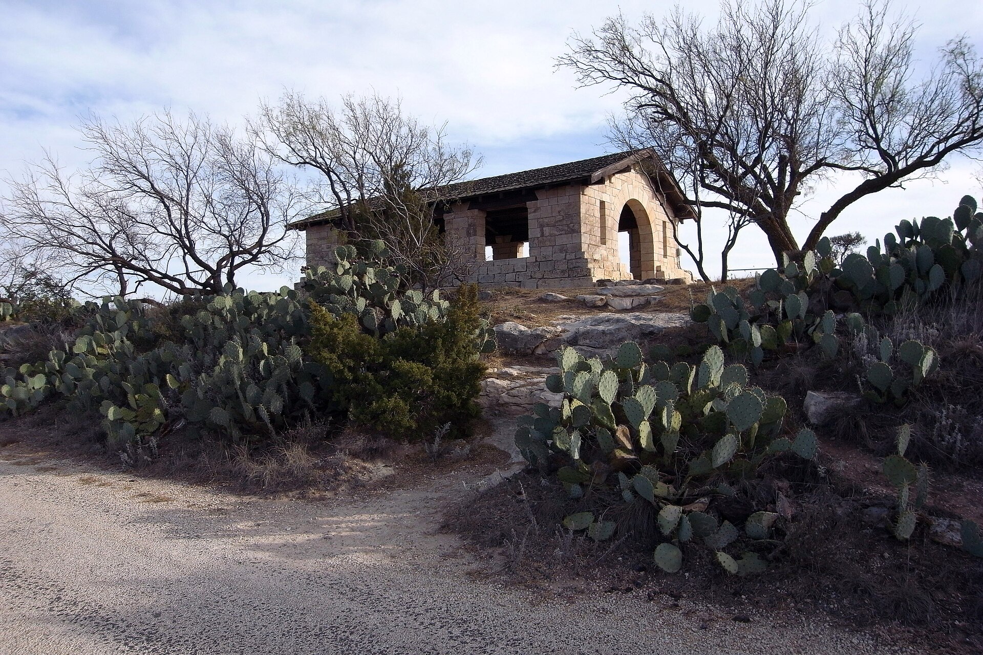
    • CCC-built loop road and stonework
    • Sunrise and sunset views
    Explore this place

    Approx. 140 miles away

  • Monahans · Ward County

    Monahans Sandhills State Park

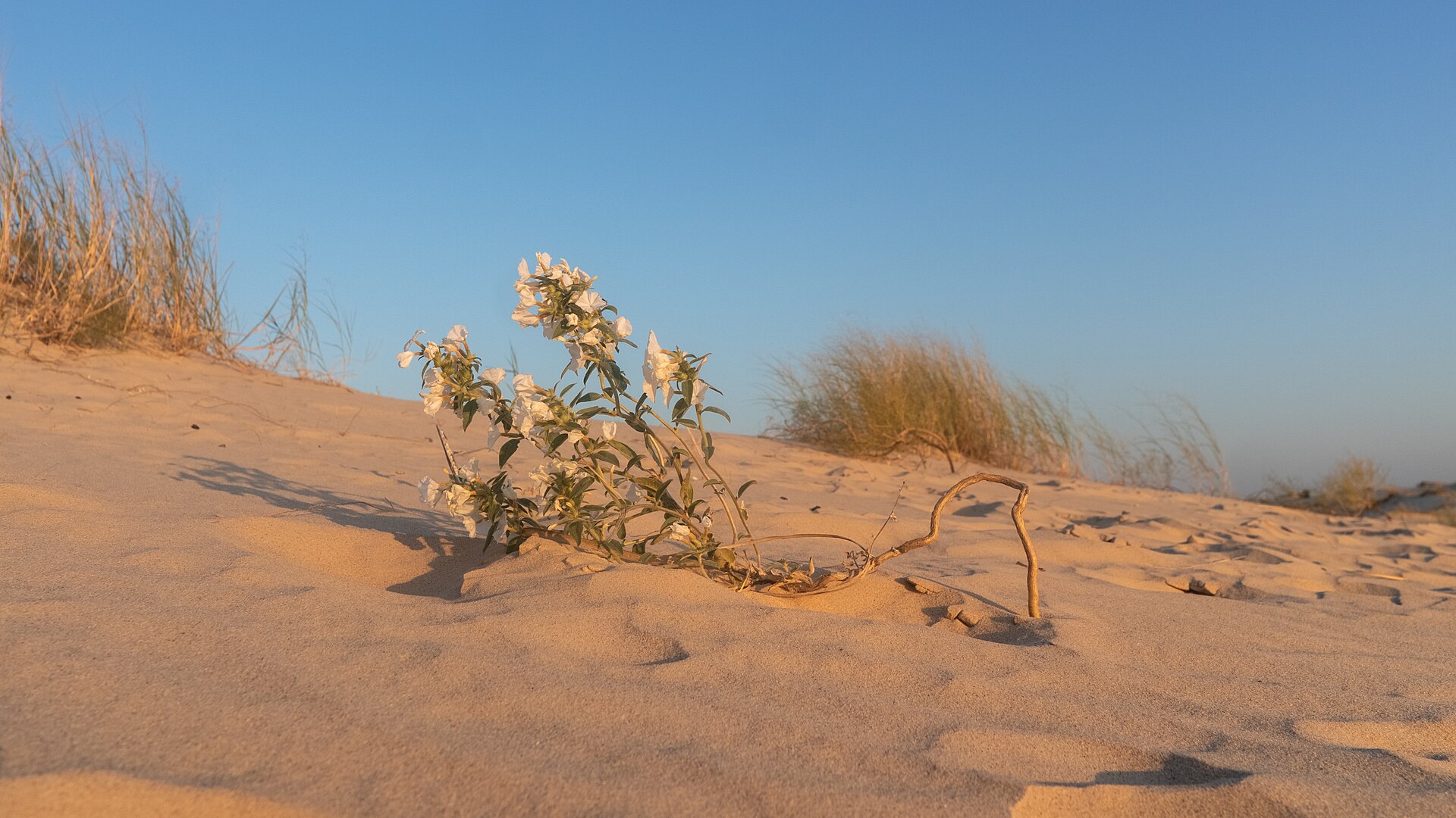
    A West Texas field of wind-shaped dunes where visitors can roam without marked trails, rent sand discs, camp beneath wide skies and watch the landscape change after every strong wind.

    Best season: Fall through spring for comfortable dune exploration; summer sand and air temperatures can be extreme
    • Open dune field shaped constantly by West Texas wind
    • Sand-disc rentals for sledding the dunes
    • No fixed trails, allowing free exploration across the sand
    Explore this place

    Approx. 161 miles away

  • Quanah · Hardeman County · Panhandle Plains

    Copper Breaks State Park

    Quiet red-earth breaks and rolling prairie near Quanah, known for dark skies, rugged short trails, Lake Copper Breaks and a landscape tied to the history of the Texas Longhorn herd.

    Best season: Fall through spring; clear moonless nights are best for stargazing
    • International Dark Sky setting and astronomy programs
    • Red-earth breaks and prairie trails
    • Lake Copper Breaks fishing and paddling
    Explore this place

    Approx. 173 miles away

Add some water

Nearby water stops

Lakes, rivers, springs and coastal places that can fit into the same trip.

  • Balmorhea · Reeves County

    Balmorhea State Park

    A West Texas oasis built around San Solomon Springs and the world’s largest spring-fed swimming pool, where clear 72-to-76-degree water fills a historic CCC-era park in the desert.

    Best season: Year-round for the spring-fed pool; summer is busiest, while spring and fall pair swimming with milder desert weather
    • 1.3-acre spring-fed swimming pool supplied by San Solomon Springs
    • Crystal-clear water typically 72 to 76 degrees year-round
    • Swimming and scuba diving in water up to about 25 feet deep
    Explore this place

    Approx. 216 miles away

  • Del Rio · Val Verde County

    Devils River State Natural Area

    A remote, exceptionally clear spring-fed river natural area in Southwest Texas with two reservation-only units—Del Norte and Dan A. Hughes—protecting rugged limestone canyon country and primitive backcountry access.

    Best season: Spring and fall for cooler backcountry travel; summer heat is severeUpdated Aug 2026
    • Del Norte Unit
    • Dan A. Hughes Unit
    • Clear spring-fed Devils River
    Explore this place

    Approx. 297 miles away

  • Junction · Kimble County

    South Llano River State Park

    A clear-river Hill Country park near Junction where swimming, tubing, paddling, turkey habitat, pecan bottomlands and miles of trails come together along the spring-fed South Llano River.

    Best season: Spring and fall for trails and river weather; summer for swimming and tubing with heat precautionsUpdated Sep 2026
    • South Llano River swimming and tubing
    • Multiple tuber put-in and take-out points
    • Paddling on the spring-fed river
    Explore this place

    Approx. 297 miles away

  • Lampasas · Lampasas County

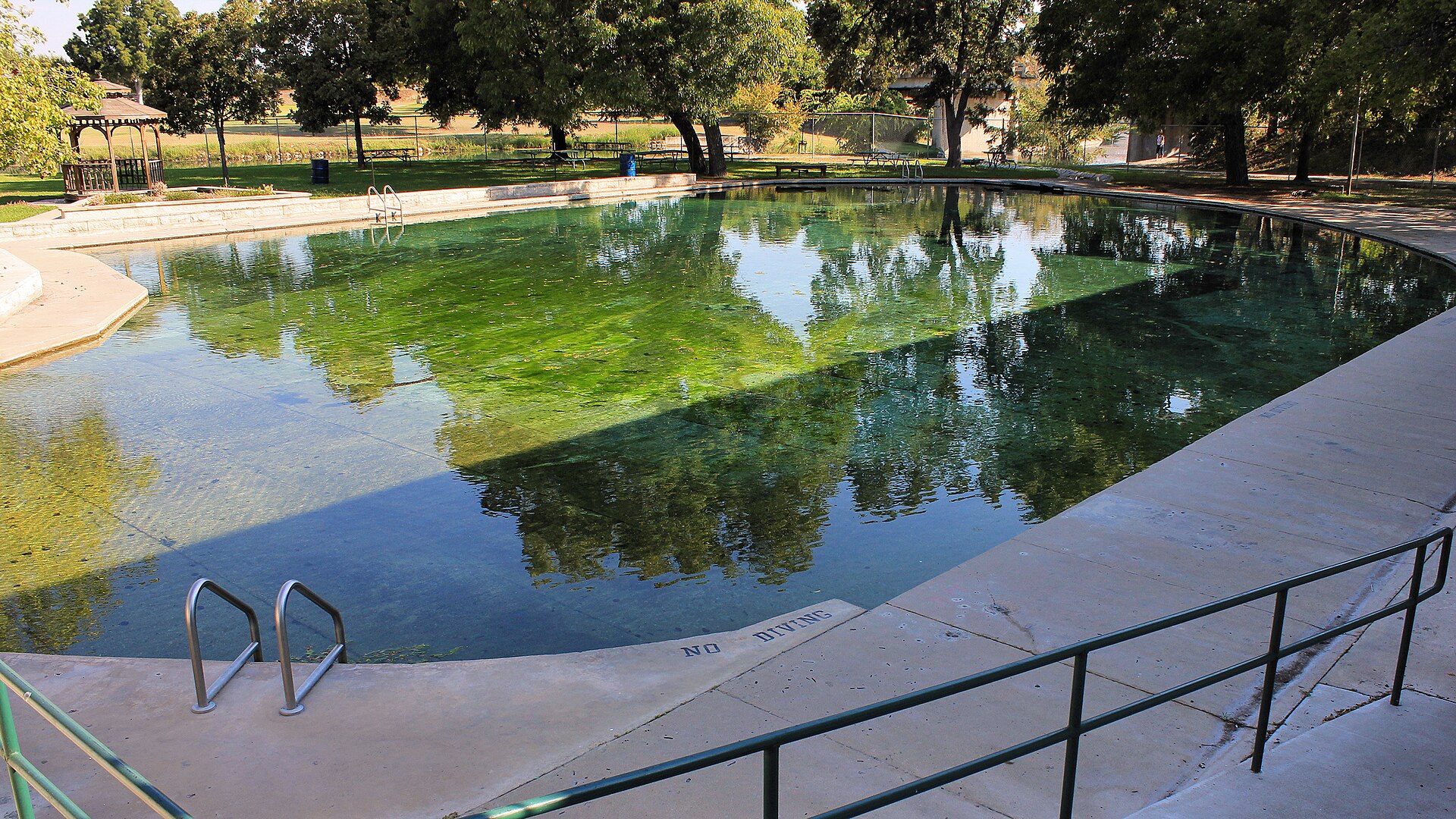
    Hancock Springs Park

    A historic spring-fed city park in Lampasas built around one of Texas' oldest continuously used public swimming pools, with cool artesian water, mature shade and a strong connection to the town's mineral-springs history.

    Best season: Late spring through summer for swimming; spring and fall for a quieter park visitUpdated Aug 2026
    • Spring-fed Hancock Springs Pool
    • Historic Lampasas mineral-springs setting
    • Picnic, playground and park facilities
    Explore this place

    Approx. 334 miles away

Add some Texas context

Historic stops nearby

Historic sites, small towns and road-trip stops that add context to the route.

  • Amarillo · Potter County · Panhandle Plains

    Cadillac Ranch

    Amarillo's landmark roadside-art installation of ten vintage Cadillacs buried nose-first in a Panhandle field, created by Ant Farm in 1974 and transformed by decades of visitor-applied paint into an ever-changing symbol of Route 66 car culture.

    Best season: Spring and fall for comfortable temperatures; sunrise and late afternoon give the flat Panhandle landscape its best light, while rain can turn the dirt approach muddyUpdated Aug 2026
    • Ten Cadillacs buried nose-first in a Panhandle field
    • Visitor-applied spray paint that continually changes the artwork
    • A defining roadside-art stop on the Route 66 corridor
    Explore this place

    Approx. 96 miles away

  • Goodnight · Armstrong County · Panhandle Plains

    Goodnight Ranch State Historic Site

    The ranch interprets Charles and Mary Ann Goodnight and the cattle, conservation and business history of the Texas Panhandle. It is a natural companion to Palo Duro Canyon for visitors interested in how ranching transformed the Southern Plains.

    Best season: Year-round; spring and fall are usually the most comfortable for outdoor portions of a visit.Updated Aug 2026
    • Charles Goodnight
    • ranching
    • Panhandle history
    Explore this place

    Approx. 117 miles away

  • Fritch · Potter County · Panhandle Plains

    Alibates Flint Quarries National Monument

    A Texas Panhandle national monument preserving multicolored flint quarries used for at least 13,000 years, explored through a visitor center and reservation-only ranger hikes above Lake Meredith country.

    Best season: April through October for the main ranger-program season; shoulder months can be cooler for outdoor walks
    • Ancient Alibates flint quarries
    • Reservation-only ranger quarry hike
    • Visitor center and museum exhibits
    Explore this place

    Approx. 128 miles away

  • Midland · Midland County

    Bush Family Home State Historic Site

    The Midland home preserves the West Texas years of a family that would produce presidents, governors, a vice president and two first and second ladies. The house gives presidential history a domestic West Texas setting and helps explain how Midland's postwar boom shaped the Bush family's early years.

    Best season: Year-round; spring and fall are usually the most comfortable for outdoor portions of a visit.Updated Aug 2026
    • presidential history
    • Midland
    • 20th-century Texas
    Explore this place

    Approx. 140 miles away

Keep the day outside

More outdoors nearby

Parks, caverns and outdoor destinations that pair naturally with this stop.

  • Umbarger · Randall County · Panhandle Plains

    Buffalo Lake National Wildlife Refuge

    Buffalo Lake National Wildlife Refuge south of Umbarger protects more than 7,600 acres of High Plains grassland and playa-country habitat where a former reservoir is now largely dry but wildlife viewing remains the central attraction.

    Best season: Spring and fall for migration and moderate temperatures; winter can bring raptors and open-country birds.Updated Sep 2026
    • High Plains grasslands
    • Prairie dogs and grassland birds
    • Auto-tour road
    Explore this place

    Approx. 75 miles away

More like this

People also visit

Similar destinations, favoring the same region and the shortest available distance.

  • Glen Rose · Somervell County

    Fossil Rim Wildlife Center

    A drive-through conservation center near Glen Rose where giraffes, rhinos, antelope and other species roam large Hill Country pastures tied to endangered-species breeding and education.

    Best season: Fall through spring for cooler driving and more active animalsUpdated Sep 2026
    • Drive-through wildlife safari
    • Giraffe and rhino encounters
    • Conservation breeding programs
    Explore this place

    Approx. 312 miles away

  • Fort Worth · Tarrant County

    Fort Worth Zoo

    Fort Worth Zoo’s aquatic side includes the Great Barrier Reef habitat, where saltwater tanks showcase Australian fish, corals, invertebrates, eels and blacktip reef sharks.

    Best season: Fall through spring for comfortable walking; in summer, arrive early and use indoor or shaded habitats during the hottest hours.Updated Aug 2026
    • Great Barrier Reef habitat
    • Blacktip reef sharks
    • Australian aquatic wildlife
    Explore this place

    Approx. 323 miles away

  • Terlingua

    Chisos Basin, Big Bend

    The mountain heart of Big Bend National Park, where the Chisos rise above the Chihuahuan Desert and major trails begin from a high-elevation basin surrounded by cliffs and iconic views.

    Best season: Fall through spring for the broadest hiking comfort; always check current heat, weather and access alertsUpdated Aug 2026
    • Window View and Window Trail scenery
    • High-elevation Chisos Mountains hiking
    • Big Bend National Park dark skies
    Explore this place

    Approx. 325 miles away

  • Dallas · Dallas County

    Dallas Arboretum and Botanical Garden

    A 66-acre botanical garden on the shore of White Rock Lake, known for large seasonal flower displays, formal garden rooms, mature trees, the Rory Meyers Children's Adventure Garden and changing spring and autumn festivals just east of Downtown Dallas.

    Best season: Spring for major flower displays and fall for cooler weather and seasonal gardens; summer is best near opening before afternoon heat buildsUpdated Aug 2026
    • Sixty-six acres of formal and seasonal gardens
    • White Rock Lake views and mature landscape
    • Rory Meyers Children's Adventure Garden
    Explore this place

    Approx. 357 miles away

  • Austin · Travis County

    Lady Bird Johnson Wildflower Center

    The University of Texas at Austin's native-plant botanical garden in South Austin, where designed gardens, prairie restoration, an arboretum, family garden and nature trails show how Texas wildflowers and native landscapes can be beautiful, resilient and ecologically useful year-round.

    Best season: Spring for wildflowers, fall for comfortable trails and native grasses, and year-round for designed native gardens; bloom timing always depends on weather rather than a fixed calendar dateUpdated Aug 2026
    • Texas native-plant gardens and ecological landscape design
    • Seasonal wildflower displays and bluebonnet areas
    • Texas Arboretum and walking trails
    Explore this place

    Approx. 387 miles away

  • Austin · Travis County

    Barton Creek Greenbelt

    Austin's limestone-lined urban wilderness, with more than 12 miles of shared-use trail, multiple trailheads, swimming holes when water is flowing, climbing areas and rugged Hill Country terrain inside the city.

    Best season: Fall through spring for hiking and biking; swimming conditions depend on recent rainfall, so water may be low or absent during dry periods.Updated Sep 2026
    • More than 12 miles of trail
    • Limestone cliffs and rugged Hill Country terrain
    • Multiple swimming holes when Barton Creek is flowing
    Explore this place

    Approx. 387 miles away