Skip to content
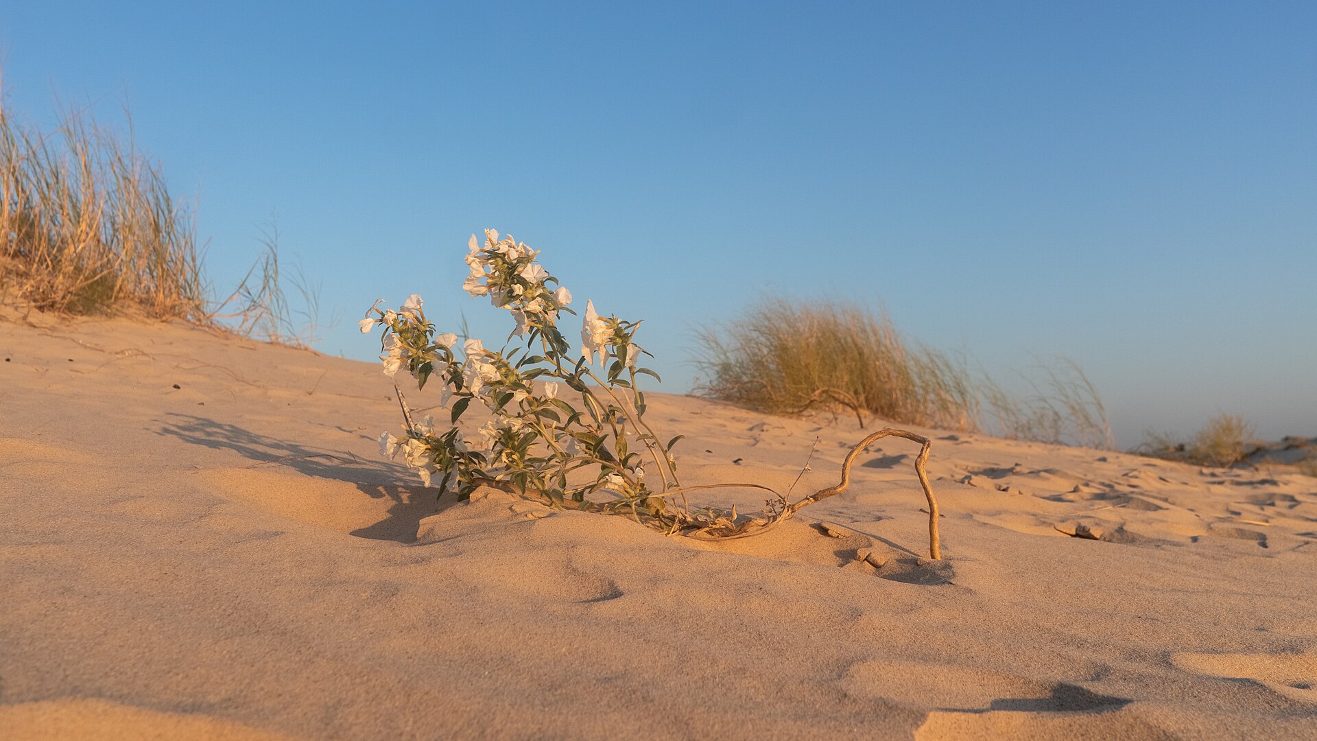
Sand dunes at Monahans Sandhills State Park in West Texas

Big Bend Country · RV Parks & Campgrounds

Monahans Sandhills State Park RV Area

Monahans Sandhills State Park RV Area provides 25 water-and-electric campsites beside a shifting West Texas dune field, with sand-disk sledding, open dune exploration and an 800-acre equestrian area near Interstate 20.

Photography: Alexander Hatley · CC BY 2.0 · Wikimedia Commons · https://commons.wikimedia.org/wiki/File:USA_-_Texas_-_Monahans_Sandhills_State_Park.jpg

Plan the visit

Monahans Sandhills State Park RV Area at a glance

Where is Monahans Sandhills State Park RV Area?
Monahans Sandhills State Park RV Area is near Monahans, Texas, in Ward County.
When is the best time to visit Monahans Sandhills State Park RV Area?
TPWD lists September through March as the busy season. Summer dune surfaces heat quickly, so cooler-season camping is especially practical; check current weather and park alerts before crossing West Texas.
Do I need to plan ahead for Monahans Sandhills State Park RV Area?
Enter from Interstate 20 at Park Road 41 near Monahans. TPWD lists 25 campsites with water and electricity; reserve ahead and confirm the assigned site's electrical service and current heat or wind conditions.
Who manages Monahans Sandhills State Park RV Area?
Texas Parks and Wildlife Department

The place

Why Monahans Sandhills State Park RV Area belongs on the list

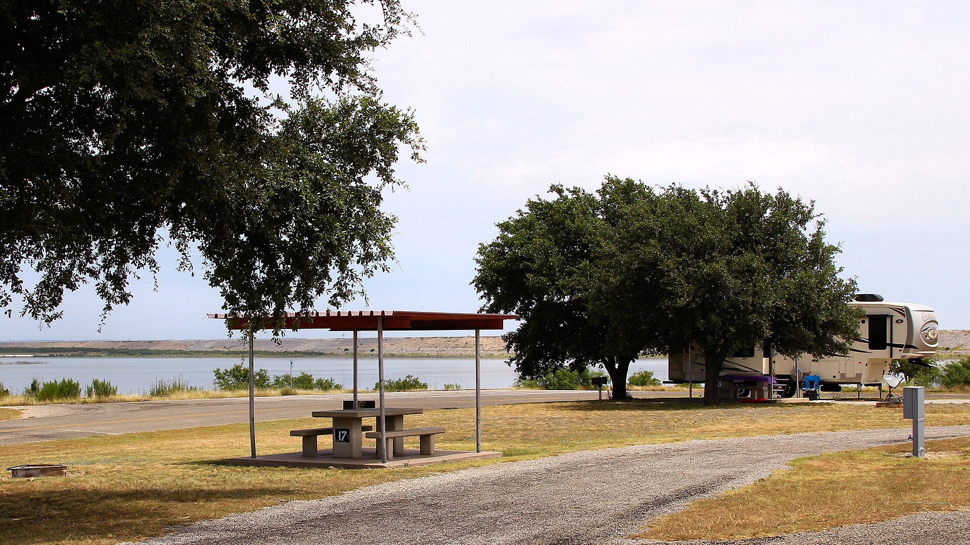
Monahans Sandhills State Park offers a very different RV stop from Texas's lake and forest campgrounds. TPWD currently lists 25 developed campsites with water and electricity, with restrooms and showers nearby. The park sits just off Interstate 20, making it a practical overnight base for West Texas travel while still providing a destination experience rather than only a roadside place to park.

The dunes are the attraction. TPWD allows visitors to explore the sand without marked hiking trails and rents sand disks for sliding the slopes. The agency warns that dune surfaces heat quickly in summer and that visitors need to keep track of their route because the wind-shaped landscape lacks conventional trail markers. An 800-acre equestrian area adds another use, with separate horse-entry requirements that should be checked before arrival.

TPWD identifies September through March as the busy season and recommends reservations because the park can reach capacity. Before towing in, verify the assigned campsite, current electrical details, weather and wind, and any active park alerts. The profile image depicts Monahans Sandhills State Park itself and is retained with its open-license source and creator attribution.

The details

Plan the visit

Nearest town
Near Monahans, Texas
Best season
TPWD lists September through March as the busy season. Summer dune surfaces heat quickly, so cooler-season camping is especially practical; check current weather and park alerts before crossing West Texas.
Address
101 Park Road 41, Monahans, TX 79756
Entry & reservations
Enter from Interstate 20 at Park Road 41 near Monahans. TPWD lists 25 campsites with water and electricity; reserve ahead and confirm the assigned site's electrical service and current heat or wind conditions.

Quick answer

Planning a visit to Monahans Sandhills State Park RV Area

What is Monahans Sandhills State Park RV Area?
Monahans Sandhills State Park RV Area provides 25 water-and-electric campsites beside a shifting West Texas dune field, with sand-disk sledding, open dune exploration and an 800-acre equestrian area near Interstate 20.
When is the best time to go?
TPWD lists September through March as the busy season. Summer dune surfaces heat quickly, so cooler-season camping is especially practical; check current weather and park alerts before crossing West Texas.
What should I know before arriving?
Enter from Interstate 20 at Park Road 41 near Monahans. TPWD lists 25 campsites with water and electricity; reserve ahead and confirm the assigned site's electrical service and current heat or wind conditions.
Where is it?
Near Monahans, Texas, in Ward County.

Field notes

What to know before you go

Conditions, closures, fees and availability can change. Use these notes to plan, then confirm the latest details with the official site before making the drive.

What you’ll find

  • 25 water-and-electric campsites
  • Sand-disk rentals and an 800-acre equestrian area

Don’t miss

  • Open exploration of wind-shaped sand dunes

Good to know

  • Best time to go: TPWD lists September through March as the busy season. Summer dune surfaces heat quickly, so cooler-season camping is especially practical; check current weather and park alerts before crossing West Texas..
  • Enter from Interstate 20 at Park Road 41 near Monahans. TPWD lists 25 campsites with water and electricity; reserve ahead and confirm the assigned site's electrical service and current heat or wind conditions.

Build the trip

Places that pair well with this stop

Nearby places, worthwhile detours and combinations for adding water, history, outdoors or a full weekend around this destination.

Close enough for the same trip

Nearby places

Places ordered by straight-line distance when reliable coordinates are available.

  • Monahans · Ward County · Big Bend Country

    Monahans Sandhills State Park

    A West Texas field of wind-shaped dunes where visitors can roam without marked trails, rent sand discs, camp beneath wide skies and watch the landscape change after every strong wind.

    Best season: Fall through spring for comfortable dune exploration; summer sand and air temperatures can be extreme
    • Open dune field shaped constantly by West Texas wind
    • Sand-disc rentals for sledding the dunes
    • No fixed trails, allowing free exploration across the sand
    Explore this place

    Approx. 1 miles away

  • Pecos · Reeves County · Big Bend Country

    Pecos

    Pecos is a Trans-Pecos crossroads and rodeo-history town on I-20, known for its 1883 rodeo tradition, Reeves County Courthouse, western trails, Pecos Bill lore, public art and a growing visitor-services role between Midland-Odessa, the Davis Mountains and far West Texas.

    Best season: Fall through spring for outdoor walking and West Texas road trips; rodeo and festival dates for the strongest event atmosphere; summer with heat precautionsUpdated Sep 2026
    • world's-first-rodeo tradition
    • Reeves County Courthouse
    • western trail history
    Explore this place

    Approx. 42 miles away

  • Midland · Midland County · Big Bend Country

    Bush Family Home State Historic Site

    The Midland home preserves the West Texas years of a family that would produce presidents, governors, a vice president and two first and second ladies. The house gives presidential history a domestic West Texas setting and helps explain how Midland's postwar boom shaped the Bush family's early years.

    Best season: Year-round; spring and fall are usually the most comfortable for outdoor portions of a visit.Updated Aug 2026
    • presidential history
    • Midland
    • 20th-century Texas
    Explore this place

    Approx. 50 miles away

  • Balmorhea · Reeves County · Big Bend Country

    Balmorhea State Park

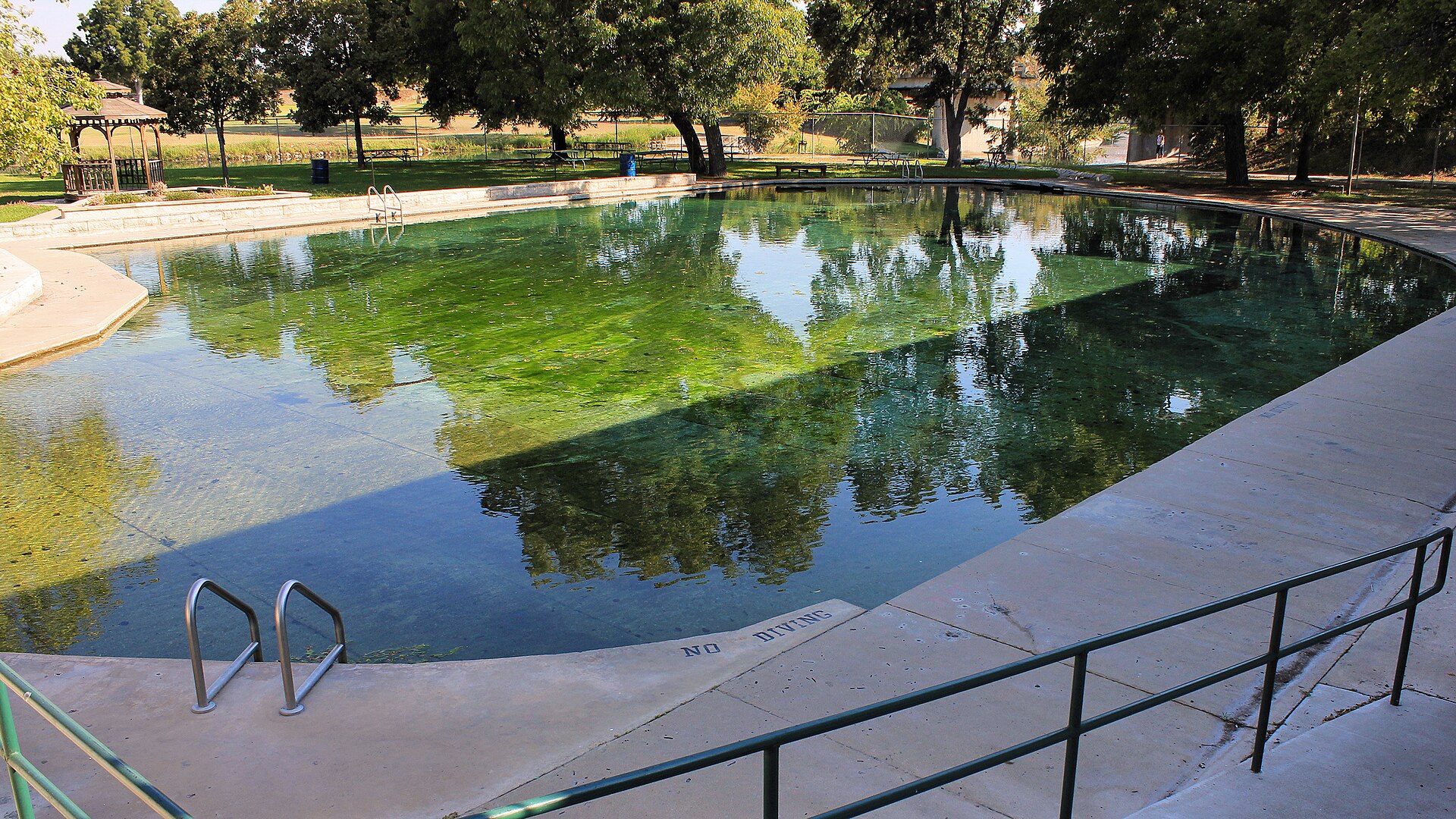
    A West Texas oasis built around San Solomon Springs and the world’s largest spring-fed swimming pool, where clear 72-to-76-degree water fills a historic CCC-era park in the desert.

    Best season: Year-round for the spring-fed pool; summer is busiest, while spring and fall pair swimming with milder desert weather
    • 1.3-acre spring-fed swimming pool supplied by San Solomon Springs
    • Crystal-clear water typically 72 to 76 degrees year-round
    • Swimming and scuba diving in water up to about 25 feet deep
    Explore this place

    Approx. 74 miles away

Add some water

Nearby water stops

Lakes, rivers, springs and coastal places that can fit into the same trip.

  • Del Rio · Val Verde County · Big Bend Country

    Devils River State Natural Area

    A remote, exceptionally clear spring-fed river natural area in Southwest Texas with two reservation-only units—Del Norte and Dan A. Hughes—protecting rugged limestone canyon country and primitive backcountry access.

    Best season: Spring and fall for cooler backcountry travel; summer heat is severeUpdated Aug 2026
    • Del Norte Unit
    • Dan A. Hughes Unit
    • Clear spring-fed Devils River
    Explore this place

    Approx. 160 miles away

  • Junction · Kimble County

    South Llano River State Park

    A clear-river Hill Country park near Junction where swimming, tubing, paddling, turkey habitat, pecan bottomlands and miles of trails come together along the spring-fed South Llano River.

    Best season: Spring and fall for trails and river weather; summer for swimming and tubing with heat precautionsUpdated Sep 2026
    • South Llano River swimming and tubing
    • Multiple tuber put-in and take-out points
    • Paddling on the spring-fed river
    Explore this place

    Approx. 196 miles away

  • Lampasas · Lampasas County

    Hancock Springs Park

    A historic spring-fed city park in Lampasas built around one of Texas' oldest continuously used public swimming pools, with cool artesian water, mature shade and a strong connection to the town's mineral-springs history.

    Best season: Late spring through summer for swimming; spring and fall for a quieter park visitUpdated Aug 2026
    • Spring-fed Hancock Springs Pool
    • Historic Lampasas mineral-springs setting
    • Picnic, playground and park facilities
    Explore this place

    Approx. 276 miles away

  • Blanco · Blanco County

    Blanco State Park

    A small Hill Country park wrapped around a mile of the Blanco River, with limestone dams, swimming, fishing, paddling and shaded picnic areas within walking distance of downtown Blanco.

    Best season: Late spring through early fall for river time; fall and spring for picnics and fishing
    • Blanco River swimming and wading
    • Historic limestone river dams
    • Fishing and paddling
    Explore this place

    Approx. 281 miles away

Add some Texas context

Historic stops nearby

Historic sites, small towns and road-trip stops that add context to the route.

  • Sheffield · Crockett County · Big Bend Country

    Fort Lancaster State Historic Site

    Established in 1855, Fort Lancaster protected a strategic overland route linking San Antonio and El Paso across West Texas. The isolated ruins make the scale, distance and logistical difficulty of 19th-century travel across the Edwards Plateau immediately understandable.

    Best season: Year-round; spring and fall are usually the most comfortable for outdoor portions of a visit.Updated Aug 2026
    • frontier forts
    • San Antonio-El Paso road
    • West Texas
    Explore this place

    Approx. 93 miles away

  • Fort Davis · Jeff Davis County · Big Bend Country

    Fort Davis National Historic Site

    One of the Southwest's best-preserved frontier Army posts, set beneath the Davis Mountains with restored barracks, officers' quarters and exhibits interpreting soldiers, civilians and Buffalo Soldiers on the nineteenth-century Texas frontier.

    Best season: Fall through spring for mild temperatures; summer mornings are more comfortable for walking the open post grounds
    • Restored frontier military buildings
    • Buffalo Soldier history
    • Davis Mountains setting
    Explore this place

    Approx. 95 miles away

  • Alpine · Brewster County · Big Bend Country

    Alpine

    A high-desert college town beneath the Davis Mountains, serving as a practical Big Bend base with galleries, local food, Sul Ross State University and quick access to scenic West Texas drives.

    Best season: Fall through spring for regional exploring; summer afternoons are hot but elevation moderates nightsUpdated Sep 2026
    • Museum of the Big Bend
    • Sul Ross State University
    • Walkable downtown
    Explore this place

    Approx. 101 miles away

  • Marfa · Presidio County · Big Bend Country

    Marfa

    A tiny Trans-Pecos town where contemporary art, ranching history, minimalist architecture and huge desert skies create one of Texas' most distinctive cultural destinations.

    Best season: Fall through spring; summer days are hot and winter nights can be coldUpdated Sep 2026
    • Chinati Foundation
    • Contemporary art and architecture
    • Marfa Lights viewing area
    Explore this place

    Approx. 115 miles away

Keep the day outside

More outdoors nearby

Parks, caverns and outdoor destinations that pair naturally with this stop.

  • Big Spring · Howard County · Big Bend Country

    Big Spring State Park

    A compact West Texas park atop Scenic Mountain, where a CCC-built loop road and overlooks provide broad views across Big Spring and the surrounding plains.

    Best season: Fall through spring; sunrise and sunset are especially rewarding
    • Scenic Mountain overlooks
    • CCC-built loop road and stonework
    • Sunrise and sunset views
    Explore this place

    Approx. 88 miles away

  • Salt Flat · Culberson County · Big Bend Country

    Guadalupe Mountains National Park

    A remote West Texas national park protecting the fossilized Capitan Reef, Guadalupe Peak—the highest point in Texas—McKittrick Canyon, El Capitan and rugged desert-to-mountain trails near the New Mexico line.

    Best season: Spring and fall for hiking; fall is especially popular for McKittrick Canyon color, while winter can bring strong winds and summer demands conservative heat planningUpdated Aug 2026
    • Guadalupe Peak, the highest point in Texas
    • El Capitan and the exposed fossilized Capitan Reef
    • McKittrick Canyon and fall foliage
    Explore this place

    Approx. 120 miles away

  • San Angelo · Tom Green County · Big Bend Country

    San Angelo State Park

    A large Concho Valley park on O.C. Fisher Reservoir with miles of hiking, biking and equestrian trails, wildlife habitat and a landscape tied to the official Texas State Longhorn Herd.

    Best season: Fall through spring; summer heat can be severe
    • Extensive hiking, biking and equestrian trails
    • Texas State Longhorn Herd connection
    • O.C. Fisher Reservoir
    Explore this place

    Approx. 136 miles away

  • Sonora · Sutton County · Big Bend Country

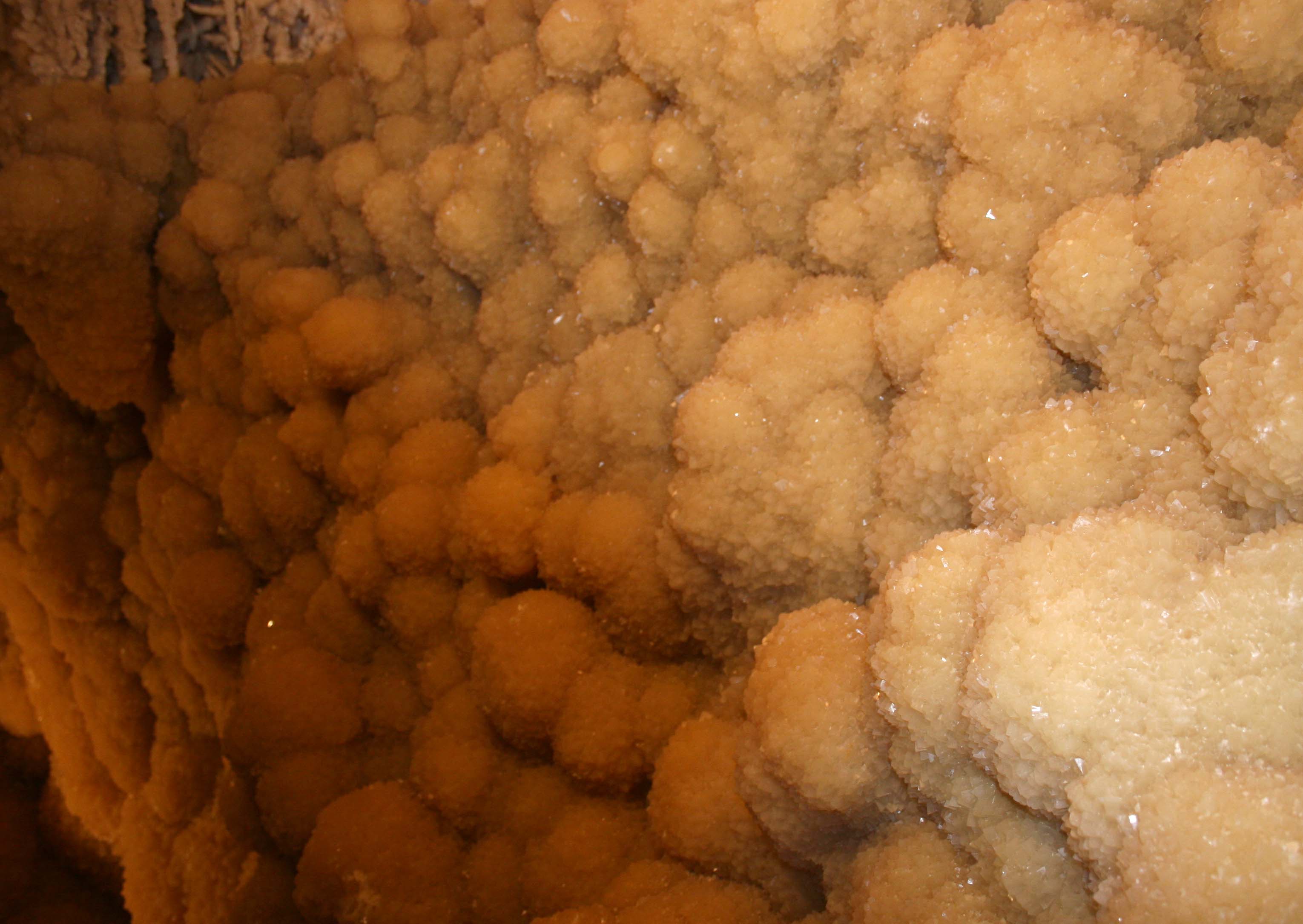
    Caverns of Sonora

    A highly decorated show cave 15 miles southwest of Sonora where intimate guided tours descend through crystal-rich limestone passages, dense speleothems and warm, humid rooms 155 feet below the surface.

    Best season: Year-round; the cavern stays about 72°F with roughly 98% humidityUpdated Sep 2026
    • Crystal Palace guided tour
    • Dense crystal formations and helictites
    • Discovery Challenge adventure caving
    Explore this place

    Approx. 139 miles away

Keep exploring the region

More in this part of Texas

Additional places from the same Texas region.

  • Terlingua · Brewster County · Big Bend Country

    Big Bend National Park

    A vast Chihuahuan Desert national park where the Rio Grande, the Chisos Mountains and some of Texas's most dramatic canyon country meet, with scenic drives, long-distance hiking, dark skies and enough geographic range to reward several days rather than a single overlook stop.

    Best season: Fall through spring for hiking and lower-elevation exploring; summer heat can be extreme, so warm-season plans should favor early starts, higher elevations and conservative distancesUpdated Aug 2026
    • Santa Elena Canyon and the Rio Grande
    • Chisos Basin, the Window and high-country trails
    • Ross Maxwell Scenic Drive and desert geology
    Explore this place

    Approx. 160 miles away

  • El Paso · El Paso County · Big Bend Country

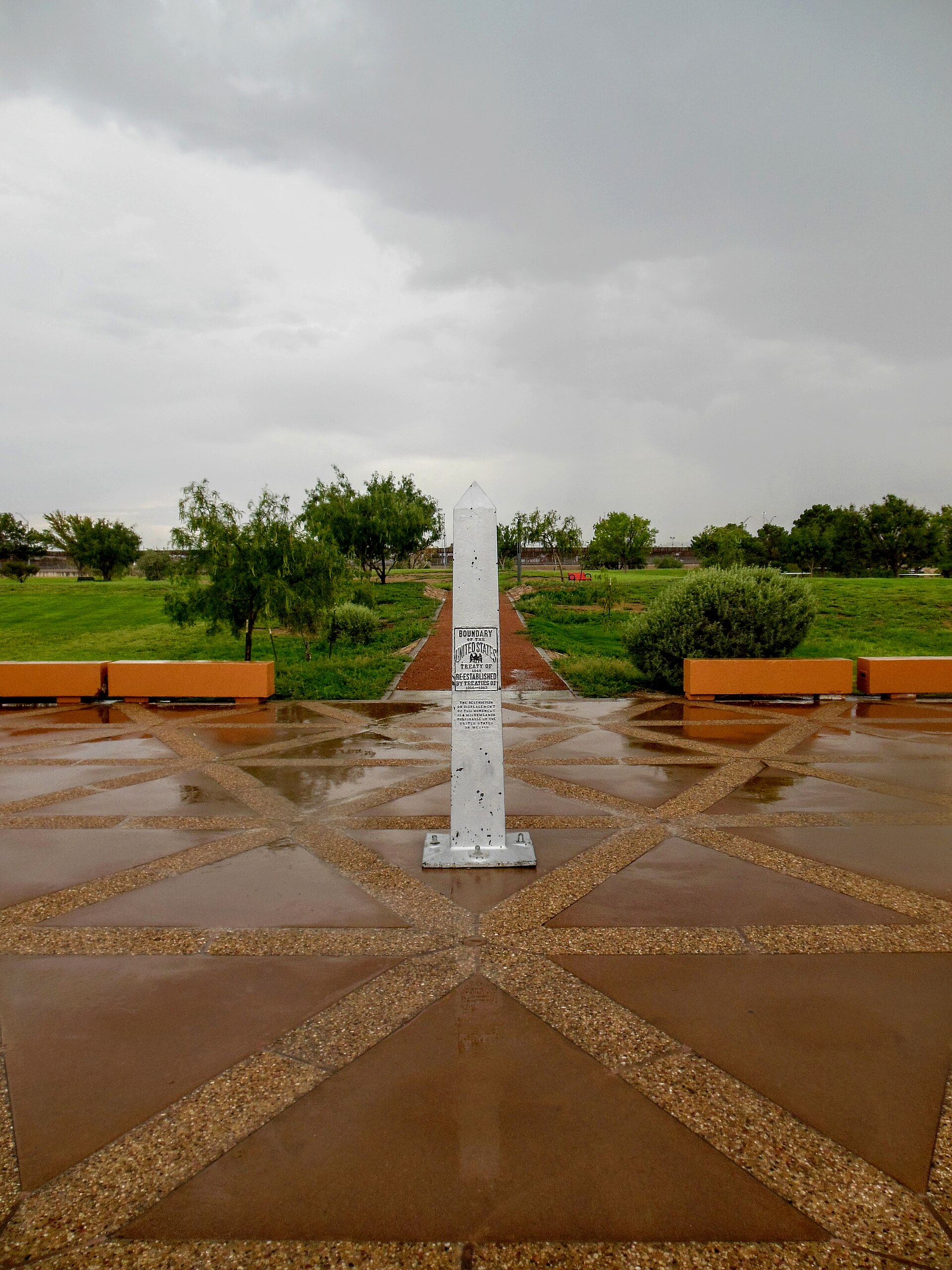
    Chamizal National Memorial

    An El Paso national memorial telling the story of a century-long U.S.–Mexico boundary dispute resolved peacefully in 1963, with museum exhibits, cultural programs and broad lawns beside the international border.

    Best season: Fall through spring for comfortable outdoor walking; indoor exhibits make the site useful year-round
    • U.S.–Mexico boundary history
    • Chamizal Cultural Center and museum
    • Public art and performance programs
    Explore this place

    Approx. 214 miles away

  • Presidio · Presidio County · Big Bend Country

    Big Bend Ranch State Park

    Texas' largest state park, stretching through remote Chihuahuan Desert mountains, canyons and Rio Grande country west of Presidio with rugged roads, trails and primitive camps.

    Best season: October through April; summer heat can be dangerous
    • Rio Grande canyon country
    • Remote Chihuahuan Desert backcountry
    • Hiking, mountain biking and horseback riding
    Explore this place

    Approx. 162 miles away

  • El Paso · El Paso County · Big Bend Country

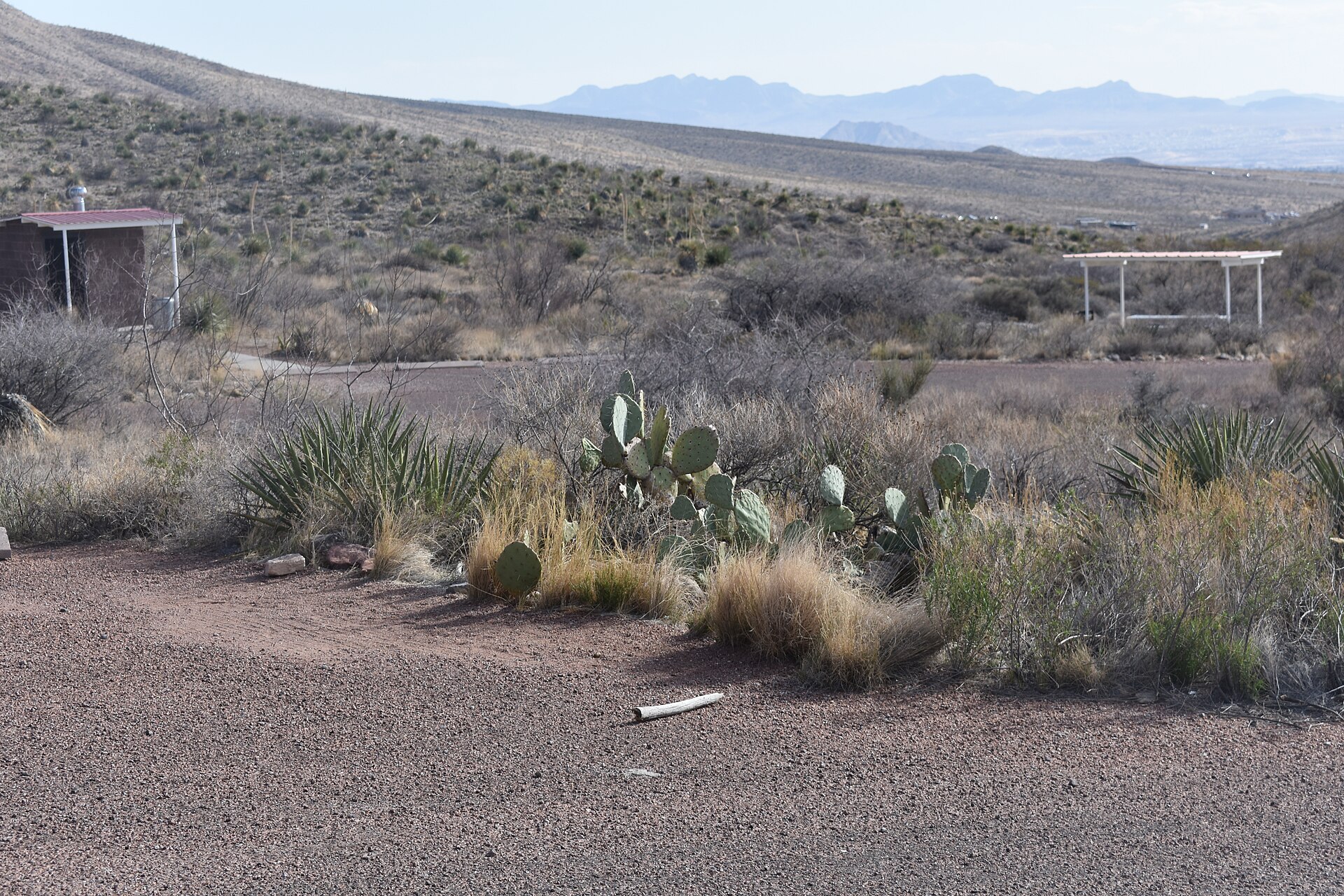
    Franklin Mountains State Park

    A rugged mountain park rising directly through El Paso, with desert hiking, mountain biking, climbing and high overlooks across the city, Rio Grande valley and surrounding Chihuahuan Desert.

    Best season: October through April; summer hiking should be limited to cool hours
    • North Franklin Peak country
    • Desert hiking and mountain biking
    • Rock climbing
    Explore this place

    Approx. 217 miles away

  • Brackettville · Kinney County · Big Bend Country

    Kickapoo Cavern State Park

    A remote western Hill Country park near Brackettville with wild-cave tours, rugged trails and seasonal evening flights of Mexican free-tailed bats from Stuart Bat Cave.

    Best season: Spring and fall for hiking; bat flights are seasonal
    • Guided wild-cave tours in Kickapoo Cavern
    • Seasonal bat flights from Stuart Bat Cave
    • Rugged limestone hiking and mountain biking
    Explore this place

    Approx. 197 miles away

  • El Paso · El Paso County · Big Bend Country

    Magoffin Home State Historic Site

    The 1875 adobe home preserves the story of a multicultural borderlands family influential in El Paso's civic, trade and regional development. The architecture and family story provide a strong introduction to El Paso as a borderlands city shaped by overlapping Mexican, American and regional traditions.

    Best season: Year-round; spring and fall are usually the most comfortable for outdoor portions of a visit.Updated Aug 2026
    • borderlands history
    • adobe architecture
    • El Paso
    Explore this place

    Approx. 216 miles away