Major Springs
Where Texas Comes Up From the Ground
A field guide to the springs that feed swimming holes, rivers and whole communities — and why the clearest water in Texas is also some of the most fragile.
Texas has a habit of hiding its best water underground. Drive through enough limestone country in August and the landscape looks sun-bleached, brittle and nearly empty of moisture. Then a creek bends under a stand of bald cypress and the water turns clear enough to count stones on the bottom. That abrupt change is the signature of a spring: groundwater reaching daylight.
The famous spring-fed places are easy to treat as isolated swimming holes, but they are really windows into much larger systems. Rain falls miles away, works through fractures and porous rock, collects in aquifers and eventually reappears at the surface. A pool in San Marcos, a swimming hole in Wimberley and a river reach west of Austin can all be expressions of groundwater that began somewhere else entirely.
The springs that shape a trip
Central Texas has several clusters worth understanding before you plan around them. San Marcos Springs rise at the headwaters of the San Marcos River and support one of the most ecologically unusual spring systems in the state. Comal Springs in New Braunfels feed the short, clear Comal River before it joins the Guadalupe. Barton Springs in Austin emerges along the Balcones Fault Zone and has anchored swimming culture there for generations. Farther west, spring-fed reaches of the Frio, Nueces and Devils rivers create startling ribbons of clear water through dry country.
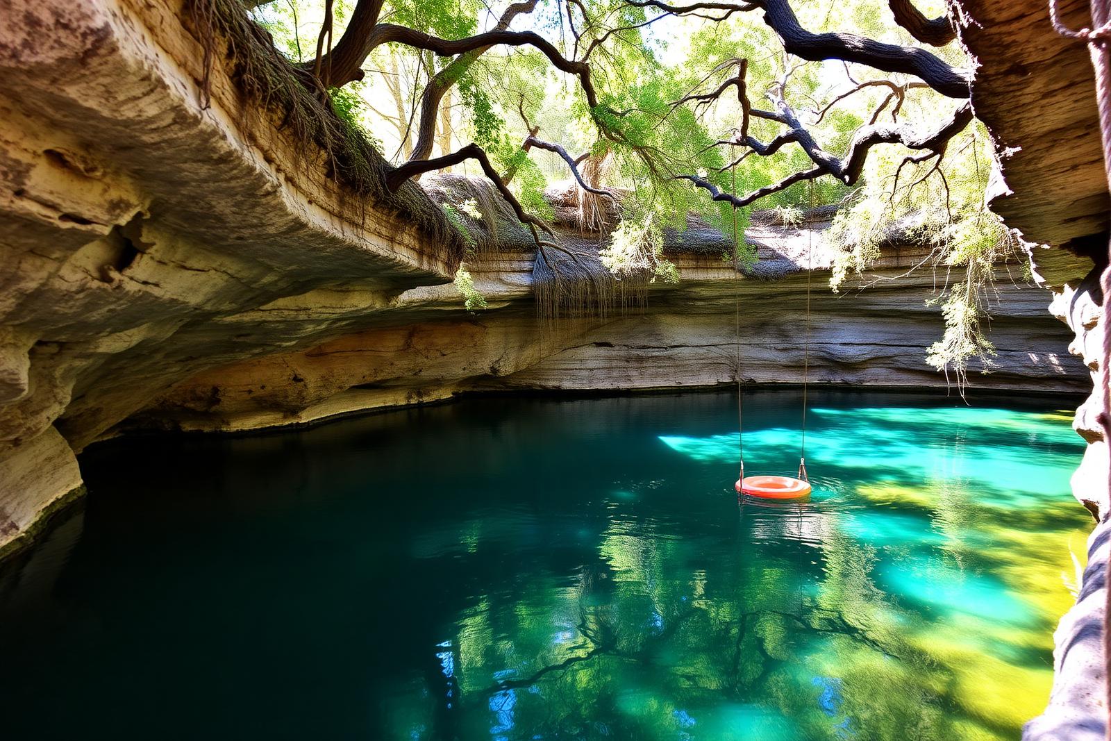
Wimberley offers perhaps the easiest introduction to the Hill Country spring landscape. Blue Hole sits on Cypress Creek beneath huge trees, while nearby Jacob's Well marks an artesian spring and cave system that has become a symbol of both the beauty and vulnerability of groundwater. Swimming access at spring-fed sites can change with drought and conservation conditions, so current rules matter more than an old travel article.
Why the water feels different
Spring water tends to emerge at a relatively stable temperature compared with sun-warmed surface water. That is why a July plunge can feel shockingly cold even when the parking lot is baking. The clarity comes from groundwater moving through rock rather than carrying the same load of suspended sediment that a storm-fed creek might. But clear does not mean invulnerable. Aquifers can respond to drought, pumping and contamination, and spring flow can fall dramatically when recharge is poor.
“A Texas spring looks permanent right up until the year it reminds you that it is not.”
How to visit without loving a spring to death
- Check the managing authority before you drive. Reservations, swimming closures and drought restrictions can change faster than guidebooks.
- Use established access points. Spring banks and aquatic vegetation are part of the system, not extra shoreline for a shortcut.
- Skip soaps, shampoos and anything else that belongs in a drain rather than a creek.
- Treat private-property boundaries seriously. Many spring runs cross private land even when the water itself looks inviting.
- If a site limits capacity, consider that a feature. The best spring day is one where the water still feels like the reason you came.
The best season is not always midsummer
Late spring and early summer get the attention because swimming is the obvious draw, but shoulder seasons can be better for actually seeing a spring system. March and April bring cooler hiking weather and stronger vegetation around many waterways. September and October can offer warm afternoons without the full crush of summer visitors. Drought changes everything, so recent flow conditions should outrank any generic seasonal advice.
The larger lesson is that spring country is not a collection of blue dots on a map. It is a connected groundwater landscape. Once you see it that way, the Hill Country makes more sense: the limestone, the cypress, the sudden clear pools and the fierce local arguments over pumping are all parts of the same story.
Filed under
- springs
- hill country
- swimming
- aquifers
Plan the trip
Places connected to this story
Destinations explicitly tied to this article in the Texas Defined guide.
Wimberley
Blue Hole, Wimberley
A spring-fed swimming area on Cypress Creek inside Wimberley's Blue Hole Regional Park, shaded by mature cypress trees and managed through a seasonal reservation system that protects the experience from uncontrolled crowding.
Best season: May through early September for reserved swimming; the surrounding regional park is open year-roundUpdated Aug 2026- Spring-fed Cypress Creek swimming beneath mature cypress trees
- Reservation-controlled seasonal swim sessions
- Shaded lawns and regional-park recreation outside the swim area
From the magazine