Beaches & Coast
Texas Gulf Coast Erosion: Where the Shoreline Is Retreating — and Why It Matters
Texas loses shoreline at an average 4.1 feet per year, with some hotspots retreating far faster. Here is how erosion is measured, where risk is greatest and what Texas is doing about it.
The Texas Gulf Coast is not a fixed line on a map. Beaches, dunes, barrier islands, marsh edges and bay shorelines move as waves, currents, storms, sediment supply, land subsidence and sea-level change reshape the coast. The Texas General Land Office says the average erosion rate across the state's 367 miles of Gulf coastline is about 4.1 feet per year. That average hides enormous local differences: some stretches are stable or advancing, while severe hotspots can lose tens of feet in a year.
How much Texas shoreline is actually eroding?
University of Texas Bureau of Economic Geology researchers report that roughly 80 percent of the Texas Gulf shoreline has retreated since the 1930s, producing a net land loss of nearly 15,000 acres. The causes vary by location, but researchers point to reduced sediment supply, relative sea-level rise, subsidence, waves and currents, and tropical storms.
The statewide 4.1-feet-per-year figure is useful for understanding scale, but it should never be applied blindly to an individual property. Erosion rates are calculated from repeated historical shoreline positions, aerial photography, lidar, field surveys and other geospatial data. A specific beach can behave very differently from the statewide average.
Sargent Beach shows how extreme the hotspots can get
Sargent Beach in Matagorda County is one of the clearest examples. The General Land Office reports historical erosion rates of about 42.88 feet per year near Mitchell's Cut on the western end and roughly 20 to 23 feet per year along the historic section east of FM 457. Storms including Hurricane Harvey and the active 2020 season accelerated beach loss there.
Those rates are why beach nourishment and stabilization projects matter differently from one community to another. A project that may look optional on a relatively stable stretch can be an infrastructure issue where the beach is retreating toward roads, homes, utilities or navigation facilities.
What coastal erosion threatens
- Homes, businesses and private property near the active shoreline
- Public beaches and legal beach access
- Roads, utilities, ports and industrial infrastructure
- Dunes, wetlands and marshes that buffer storm surge
- Wildlife habitat and nesting areas
- Tourism, fishing and other coastal economies
- Historic sites and structures that were built when the shoreline sat farther away
Storm damage and chronic erosion are related — but not identical
A hurricane can remove a large amount of beach in hours, but chronic erosion is the longer-term trend measured across decades. The two interact. A coast already losing sediment can become more vulnerable to a storm, while a major storm can abruptly shift dunes and shorelines and then begin a years-long recovery process.
The Bureau of Economic Geology has flown coastwide lidar surveys in 2000, 2010, 2011, 2012, 2019 and 2024, plus post-storm surveys after hurricanes including Ike, Harvey and Beryl. That long record lets researchers distinguish a one-time storm impact from a persistent retreat trend.
How to check shoreline movement for a specific Texas beach
The Bureau's Texas Shoreline Change Project maintains an interactive map with long-term and recent shoreline-movement rates. That is much more useful than applying the statewide average to Galveston, Bolivar, Surfside, Matagorda, Mustang Island or South Padre Island without local data.
For property decisions, historical shoreline movement is only one input. Flood zones, dune rules, beachfront-construction requirements, subsidence, storm-surge exposure, public-beach easements and local building standards can all matter. Buyers should verify current maps and regulations rather than relying on an old listing description or a single snapshot of the beach.
What Texas is spending to slow the losses
Texas uses the Coastal Erosion Planning and Response Act program, the Coastal Management Program and partnerships with local governments and federal agencies to fund beach nourishment, dune restoration, shoreline stabilization, habitat work and erosion studies. In February 2026, the GLO announced about $84.6 million for coastal projects across 14 counties. In March, it announced another approximately $39.06 million in Upper Gulf Coast awards through the current CMP and CEPRA cycles.
Not every dollar in those announcements is a beach-erosion project; the programs also support habitat, water quality and coastal access. But the scale shows how expensive it is to maintain a coast where communities, ecosystems and infrastructure occupy a shoreline that continues to move.
Beach nourishment, hard structures and living shorelines
There is no single erosion-control method that works everywhere. Beach nourishment replaces sand but may need to be repeated. Dune restoration can rebuild a natural storm buffer. Breakwaters, revetments and other hard structures can protect a specific asset but may change sediment movement. In bays and estuaries, living shorelines use combinations of vegetation, marsh, submerged habitat and wave-energy reduction structures to stabilize edges while preserving ecological function.
The practical takeaway for Texas travelers and coastal property owners
A favorite beach can look unchanged from one summer to the next while still showing a significant long-term retreat. The right scale is decades, not a weekend. Before planning construction, buying coastal property or assuming an access point will remain where it is, check the latest GLO and Bureau of Economic Geology data and current local rules.
- Statewide average Gulf-coast erosion rate: about 4.1 feet per year.
- About 80 percent of the Texas Gulf shoreline has retreated since the 1930s, according to UT Bureau of Economic Geology researchers.
- Sargent Beach includes hotspots measured at more than 40 feet of historical erosion per year.
- Shoreline behavior is local; use the interactive Texas Shoreline Change Project rather than a statewide average for a specific property or beach.
Sources and further reading
- Texas General Land Office — Coastal Erosion: https://www.glo.texas.gov/coastal/protecting-coast/coastal-erosion
- UT Bureau of Economic Geology — Texas Shoreline Change Project: https://www.beg.utexas.edu/research/programs/coastal/the-texas-shoreline-change-project
- UT Bureau of Economic Geology — Texas Geologic Hazards: https://www.beg.utexas.edu/geohazards
- Texas GLO — Sargent Beach stabilization and nourishment project: https://www.glo.texas.gov/about-glo/press-releases/commissioner-buckingham-announces-partnership-us-army-corp-engineers
- Texas GLO — 2026 coastal project awards across 14 counties: https://www.glo.texas.gov/about-glo/press-releases/land-commissioner-buckingham-awards-more-84-million-projects-across-14
- Texas GLO — 2026 Upper Gulf Coast preservation awards: https://www.glo.texas.gov/about-glo/press-releases/land-commissioner-buckingham-awards-over-39-million-coastal-preservation
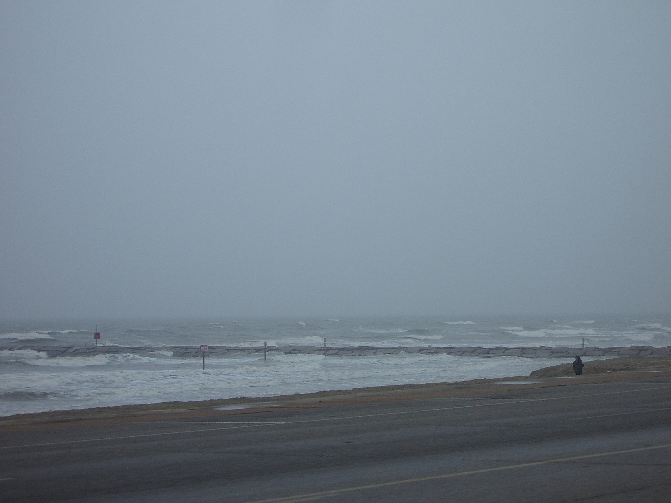
Image credit: Eben Calhoun · public domain · Wikimedia Commons
Primary source: Texas General Land Office / UT Bureau of Economic Geology ↗
Filed under
- Texas coastal erosion
- Texas Gulf Coast
- shoreline retreat
- beach erosion
- GLO
- Sargent Beach
From the magazine